Pix4D and Parrot announce the climate innovation grant winners
23rd June 2017
Pix4D and Parrot announce the climate innovation grant winnersAerial imaging is revolutionizing the way we capture, analyze, and utilize geospatial data. Using high-resolution aerial photography and remote sensing technologies, it provides accurate and detailed visual information essential for mapping, environmental monitoring, infrastructure planning, and disaster response.
Modern aerial imaging solutions include manned aircraft, UAVs (drones), and satellite-based systems equipped with advanced sensors such as LiDAR, multispectral, and hyperspectral cameras. These technologies enable high-precision mapping, 3D terrain modeling, change detection, and real-time geospatial analysis, supporting industries such as urban planning, agriculture, forestry, defense, and construction.
With cloud-based processing, AI-powered image analysis, and real-time data streaming, aerial imaging continues to advance, offering faster, more accurate, and scalable solutions for GIS professionals and decision-makers.
GeoConnexion provides the latest insights on aerial imaging trends, innovations, and applications, helping professionals leverage aerial data for better spatial intelligence and operational efficiency.
23rd June 2017
Pix4D and Parrot announce the climate innovation grant winners

22nd June 2017
Applanix Workshop on Direct Georeferencing for Airborne Mapping & Surveying
21st June 2017
Drone Inspections go nuclear with GPS and RADAR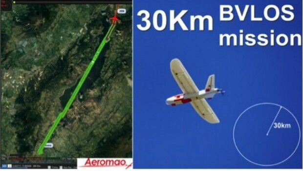
20th June 2017
Aeromapper Talon demonstrates BVLOS capabilities
16th June 2017
Orbit GT releases UAS Mapping v17.1 with Cloud Upload feature

13th June 2017
Pan-Europe commercial drone event starts next Tuesday. Don’t miss!
12th June 2017
senseFly to showcase drone innovations at INTERGEO 201712th June 2017
Drone Hero Finalists to Battle it Out in Brussels!
9th June 2017
Martek appoint leading UAS “Subject Matter Expert” as Technical Manager1st June 2017
COPTRZ Release First UK Drone Market Intelligence Report
1st June 2017
Bluesky Laser Mapping Helps Create Flood Alleviation Model for Yorkshire Water.jpg)
27th May 2017
National Flood Forecasting and Warning System for Malaysian rivers
25th May 2017
Bluesky Aerial Maps Help Assess Risk of Flash Floods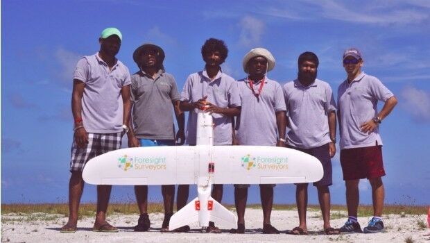
17th May 2017
Aeromapper Talon Surveys A Whole Maldives Island In A Single Flight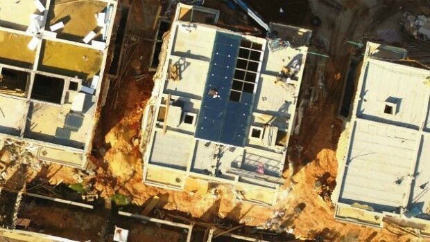
15th May 2017
Icaros Releases Ver 5.0 of OneButton™ Drone Image Processing Software15th May 2017
Responding to Emerging Environmental Threats
15th May 2017
1Spatial releases dates for exciting FME World Tour, courses, webinars
15th May 2017
AeroScientific Picture of the Month May 2017
15th May 2017
Bluesky National Tree Map Helps Daventry Plan Ground Maintenance
9th May 2017
PCI Geomatics Now a Planet Ecosystem Partner9th May 2017
Wantman Completes Extensive UAV Project with SimActive5th May 2017
PCI Geomatics to Present OBIA and InSAR Papers at ISRSE-37
4th May 2017
Save €225! Early-bird pricing ends tomorrow4th May 2017
37th EARSeL Symposium - Prague, Czech Republic in June 27-30, 2017.
28th April 2017
More efficient construction management with Pix4Dbim27th April 2017
GAF and partners awarded contract to map European riparian zones
27th April 2017
Speaker Line-up Announced for Third British Information Modelling Event
19th April 2017
Space Flight Laboratory (SFL) at IAA Berlin
19th April 2017
GeoPlace annual conference – “Why I hate addresses” and all that
18th April 2017
Distribution of WorldView-4 satellite imagery in Europe begins
18th April 2017
3D Repo Cloud Platform adds Integrated Virtual Reality
13th April 2017
EarthSense Show Trees are Most Cost Effective Way of Tackling Urban Air Pollution
12th April 2017
Ecometrica lands on FT1000 list of Europe's fastest growing companies
12th April 2017
KPF Joined by HOK, OS and Unit9 for Third British Information Modelling Event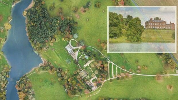
11th April 2017
National Trust Deploys Laser Survey Aircraft from Bluesky to Map in 3D
7th April 2017
Arithmetica Reveals New Pointfuse Point Cloud 3D Modelling Software