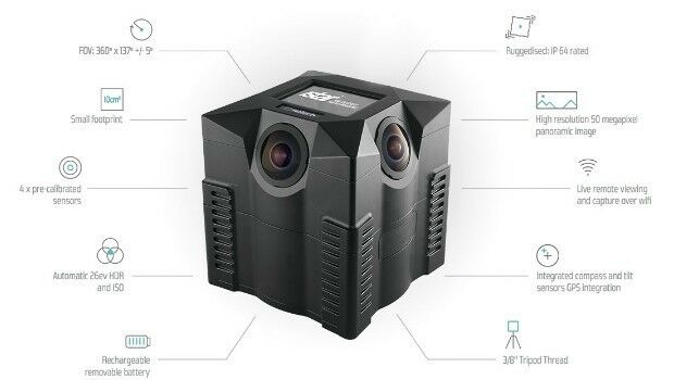
iSTAR 360 degree Measurement Module integrated by imaging companies
10th August 2016
iSTAR 360 degree Measurement Module integrated by imaging companies
10th August 2016
iSTAR 360 degree Measurement Module integrated by imaging companies10th August 2016
MICROMINE's latest feature on Implicit Modelling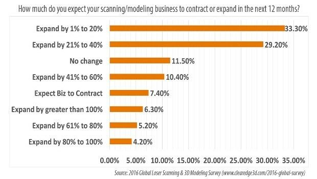
9th August 2016
78.7% of AEC Firms Expect Scanning/Modeling Work to Increase5th August 2016
Cityworks Announces the Release of Cityworks 15.1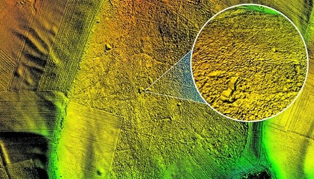
4th August 2016
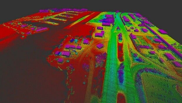
Bluesky aerial laser maps reveal Battle of the Somme secrets for TV show
2nd August 2016
The integrated management of municipal infrastructure2nd August 2016
Pix4D Elevates Agriculture Software to Desktop & Cloud Solution29th July 2016
Key Developments to Luciad's Geospatial Software Solutions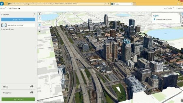
29th July 2016
ContextCapture Improves Quality of Reality Modeling
26th July 2016
Maptek and BBE collaborate around advanced mine ventilation solutions25th July 2016
A look around the UAS boom industry at interaerial SOLUTIONS
22nd July 2016
Bluesky Provides a Bird’s Eye View of the Goodwood Festival of Speed15th July 2016
Bentley Announces Autodesk License Upgrade Program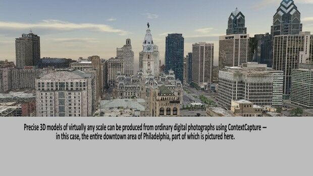

12th July 2016
Handheld Launches the NAUTIZ X2 All-in-One Rugged Android Device
5th July 2016
Leica Geosystems announces world’s first fused airborne sensor
5th July 2016
Join us for the Hexagon Media Roundtable at ISPRS1st July 2016
Bentley and Shell Announce Global Framework Agreement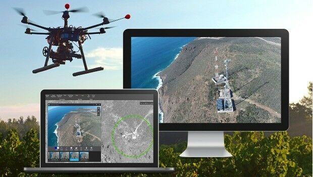
27th June 2016
Bentley Announces Global Framework Agreement with Shell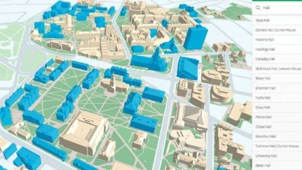

24th June 2016
Arithmetica’s SphereVision Captures 360 Degree Sub-Sea Selfies on YouTube Beach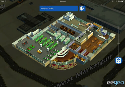
22nd June 2016
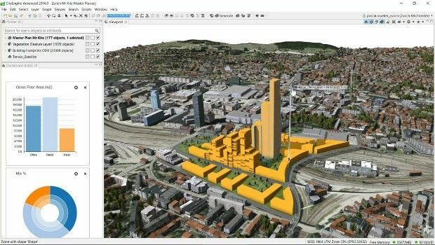
Build Smart 3D Cities in Minutes with Game-Changing Esri CityEngine
20th June 2016
MICROMINE’s Pitram allows mine operators greater control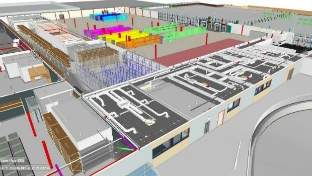
17th June 2016
ISG Chosen as Asda Works Towards Level 2 BIM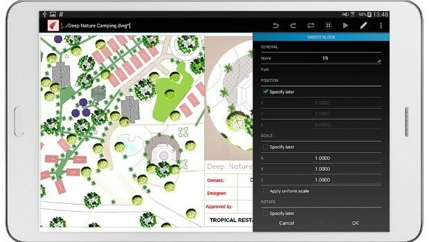
15th June 2016
ARES Touch Android CAD Solution Now Available
14th June 2016
LuxCarta Announces Investment for its Growth Strategy_Copyright_Dassault_SysteI%20mes.jpg)
13th June 2016
Dassault Systèmes and Cybernaut Investment Group Sign Agreement
13th June 2016
AECOM collaborates with Trimble on the use of HoloLens technology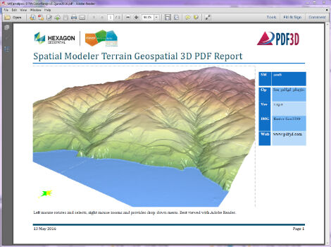
13th June 2016
PDF3D Releases 3D Geospatial PDF Plugin for ERDAS IMAGINE
10th June 2016
CartoConsult 3D maps add a creative edge to university prospectus
10th June 2016
Plowman Craven wins Parliament BIM & scanning contract
9th June 2016
Bluesky’s 3D Laser Maps Inform BIM Projects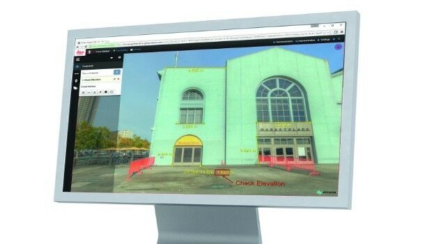
8th June 2016
Leica Geosystems releases new software capabilities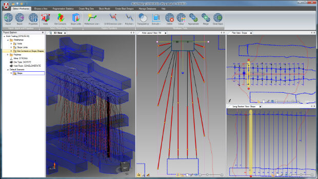
8th June 2016
Merrick-Surdex JV Awarded Contract with USGS
6th June 2016
Urban Planning: the benefits and challenges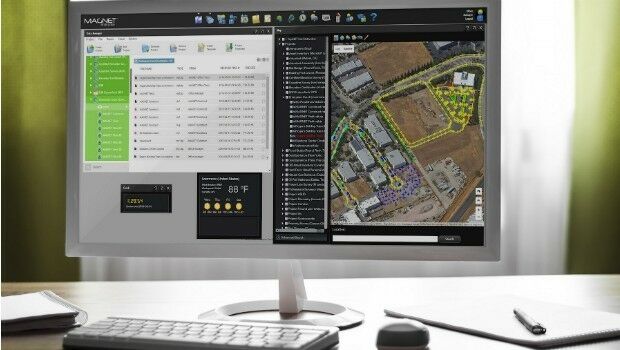
3rd June 2016
Topcon and Bentley integration between MAGNET 4.0 and ProjectWise1st June 2016
PDF3D's New PowerPoint Plugin Brings Interactive 3D to Presentations
1st June 2016
The Colorado School of Mines and MICROMINE form Partnership1st June 2016
Learn to Start Working with ArcGIS Earth from Esri