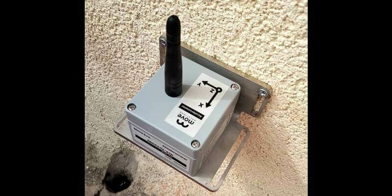
KOREC Group announces new partnership with Move Solutions
3rd February 2022
KOREC Group announces new partnership with Move SolutionsNews as it happens! Keep in touch with the latest developments in business and technology in the regions or worldwide.
3rd February 2022
KOREC Group announces new partnership with Move Solutions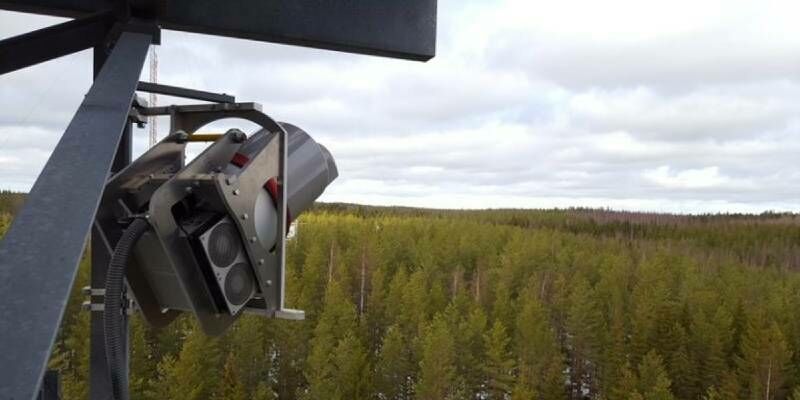
3rd February 2022
RIEGL VZ-2000i used for permanent forestry monitoring
3rd February 2022
Bluesky Aerial Photography Helps Derby Homes Boost Solar Energy Output and Reduce Carbon Emissions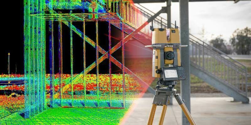
2nd February 2022
Topcon Announces GTL-1200 Scanning Robotic Total Station
2nd February 2022
u-blox launches scalable digital certificate management system for IoT devices
2nd February 2022
Second Generation COSMO-SkyMed Satellite Successfully Launched
1st February 2022
Oxfordshire Fire and Rescue Service invests in independently performed Risk Modelling
1st February 2022
FREQUENTIS Australasia to develop drone integration platform for Airservices Australia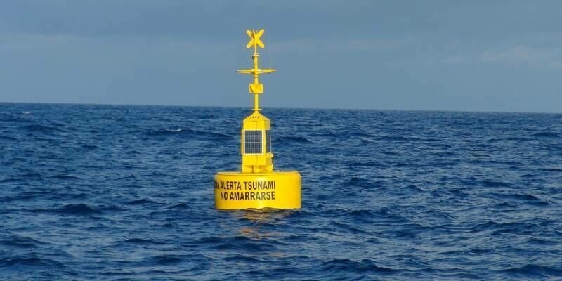
1st February 2022
MSM Ocean and Sonardyne partner on tsunami early warning system
1st February 2022
Inertial developments for the marine market on show at Oceanology Int
31st January 2022
Critigen Rebrands as Locana Leading a New Era in Location Intelligence
31st January 2022
Get the Inside Scoop and Join Us at GEO Week 2022
28th January 2022
Teledyne FLIR Introduces X858x and X698x Families of High-Speed, High-Resolution Thermal Science Cameras
28th January 2022
EUSPA to further boost space investments with CASSINI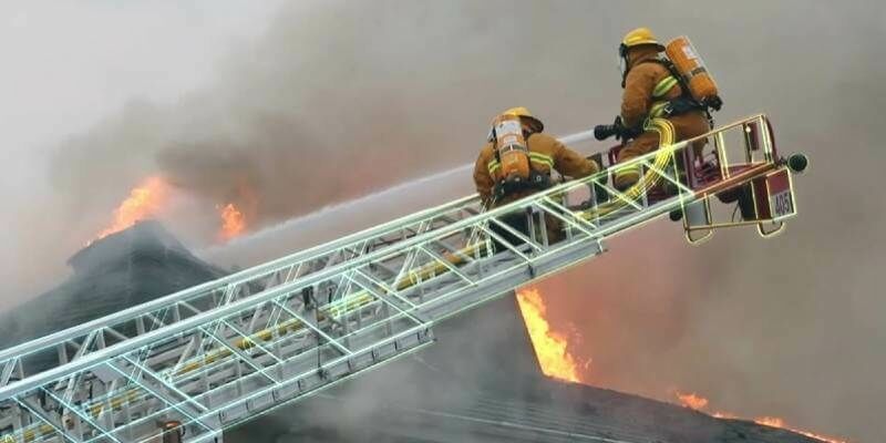
28th January 2022
North Wales Police to deploy Hexagon’s cloud-based, next-generation dispatch system
27th January 2022
EarthCam 4D Brings Construction Digital Twins to Life
27th January 2022
1Spatial adds support for GeoPackage and other data formats
27th January 2022
Luminar to Enable Enhanced Safety and Autonomy on Mercedes-Benz Passenger Cars
26th January 2022
RTK From the Sky technology transforms Hexagon | NovAtel TerraStar-C PRO service with three minute global convergence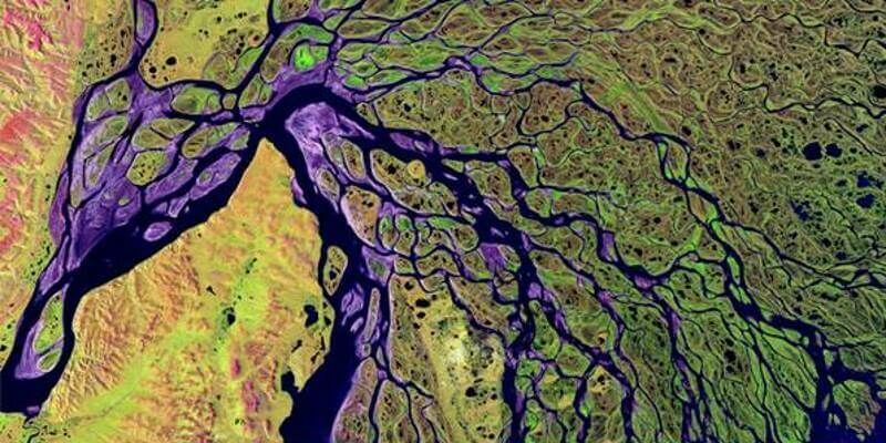
26th January 2022
OGC Publishes Best Practice for Earth Observation Application Packages
26th January 2022
CNH Deploys Tallysman Verachoke Geodetic Reference Station Antennas
25th January 2022
Juniper Systems Limited Expands Sales Team for United Kingdom and Ireland
25th January 2022
Join us for the 2022 FME World Tour in a city near you!
24th January 2022
The International Space Station connected via the SpaceDataHighway