Airbus to develop the Power Management and Distribution System for key Lunar Gateway module
11th January 2022
Airbus to develop the Power Management and Distribution System for key Lunar Gateway moduleNews as it happens! Keep in touch with the latest developments in business and technology in the regions or worldwide.
11th January 2022
Airbus to develop the Power Management and Distribution System for key Lunar Gateway module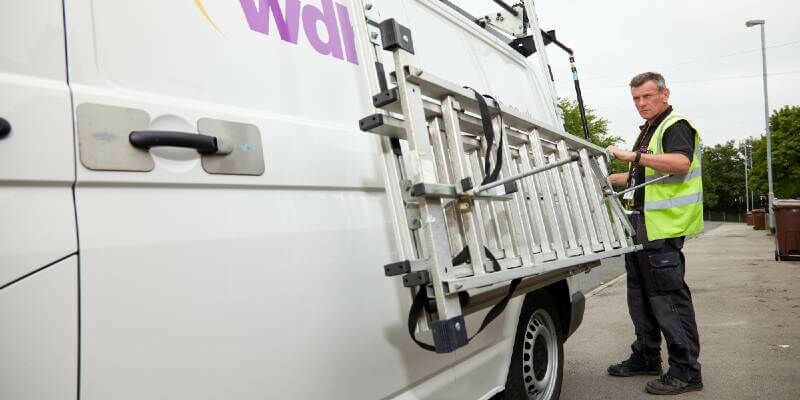
9th January 2022
VinFast taps HERE to accelerate in-car navigation for its smart electric cars
7th January 2022
OGC Membership approves the OGC API – Processes – Part 1: Core specification as official OGC Standard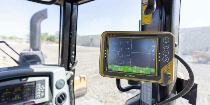
7th January 2022
Topcon announces MC-X Platform and MC-Max machine control solution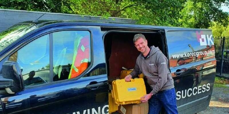
6th January 2022
KOREC Group seeks to expand workforce in Ireland and UK with 30 new positions6th January 2022
Hexagon and Dayou partner to bring high accuracy GNSS corrections to the China market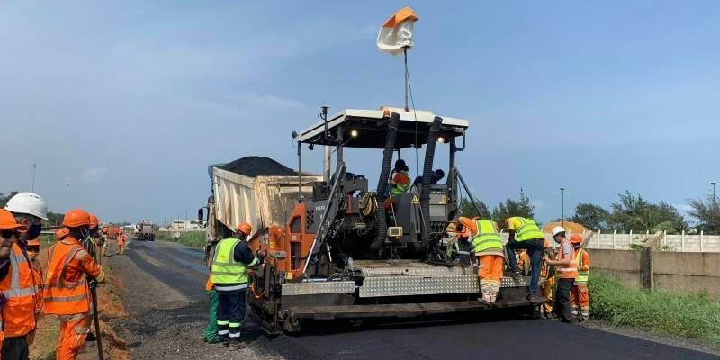
5th January 2022
Improving efficiency by 25% at Cotonou Cadjehoun Airport with Topcon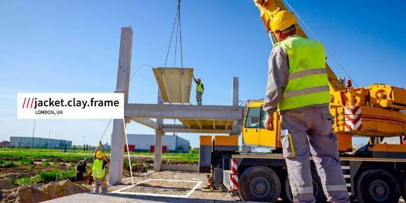
5th January 2022
BigChange adopts what3words to help locate sites for deliveries and field service work
5th January 2022
HERE launches Indoor Map as a service with SBB AG as first customer29th December 2021
SSC to establish a highly capable SSA station in Australia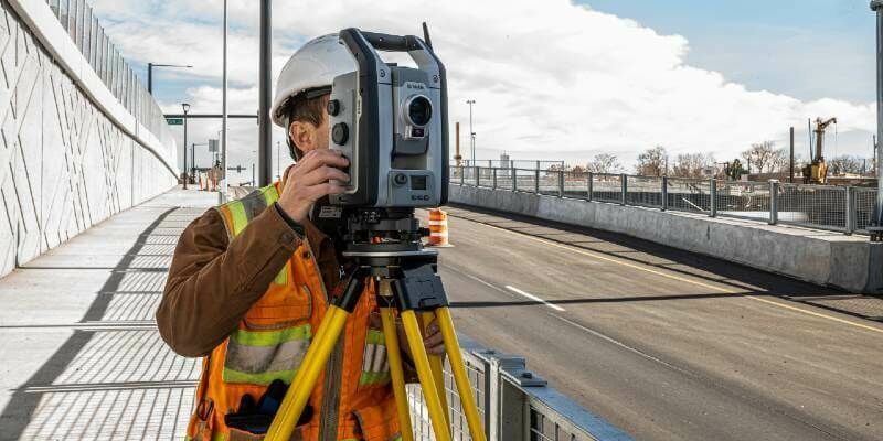
29th December 2021
Trimble Expands Sensor Integration and Support for its Geospatial Monitoring Solution23rd December 2021
The Hamburg Port Authority and HERE improve truck traffic management in the Port of Hamburg
23rd December 2021
Terrasolid maps the world in 3D – 3D PluraView monitors visualize in Stereo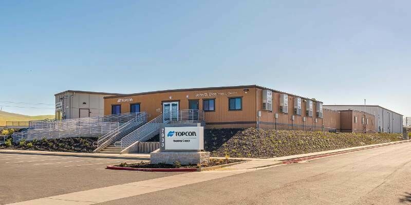
22nd December 2021
Topcon Positioning Group expands global headquarters22nd December 2021
AI Powered Hardware to Enhance UAV Capabilities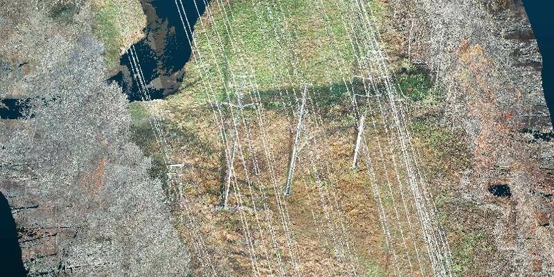
22nd December 2021
Exelon Clearsight Acquires GeoCue’s True View 615 LIDAR/Imagery Mapping Sensor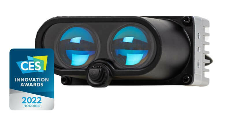
17th December 2021
XenomatiX named as CES 2022 Innovation Awards Honoree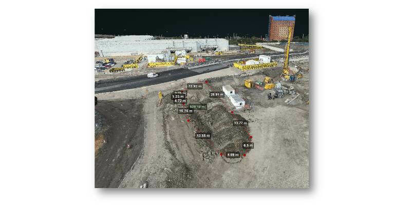
17th December 2021
Brent Cross Town £7bn scheme improves workflows with new drone software
16th December 2021
Hexagon’s R-evolution expands its sustainability agenda to help protect coastal blue carbon ecosystems
16th December 2021
OGC Membership approves new version of 3D streaming Community Standard, I3S15th December 2021
GMV Begins Production of Navigation System for VCR 8x815th December 2021
UP42 Announces Thetaspace as Copernicus Masters Challenge Winner with Solution to Cloud Cover in EO Data