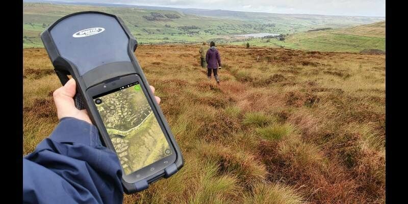
Yorkshire Wildlife Uses MGISS Cloud Technology to Map and Protect Habitats
5th November 2020
Yorkshire Wildlife Uses MGISS Cloud Technology to Map and Protect HabitatsNews as it happens! Keep in touch with the latest developments in business and technology in the regions or worldwide.
5th November 2020
Yorkshire Wildlife Uses MGISS Cloud Technology to Map and Protect Habitats
5th November 2020
GPI and RIEGL: From the Ground to the Skies5th November 2020
The digitalPMRExpo 2020 is picking up speed5th November 2020
Mantle Labs to develop new soil moisture-based drought insurance solution5th November 2020
u-blox chooses SystemWeaver for developing safe GNSS products
4th November 2020
Improving your Photogrammetric Workflow with New Version 8.6
4th November 2020
Airbus wins European Space Agency TRUTHS mission study for metrological traceability of Earth observation data4th November 2020
Septentrio mosaic-H, accurate positioning and heading in a single compact module
4th November 2020
Leica Geosystems innovates automated total station portfolio3rd November 2020
Swift Navigation’s Production-Grade SSR Service is Now Available Across Two Continents
3rd November 2020
New RIEGL VUX-120 Video Available On Youtube
3rd November 2020
OGC announces kickoff to the Geospatially Enabled Ecosystem for Europe (GeoE3) project3rd November 2020
Record-breaking drone show enabled by u-blox positioning technology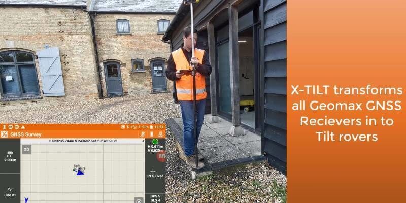
1st November 2020
GeoMax launches major update to X-PAD software
1st November 2020
Just 2 Weeks to Go Until SMi Group’s 22nd Annual Global MilSatCom Virtual Conference & Exhibition1st November 2020
Amid Continuing Uncertainty, Investing in African Mining Indaba Announces Cancellation of the 2021 Edition and Launches a Virtual Event30th October 2020
The shortlist nominees for the 2020 IoT Global Awards are…

30th October 2020
MGISS Mapping Technology Helps Urban Surveyors Achieve Ultimate Accuracy30th October 2020
RS Fire 2020: The Remote Sensing & Wildland Fire Symposium Series29th October 2020
GeoSLAM Completes Spook-Tacular Scanning of Californian Landmark
29th October 2020
UP42 Partners with Intermap to Bring High-Resolution Elevation Data to UP42’s Geospatial Marketplace
29th October 2020
1Spatial partners with Environment Agency and Defra to enable automatic quality-assured and timely geoCOBie asset information delivery from suppliers