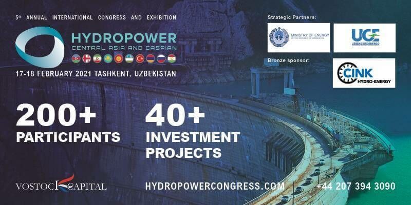
Hydropower Central Asia and Caspian 2021
17th November 2020
Hydropower Central Asia and Caspian 2021News as it happens! Keep in touch with the latest developments in business and technology in the regions or worldwide.
17th November 2020
Hydropower Central Asia and Caspian 2021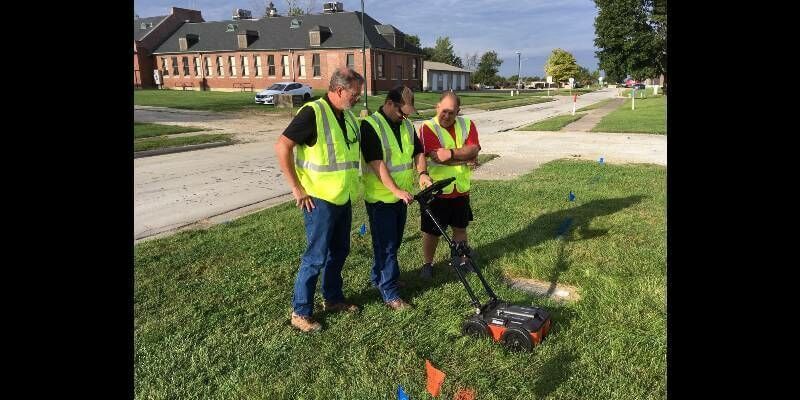
17th November 2020
GPR for Utility Locating Offers Safety, Efficiency, and Revenue Benefits
16th November 2020
Scottish Government extends viaEuropa web services agreement
16th November 2020
Siradel receives Smart 50 Award at Smart Cities Connect
16th November 2020
Airbus wins ESA’s LSTM temperature-check mission for Copernicus next generation
13th November 2020
TravelTime Hosts ArcGIS Network Analysis Workshop For GIS Day

13th November 2020
Illinois Institute of Technology to Establish Trimble Technology Lab for Civil, Architectural, and Environmental Engineering
12th November 2020
New digital twin technologies from Bloc Digital to reduce time and cost of satellite development lifecycle
12th November 2020
Ordnance Survey appoints Carly Morris as Head of Geovation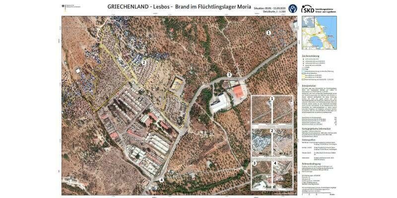
12th November 2020
GAF AG and BKG intensify their cooperation regarding the provision of multi-source remote sensing data
11th November 2020
New high-resolution CoaXPress cameras engineered for long-term reliability in harsh environments

11th November 2020
Esri Announces Launch of ArcGIS Field Maps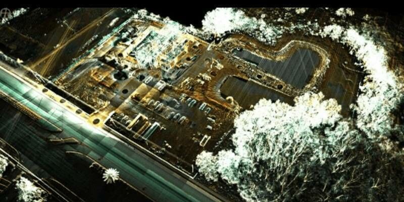
10th November 2020
RIEGL’s Ultimate LiDAR Webinar Series: November 2020
10th November 2020
USGIF White Paper: Geospatial Intelligence & AI/ML Progress During a Pandemic
10th November 2020
SimActive Releases Version 8.6 of Correlator3D
10th November 2020
Pix4D launches new ground image capture app for 3D modeling with the iPad Pro and iPhone 12 Pro
9th November 2020
OGC simplifies EO data access and analysis through novel, standards-based technique
9th November 2020
Recordings are Now Available for the RIEGL Ultimate LiDAR October Webinar Series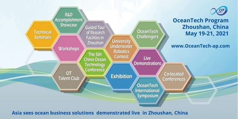
9th November 2020
‘Surf’s Up’ at OceanTech 2021 – Asia sees ocean business solutions demonstrated live in Zhoushan China
6th November 2020
Road Pavement Analysis with the RIEGL VMX-2HA Mobile Mapping System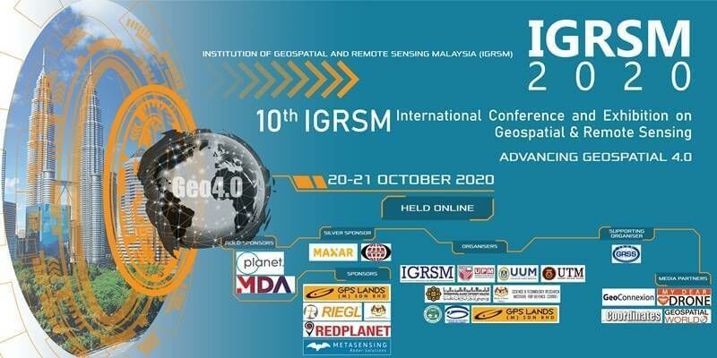
6th November 2020
Deepest Gratitude and Appreciation for the Invaluable Support Provided for the 10th IGRSM International Conference and Exhibition on Geospatial & Remote Sensing (IGRSM 2020)
6th November 2020
Public and private sectors choose Smart City Live