
DJI Unveils First Integrated Lidar Drone Solution And A Powerful Full-Frame Camera Payload For Aerial Surveying
28th October 2020
DJI Unveils First Integrated Lidar Drone Solution And A Powerful Full-Frame Camera Payload For Aerial SurveyingNews as it happens! Keep in touch with the latest developments in business and technology in the regions or worldwide.
28th October 2020
DJI Unveils First Integrated Lidar Drone Solution And A Powerful Full-Frame Camera Payload For Aerial Surveying
28th October 2020
EGNOS enabled PPUs in the Port of Seville
28th October 2020
TCarta Develops AI-Based Commercial Bathymetric Mapping Technologies with National Science Foundation Grant
28th October 2020
Septentrio announces open source software and hardware for autonomous applications with GNSS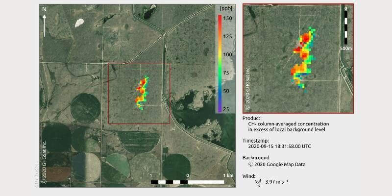
27th October 2020
GHGSat Reports Smallest Methane Emission Ever Detected from Space with Microsatellite Developed by Space Flight Laboratory (SFL)
27th October 2020
u-blox positioning technology helps bring smarter altimeters to aerial athletes
27th October 2020
New head of EuroGeographics aims to put official geospatial data on the map in the heart of Europe
27th October 2020
3D PluraView Monitor product family expanded – new 22″ Full-HD Model
25th October 2020
Route Masters to build integrated public transport platform for African megacities
25th October 2020
HERE integrates what3words into in-car navigation feature
25th October 2020
UAVOS Continues to implement its Unmanned Aircraft Conversion Program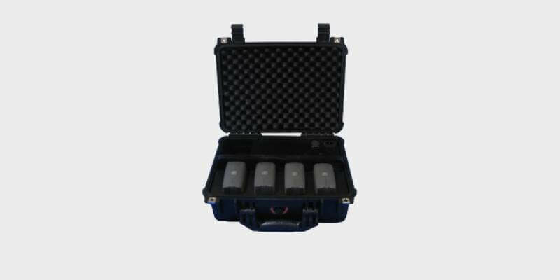
25th October 2020
Parrot Announces Partnership with Colorado Drone Chargers
23rd October 2020
Esri Ireland partners with Bluesky to enhance its digital mapping offering in Ireland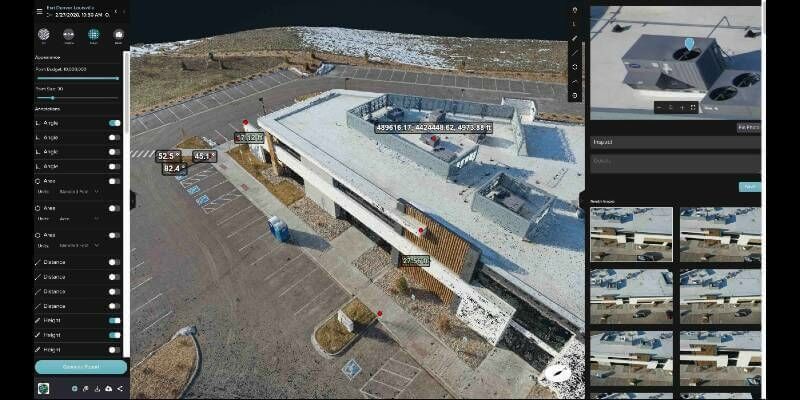
23rd October 2020
Esri UK signs partnership with drone hardware specialist Heliguy to create end-to-end drone solution for AEC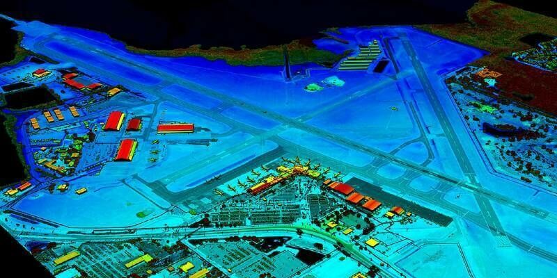
23rd October 2020
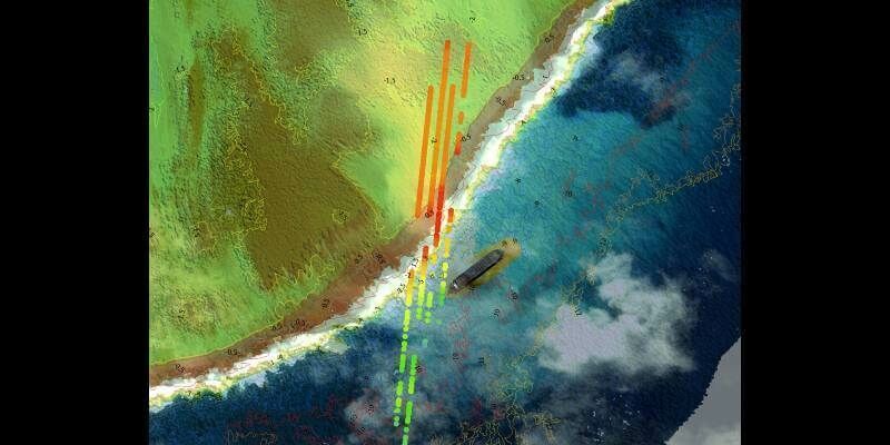
VeriDaaS Plans Statewide California LiDAR Mapping Project in Spring 2021 for Public and Private Customers
23rd October 2020
RIEGL’s Market Presence Expands Through Distribution Partnership in Mexico with TTQ de Monterrey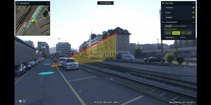
23rd October 2020
Hexagon Releases Luciad 2020.1, Featuring Unique Dynamic Panoramic Imagery Capabilities
22nd October 2020
Juniper Systems Limited Expands Team in EMEA, India
22nd October 2020
RS Fire 2020: The Remote Sensing & Wildland Fire Symposium Series
22nd October 2020
Experts Parag Khanna, Saskia Sassen, Carlo Ratti and Sameh Wabah, keynotes at Smart City Live
22nd October 2020
MGISS Helps Northumbrian Water Mitigate Risk from Trees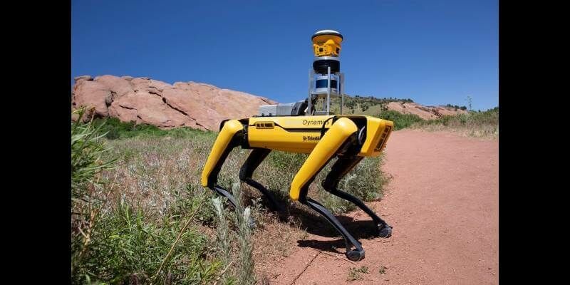
21st October 2020
Trimble and Boston Dynamics Announce Strategic Alliance to Extend the Use of Autonomous Robots in Construction
21st October 2020
UP42 Partners With Hexagon To Offer HxGN Content Program Aerial Imagery on Geospatial Marketplace