
HERE ranked No.1 in Strategy Analytics benchmarking report on location-based services
11th May 2021
HERE ranked No.1 in Strategy Analytics benchmarking report on location-based servicesNews as it happens! Keep in touch with the latest developments in business and technology in the regions or worldwide.
11th May 2021
HERE ranked No.1 in Strategy Analytics benchmarking report on location-based services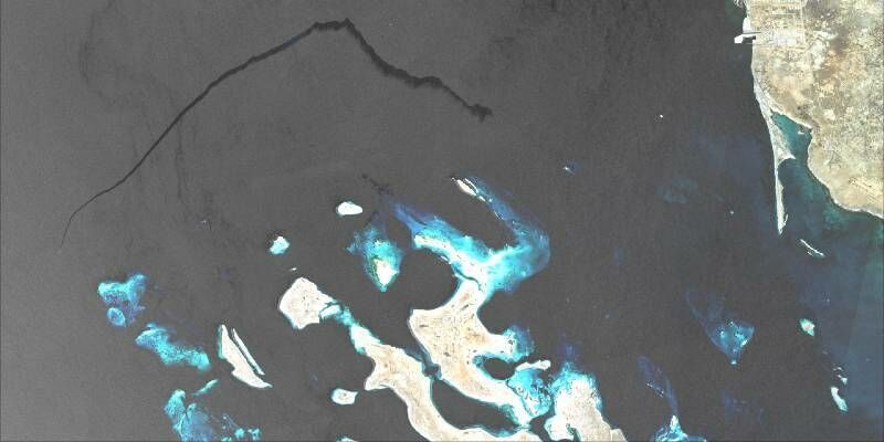
11th May 2021
CGG Launches SeaScope as part of expanding environmental monitoring portfolio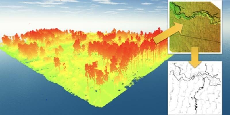
10th May 2021
Terra Drone Has Completed 1000+ LiDAR Survey Projects Globally in 2020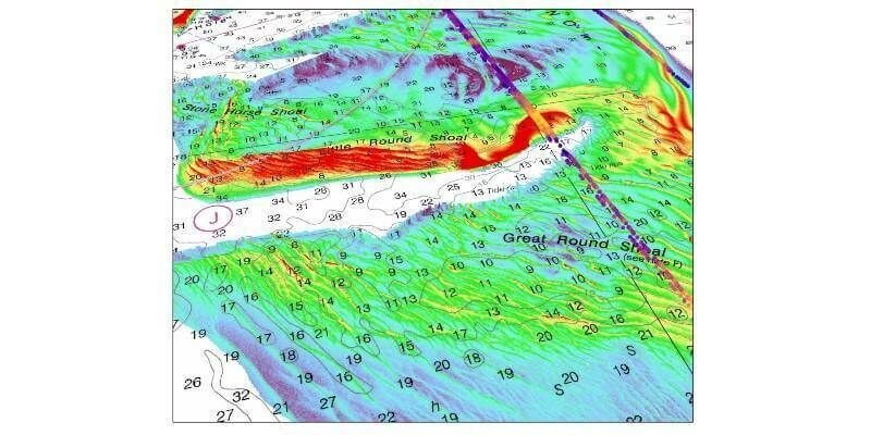
10th May 2021
TCarta Delivers Satellite-Derived Bathymetry to NOAA for U.S. Coastal Mapping Pilot

7th May 2021
Riegl Ricast: One Point Cloud At A Time- Extracting Value From Points
7th May 2021
Bluesky 3D Building Models Strengthen BIM Workflows for Buttress Architects7th May 2021
Moscow hosts international online forum - the Smart Cities Moscow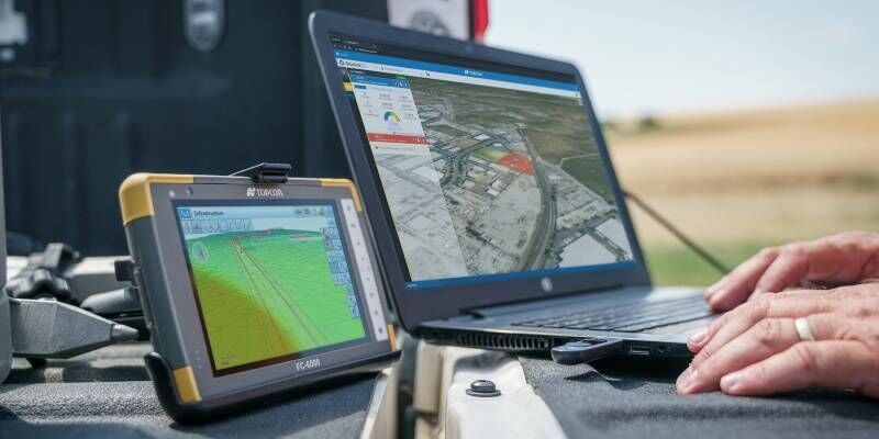
6th May 2021
Latest Topcon construction and survey software available now for compatible, comprehensive connectivity
5th May 2021
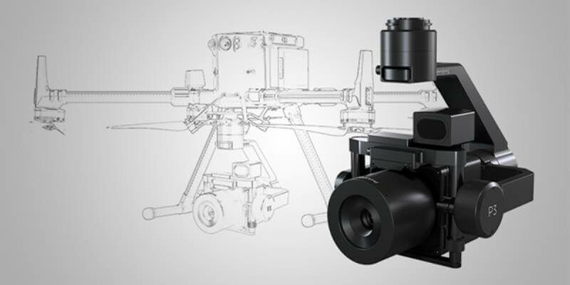
Introducing: P3 Payload - Unmatched inspection productivity and versatility
5th May 2021
BIM Planning and viewing - consistently in 3D stereo: 3D PluraView and ELITECAD make it possible
5th May 2021
UK Hydrographic Office appoints Chief Executive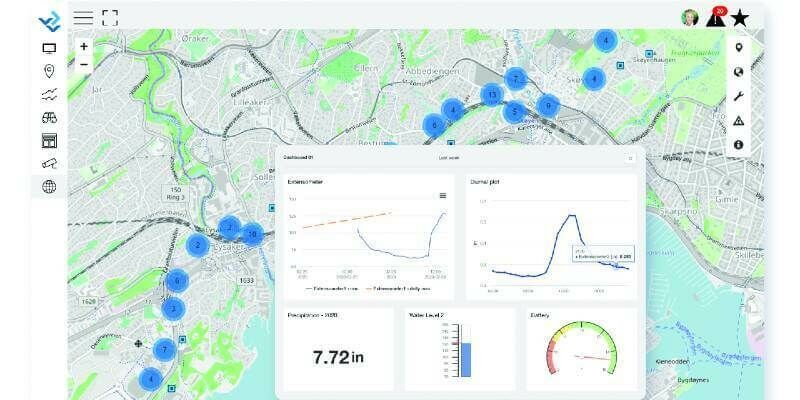
5th May 2021
Bentley Systems Announces Acquisitions of sensemetrics and Vista Data Vision, Leaders Respectively in Software for Infrastructure Instrumentation and Sensor Management
4th May 2021
We’re looking for the best in IoT, is that you?
4th May 2021
GeoMax introduces new X-PAD 365 service platform
4th May 2021
Hexagon selected by Munich for shared mobility solution
30th April 2021
Hexagon’s HxDR to host 3DNL, Cyclomedia’s Digital Twin of the Netherlands30th April 2021
The 2021 IoT Global Awards are Open for Entries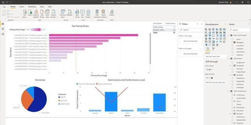
30th April 2021
Gaining Data Insight with 1Data Gateway and Dashboarding
29th April 2021
Garmin announces GWX 8000 StormOptix weather radar with automated weather threat analysis technology
29th April 2021
CGG Delivers 9,300 sq km of Data from Agata Reimaging to Support Brazil’s 7th Bidding Round
29th April 2021
HawkEye 360 Leverages Machine Learning from AWS to Optimize Maritime Security and Vessel Monitoring Capabilities
28th April 2021
Campfire Emerges From Stealth With Unique Holographic Collaboration System for Professional 3D Design Workflows