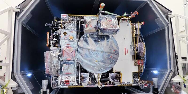
JUICE Jupiter probe’s first taste of space
28th April 2021
JUICE Jupiter probe’s first taste of spaceNews as it happens! Keep in touch with the latest developments in business and technology in the regions or worldwide.
28th April 2021
JUICE Jupiter probe’s first taste of space
28th April 2021
Europa Technologies launches europaIQ property intelligence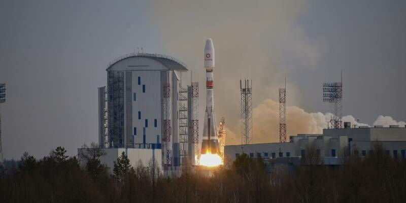
27th April 2021
OneWeb’s Successful Launch #6 Marks Next Step in Bringing Fibre-like Connectivity to the Maritime Industry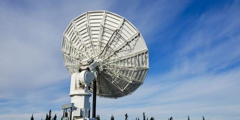
27th April 2021
SSC announces four new polar antennas to strengthen its unmatched polar connectivity
26th April 2021
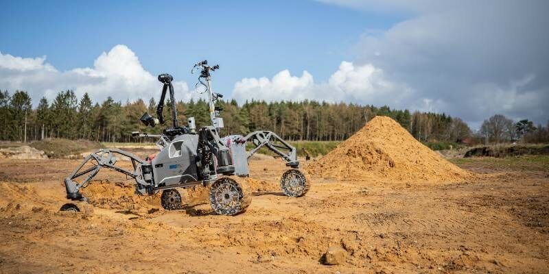
The ADE robotics project carries out the final field tests
26th April 2021
Riegl Ricast: Scan And Deliver – The New Vux-120
26th April 2021
Public Comment requested on OGC API - Common candidate standard, which outlines common elements for all OGC APIs
23rd April 2021
HERE Marketplace to include Tomorrow.io weather data to improve operational efficiency for enterprises
23rd April 2021
Architect Brings Design to Life with Virtual Reality Using 3D Building Models

22nd April 2021
Plowman Craven Passes Reins To Its Employees
22nd April 2021
CGG’s Smart Data Solutions Business Optimizes Performance of PleXus Data Management System
22nd April 2021
Trimble and Amberg Technologies Collaborate on a Solution for Tunneling Surveyors and Construction Professionals in North and South America

21st April 2021
Wiltshire Council uses Bluesky National Tree Map to Manage Public Tree Stock
21st April 2021
10% Of Flights Donated To The Woodland Trust
20th April 2021
What Is GeoIgnite And What Does It Hold In 2021 For Canada’s Geospatial Industry?
20th April 2021
Septentrio launches its next-gen GNSS/INS product line: AsteRx-i3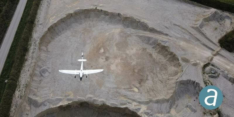
19th April 2021
Processing of Quantum-Systems Drone Data Integrated in SimActive Software
19th April 2021
TDI-Brooks International Heads To The East Coast Of The Us To Support Offshore Wind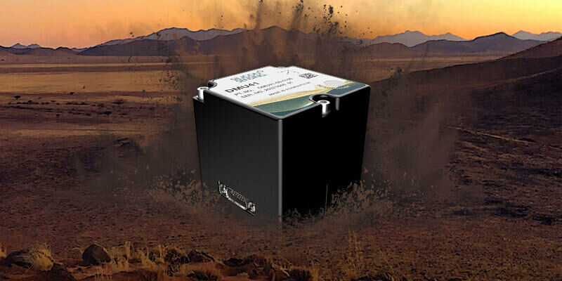
19th April 2021
Silicon Sensing introduces a new 9 DoF inertial measurement unit – the DMU41