Major LiDAR Survey Completed at Elland Road Stadium to Support Redevelopment
9th April 2026
Major LiDAR Survey Completed at Elland Road Stadium to Support Redevelopment
RIEGL is an international leading provider of cutting-edge technology in airborne, mobile, terrestrial, bathymetric, industrial and UAV-based laser scanning for applications in surveying.
RIEGL has been producing LiDAR systems commercially for more than 45 years and focuses on pulsed time-of-flight laser radar technology in multiple wavelengths.
RIEGL’s core Smart-Waveform technologies provide pure digital LiDAR signal processing, unique methodologies for resolving range ambiguities, multiple targets per laser shots, optimum distribution of measurements, calibrated amplitudes and reflectance estimates, as well as the seamless integration and calibration of systems.
RIEGL's Laser Scanners and Systems offer a wide array of performance characteristics and serve as a platform for continuing Innovation in 3D for the LiDAR industry.
+43 2982 4211
3580 Horn, Austria
1978
Data Capture
Terrestrial Surveying
Laser Scanning
Surveying Instrumentation
Mobile Mapping
Archaeology & Heritage
Mining
Forestry
Disaster Management
Architecture, Engineering & Construction (AEC)
9th April 2026
Major LiDAR Survey Completed at Elland Road Stadium to Support Redevelopment
26th February 2026
RIEGL UK Hosting the Heritage Geospatial Symposium in York
9th October 2025
Innovation in Every Pulse: RIEGL’s New LiDAR Technologies
29th September 2025
The RIEGL VZ-600i in Action: Mobility Meets Precision on “The 3rd Dimension” YouTube Series
26th September 2025
Recording Available Now for RIEGL’s September Webinar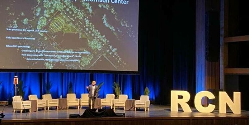
22nd September 2025
Reality Captured, Future Unlocked: RIEGL’s VZ-600i Leads the Charge at R-CON Boise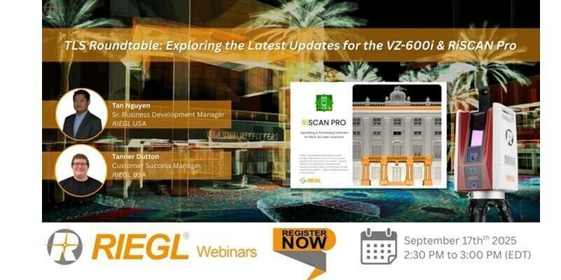
9th September 2025
RIEGL Webinar Announcement: TLS Roundtable – Exploring the Latest Updates for the VZ-600i & RiSCAN Pro
29th August 2025
Scanning Hallstatt: RIEGL LiDAR Transforms Exploration of a World Heritage Landscape
10th August 2025
Scaling New Heights: Linkfast Techology Company Uses RIEGL VZ-600i to Deliver Fast, Precise Laser Scanning of the Taipei Dome
8th August 2025
Bright Lights, Bold Flights: RIEGL LiDAR is Flying High at the 2025 Commercial UAV Expo in Las Vegas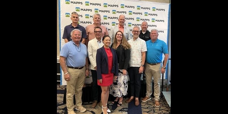
31st July 2025
RIEGL USA’s My-Linh Truong Re-Elected to MAPPS Board of Directors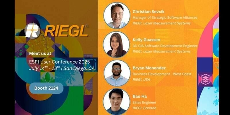
10th July 2025
RIEGL Is Exhibiting at the 2025 Esri User Conference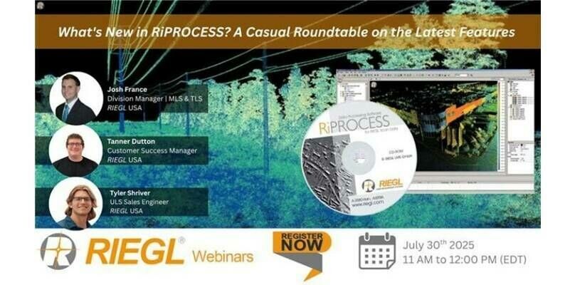
3rd July 2025
RIEGL Webinar Announcement: What’s New in RiPROCESS? A Casual Roundtable on the Latest Features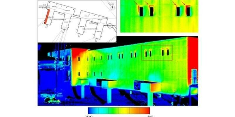
24th June 2025
RIEGL LiDAR Technology Utilized in U.S. Antarctic Research Projects to Support Thermographic Analysis
10th June 2025
Reality Captured: RIEGL Showcases the Future of 3D Innovation at R-CON Orlando
29th May 2025
RIEGL Honored with Innovation Vanguard Award for Payload Technology by Inside Unmanned Systems at AUVSI XPONENTIAL 2025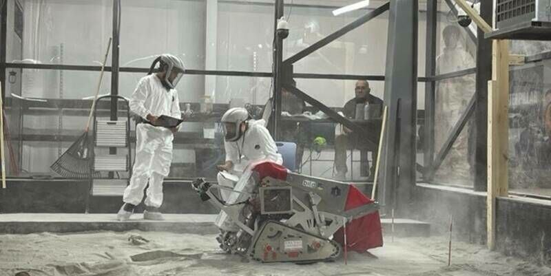
12th May 2025
To the Moon and Beyond: RIEGL USA, Allen & Company, NASA, and UCF Team Up for the Second Year in the 2025 Lunabotics Challenge
7th May 2025
RIEGL Webinar Announcement: RIEGL MLS Workflow Updates and Training Tips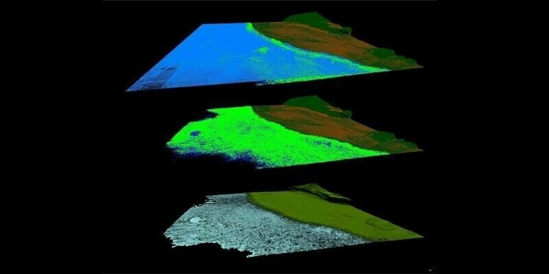
1st May 2025
Protecting the Unseen: Non-Invasive Seabed and Coral Reef Mapping with RIEGL Aerial Bathymetric LiDAR
15th April 2025
Field Geospatial Enhances Global Leadership with Cutting-Edge RIEGL Mobile Mapping Technology in the Nordic Regions
24th March 2025
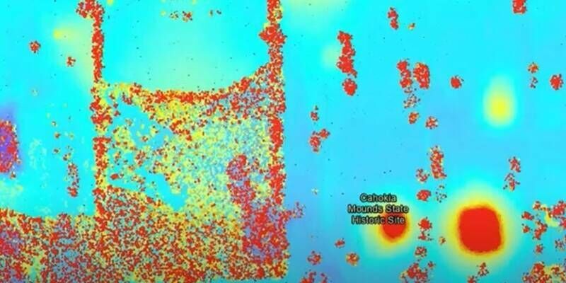
RIEGL’s Cutting-Edge Technology Unveils Ancient Secrets at Cahokia Mounds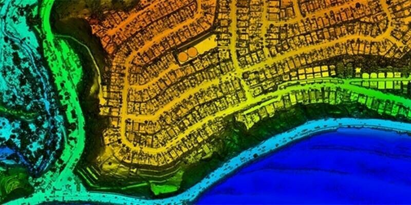
10th March 2025
NV5 Geospatial and USGS Release High-Resolution LiDAR Data of Palisades and Eaton Fire Burn Areas Collected with RIEGL Technology
27th February 2025
Eagle Mapping Celebrates 40 Years in Business and Acquires 10th RIEGL Sensor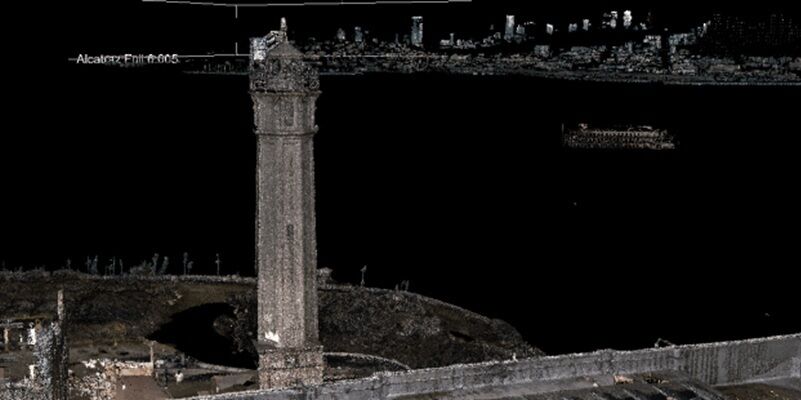
23rd February 2025
RIEGL Technology Unveils Stunning LiDAR Expedition of Alcatraz at Geo Week 2025
21st February 2025
Aero-Graphics Enhances Capabilities with Acquisition of RIEGL’s Latest VQ-1560 III-S Airborne Laser Scanner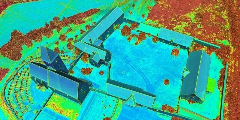
13th February 2025
RIEGL @ AUVSI XPONENTIAL Europe in Düsseldorf, Germany
11th February 2025
RIEGL UK to host Heritage Geospatial Symposium in York
14th January 2025
RIEGL USA to Participate in a Plenary Panel at GeoBuiz 2025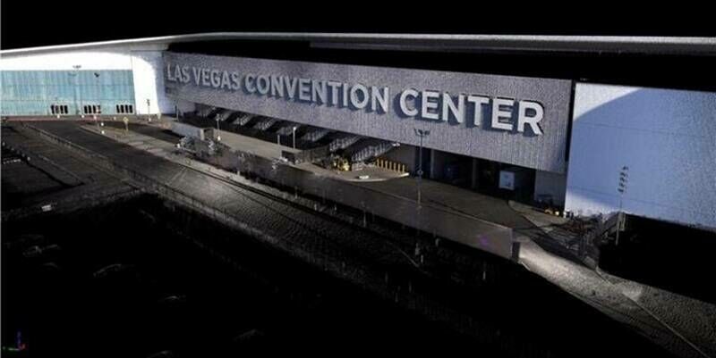
9th January 2025
RIEGL USA to Exhibit Cutting-Edge LiDAR Technology at CES 2025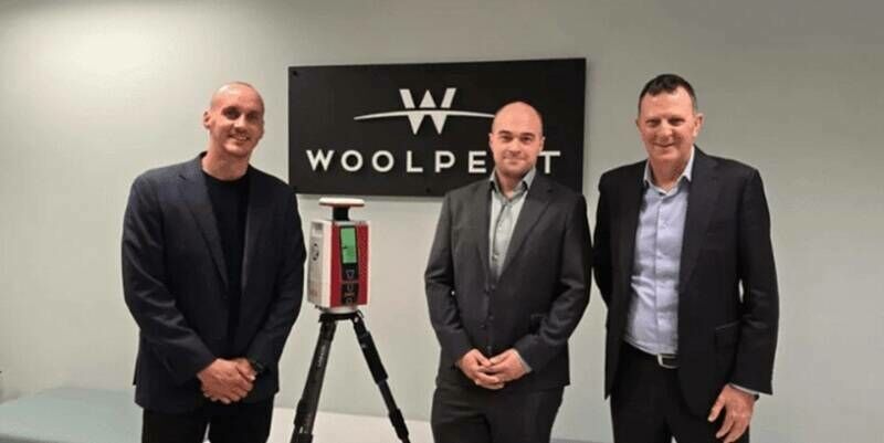
12th December 2024
Woolpert Australia Enhances Their Survey Suite with RIEGL’s VZ-600i Laser Scanning Technology
6th December 2024
RIEGL LiDAR Technology for BIM and AEC Applications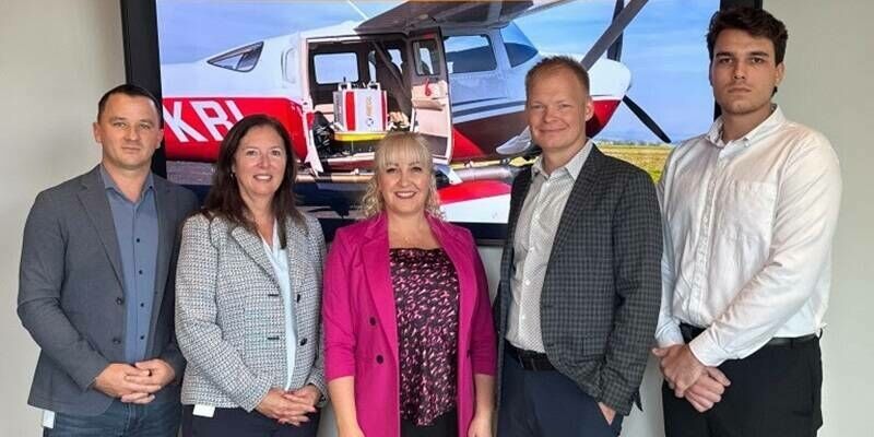
20th November 2024
Avior Geospatial Enhances Capabilities with the Addition of A RIEGL VQ-1560 II-S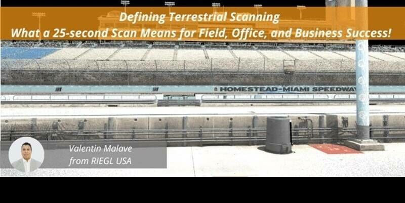
18th November 2024
Recording Available Now for the RIEGL Ultimate LiDAR November Webinar
28th October 2024
Volcano Watch – First light and flight for the Hawaiian Volcano Observatory’s (HVO) new RIEGL airborne LiDAR system
17th October 2024
October Webinar with Highlights from INTERGEO 2024 is Now Available
25th September 2024
Digitize the World - Fast. Precise. Efficient.
23rd September 2024
RIEGL Presentations & Co-Exhibitors During INTERGEO 2024 – See you in Stuttgart!
30th August 2024
Viva Las Vegas! RIEGL is Exhibiting at Commercial UAV 2024
26th August 2024
Advanced LiDAR Technology for Sustainable Development and Environmental Stewardship
22nd July 2024
RIEGL miniVUX-3UAV with RiLOC-E: Series Production Started
16th July 2024
Riegl Is Exhibiting At The 2024 Esri User Conference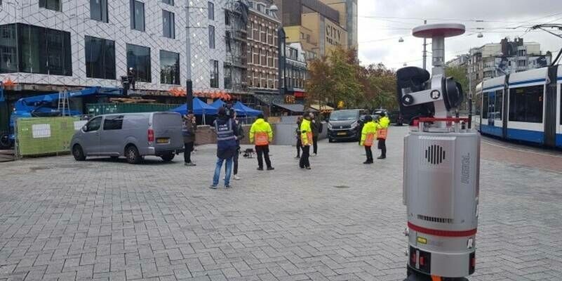
26th June 2024
Lights, Camera, Action: Leap3D and the RIEGL VZ-400i for the Visual Effects (VFX) Industry
24th April 2024
RIEGL Webinar Announcement: An Amazing LiDAR Expedition to Alcatraz – Through the Eyes of RIEGL Technology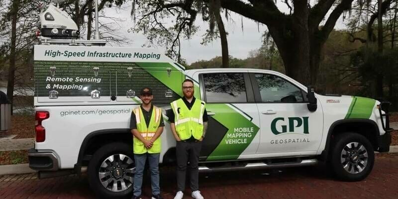
3rd April 2024
GPI Geospatial Enhancing Mobile Mapping with RIEGL LiDAR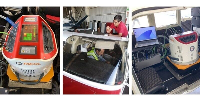
19th March 2024
CartoData Receives the First North American Delivery of a RIEGL VQ-1460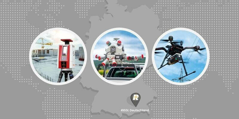
18th March 2024
RIEGL Announces the Opening of a New International Office in Munich, Germany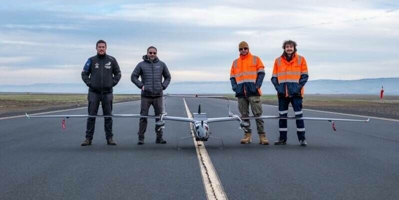
11th March 2024
Carbonix, RIEGL, Phase One announce first fixed-wing VTOL integration of long-range dual sensor System
5th November 2021
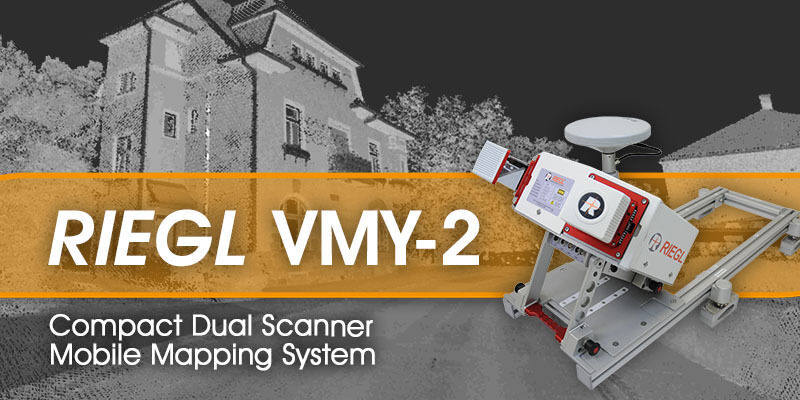
RIEGL - VMY-2 Dual Scanner Mobile Mapping System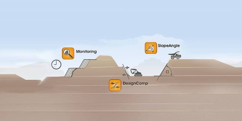
2nd December 2020
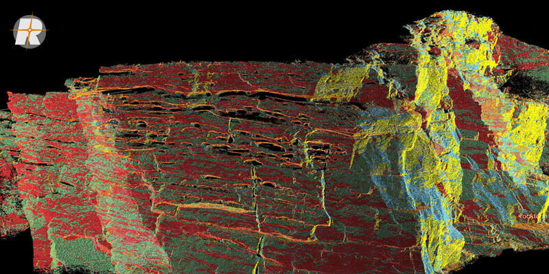
Surface Extraction and Analysis from RIEGL Laser Scan Data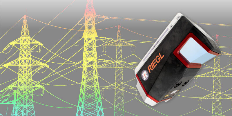
29th October 2020
RIEGL VUX-120 UAV LiDAR Sensor for Corridor Mapping