Share
5,250 scan positions recorded at Leeds football ground using RIEGL terrestrial laser scanning technology.
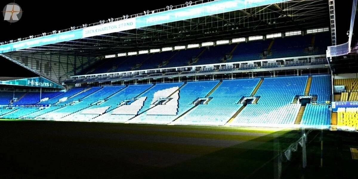
A major LiDAR survey of Elland Road Stadium, home of Leeds United Football Club, has been carried out as part of planned redevelopment and expansion works.
Survey Hub, using RIEGL UK equipment, worked around live events and short access windows to record 5,250 scan positions across the interior and exterior of all stands.
Survey Hub combined RIEGL terrestrial scan data with NavVis VLX walkthrough data and drone-derived point clouds to create a 3D Revit model supporting planning and design.
RIEGL VZ-600i Enables High-Density, Multi-Session Stadium Capture
The RIEGL VZ-600i enabled efficient capture of the stadium’s seating tiers, concourses and structural elements while ensuring scans remained aligned between sessions.
Dave Foster, Managing Director of RIEGL UK Ltd, said: “Large, operational venues demand rapid acquisition without compromising accuracy.
“The VZ-600i enables rapid coverage while maintaining up to 3 mm positional accuracy across ranges from tight interiors to long external sightlines.
“Its open, interoperable platform also supports seamless integration with mobile and aerial workflows, which is essential on complex, multi-method projects.”
Read more about the project and proposed redevelopment plans.
link: www.riegl.com/en-uk
Subscribe to our newsletter
Stay updated on the latest technology, innovation product arrivals and exciting offers to your inbox.
Newsletter

