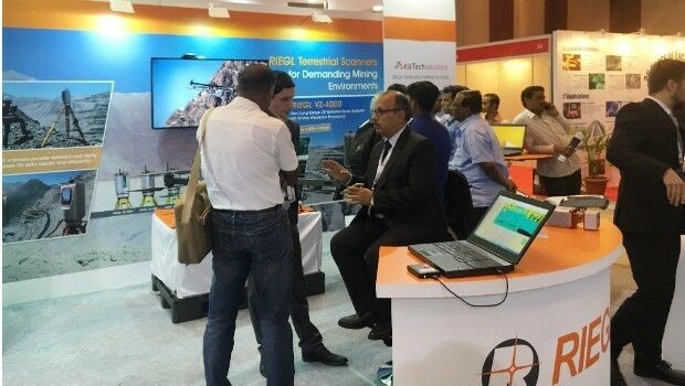
RIEGL’s Notable Week at Geospatial World Forum 2017!
30th January 2017
RIEGL’s Notable Week at Geospatial World Forum 2017!
RIEGL is an international leading provider of cutting-edge technology in airborne, mobile, terrestrial, bathymetric, industrial and UAV-based laser scanning for applications in surveying.
RIEGL has been producing LiDAR systems commercially for more than 40 years and focuses on pulsed time-of-flight laser radar technology in multiple wavelengths.
RIEGL’s core Smart-Waveform technologies provide pure digital LiDAR signal processing, unique methodologies for resolving range ambiguities, multiple targets per laser shots, optimum distribution of measurements, calibrated amplitudes and reflectance estimates, as well as the seamless integration and calibration of systems.
RIEGL’s Ultimate LiDARTM 3D scanners and systems offer a wide array of performance characteristics and serve as a platform for continuing Innovation in 3D for the LiDAR industry.
http://www.riegl.com
+43 2982 4211
3580 Horn, Austria
1978
Terrestrial Surveying
Laser Scanning
Unmanned Aerial Vehicles
Surveying Instrumentation
Mobile Mapping
Archaeology & Heritage
Mining
Forestry
Disaster Management
Architecture, Engineering & Construction (AEC)

30th January 2017
RIEGL’s Notable Week at Geospatial World Forum 2017!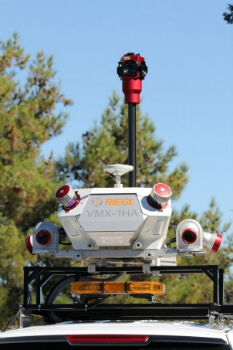
12th January 2017
Caltrans Takes Delivery of the RIEGL VMX-1HA5th October 2016
RIEGL to Exhibit and Present at INTERGEO 2016!
5th November 2021
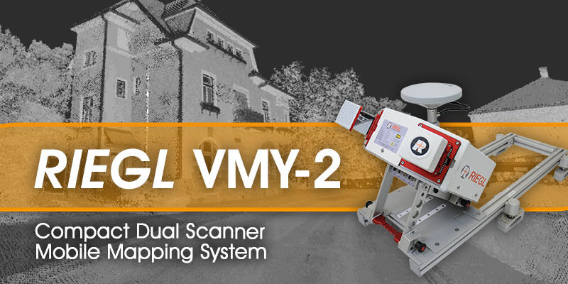
RIEGL - VMY-2 Dual Scanner Mobile Mapping System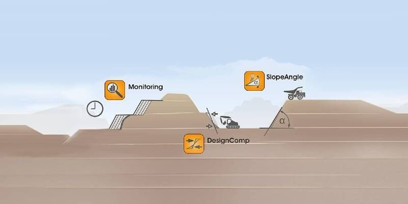
2nd December 2020
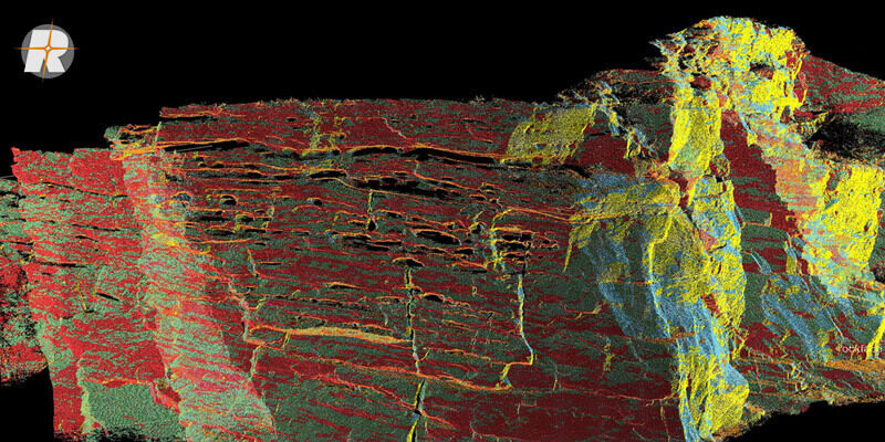
Surface Extraction and Analysis from RIEGL Laser Scan Data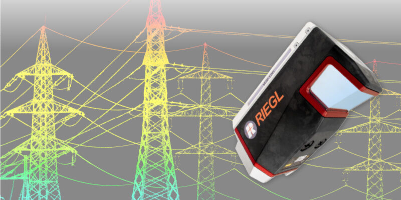
29th October 2020
RIEGL VUX-120 UAV LiDAR Sensor for Corridor Mapping