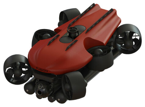
Enabling a breakthrough in hybrid underwater vehicles
2nd February 2017
Enabling a breakthrough in hybrid underwater vehiclesThe 2D and 3D measurement of points, distances and angles of features and objects on the Earth’s surface. See also Surveying Instrumentation topic. This topic covers the science and techniques that govern the 2D and 3D measurement of points, distances and angles of natural and man-made features and objects on the Earth’s surface. These measurements are acquired for a wide range of practical applications in construction, engineering, land use planning, mapmaking and cadastral projects, See also Surveying Instrumentation topic for the various tools employed to acquire survey measurements.
2nd February 2017
Enabling a breakthrough in hybrid underwater vehicles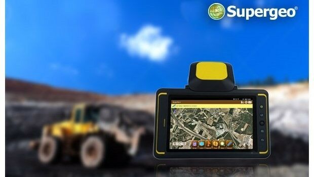
2nd February 2017
Indonesian Mining Company Adaro Selects SuperSurv31st January 2017
Popular Line of Miniature Inertial Sensors from SBG Systems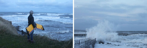
31st January 2017
A Case Study on Long-Term Erosion Mapping in Northeast England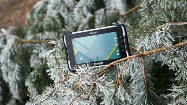
31st January 2017
ALGIZ RT7 ultra-rugged tablet now with Android 6.0 and 2 GB of RAM
31st January 2017
Successful Ground Trials of Volcanic Ash Detection31st January 2017
Blue Marble Teams Up with Pointerra to Provide Cloud-Based LiDAR Data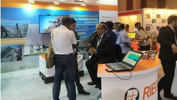
30th January 2017
RIEGL’s Notable Week at Geospatial World Forum 2017!28th January 2017
New High Performance Chirp Side Scan Sonar System27th January 2017
Terra Drone establish new branch in Australia, Brisbane.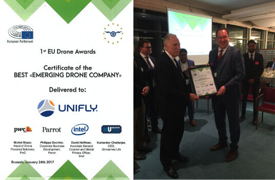
27th January 2017
UNIFLY Winner of Best Emerging EU Drone Company

25th January 2017
Abstract Submissions Invited for GIS-Pro 2017 in Jacksonville, Florida
25th January 2017
IMCA Guidance Demonstrates the Strength of Working Together.jpg)
24th January 2017
Bluesky Announces 2017 Flying Plans for Ireland
24th January 2017
3D Repo BIM App Helps Crossrail Digitally Manage Assets20th January 2017
Seabed Geosolutions Mobilises For OBN Survey In West Africa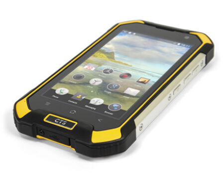
19th January 2017
New CT5 Rugged Smartphone Launched from Cedar by Juniper Systems18th January 2017
RICS Geomatics Evening Lectures 2016-17 sessions17th January 2017
GSSI LineTrac™ to Detect AC Power and RF Energy in Conduits17th January 2017
The new FARO® FocusM 70 Laser Scanner Sets New Standards17th January 2017
FREQUENTIS’ location information supports NASA UAS test in Nevada17th January 2017
GeoMax names Gottlieb Nestle GmbH master dealer
17th January 2017
Fugro Attains Authorised Economic Operator Status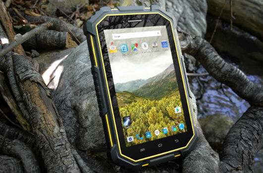
17th January 2017
Juniper Systems Launches New CT7G Rugged Tablet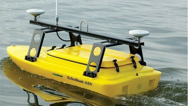
17th January 2017
Seafloor's Dockside Demo at Ocean Business '17, Southampton: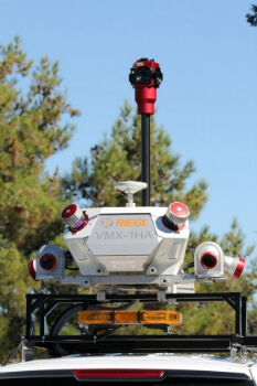
12th January 2017
Caltrans Takes Delivery of the RIEGL VMX-1HA
5th January 2017
DMT contracted for 3D seismic survey in Landau
5th January 2017
Michigan DOT Enhancing Roadway Maintenance Through Continuing Surveys
5th January 2017
Oman’s Public Authority for Civil Aviation supports Drones Workshop
28th December 2016
Collaboration on Miniature Hyperspectral Ultraspectral Camera System22nd December 2016
Hemisphere GNSS Announces Management Changes16th December 2016
Geneq inc. has announced the SXPad 1000P16th December 2016
GSSI Student Grant winners to be Honoured at AGU Fall Meeting14th December 2016
Sercel Sell Four 508XT Acquisition Systems to Indian Seismic Companies14th December 2016
Septentrio Provides Low-Power Embedded GNSS for Xeos Technologies13th December 2016
Septentrio PolaRx5 GNSS receivers for volcano monitoring8th December 2016
Seismic monitoring and advanced CORS features on PolaRx5 product line.7th December 2016
New Zealand Earthquake sees deployment of Fugro’s Airborne Technology
6th December 2016
Topcon announces next generation of online support and training6th December 2016
CSA and NOAA Case Study on Oil Spill Effects on Seagrass5th December 2016
SP80 GNSS Receivers Increase Water Pipeline Survey Efficiency by 160%