
European Consortium Demonstrates new Internet-of-Things Platform
6th October 2017
European Consortium Demonstrates new Internet-of-Things PlatformThe 2D and 3D measurement of points, distances and angles of features and objects on the Earth’s surface. See also Surveying Instrumentation topic. This topic covers the science and techniques that govern the 2D and 3D measurement of points, distances and angles of natural and man-made features and objects on the Earth’s surface. These measurements are acquired for a wide range of practical applications in construction, engineering, land use planning, mapmaking and cadastral projects, See also Surveying Instrumentation topic for the various tools employed to acquire survey measurements.
6th October 2017
European Consortium Demonstrates new Internet-of-Things Platform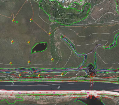
6th October 2017
Col-East Taps Extensive Image Archive to Create Multi-Function Maps
5th October 2017
Geosoft and AcornSI move UXO classification to the cloud

5th October 2017
Commercial UAV Expo to include Workshops/Demos/Training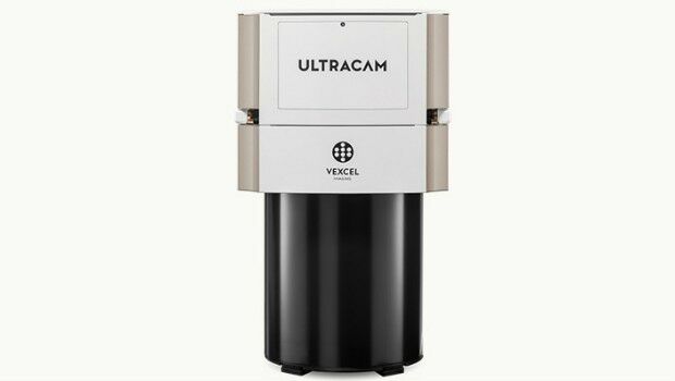
4th October 2017
Vexcel Imaging introduces the new UltraCam Eagle Mark 3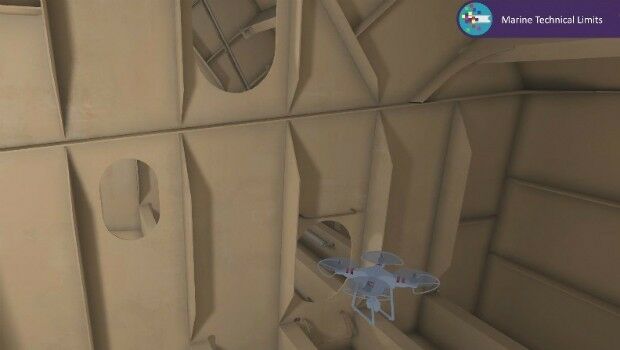
4th October 2017
Bureau Veritas joins the RECOMMS drones project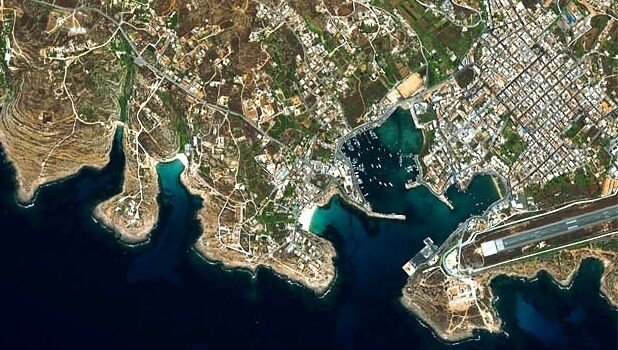
3rd October 2017
Satellite Images show Europe's diversity in new book
2nd October 2017
Drone Major Group - launches today to provide global connectivity
2nd October 2017
LAStools Win Big at INTERGEO Taking Home Two Innovation Awards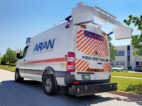
30th September 2017
Fugro Wins Highway Data Collection Contract for The State Of Alaska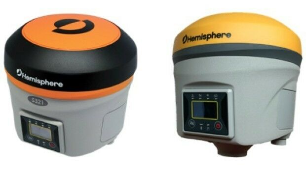
28th September 2017
Hemisphere GNSS Debuts Next-Generation S321+ and C321+ GNSS Smart Antennas27th September 2017
Simplified Map Production from UAVs, from Trimble GNSS Base Station.jpg)
27th September 2017
First true tilt compensation GNSS is next Leica Captivate Experience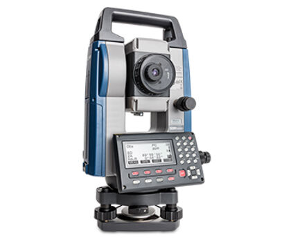
27th September 2017
Sokkia introduces new manual total station with sophisticated features26th September 2017
ArcGIS Pro Users 'Finding the Best Place for a Public Park'26th September 2017
Commercial UAV Expo Europe Moves to Amsterdam in April, 2018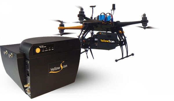
26th September 2017
YellowScan & Quantum Systems partnership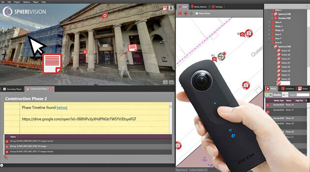
26th September 2017
New SphereVision 360 Imaging System Launched at Intergeo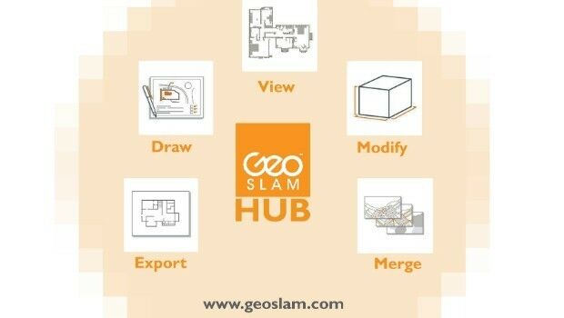
25th September 2017
New Product Launches At Intergeo From GeoSLAM
22nd September 2017
Real-Time Construction Quality Management, Advanced
21st September 2017
senseFly to launch industry-specific solutions at INTERGEO 201721st September 2017
LizardTech Awarded U.S. Patent for LiDAR Point Cloud Compression
21st September 2017
Wingtra partners with Kentucky-based Precision Capture21st September 2017
Juniper Systems Limited Eyes German Market with InterGeo 2017 Exhibit
20th September 2017
River Thames simulation supports safer navigation for Tideway20th September 2017
Phase One Industrial Introduces 190MP Aerial System
19th September 2017
Pointfuse V3 Launch Offer Appeals to Twitter Users
15th September 2017
Fugro Establishes Hydrography Centre of Excellence in Houston15th September 2017
Unmanned Systems industry leaders are gathering in Odense

15th September 2017
KOREC expansion strengthens its commitment to customer service
15th September 2017
VolkerWessels to Use Yotta’s Horizons on Dutch Infrastructure Project
14th September 2017
Skyfront Sets World Record for Drones with 4 hour and 34 minute flight
12th September 2017
Carl Pulfrich Award 2017 goes to Prof. Dr. Franz Rottensteiner
11th September 2017
Arithmetica Announces New Pointfuse License Options

7th September 2017
Handheld launches blog at ruggedinformer.com7th September 2017
Locating Bahrain’s Underground Utilities5th September 2017
Second Lockheed Martin GPS III Satellite Successfully Completes Test
1st September 2017
NPL 322+ New Reflectorless and Prism-only Total Station
1st September 2017
Drones and Pix4D drone mapping software saving time and money
31st August 2017
Record six months for GeoSLAM thanks to boom in "Digital Engineering"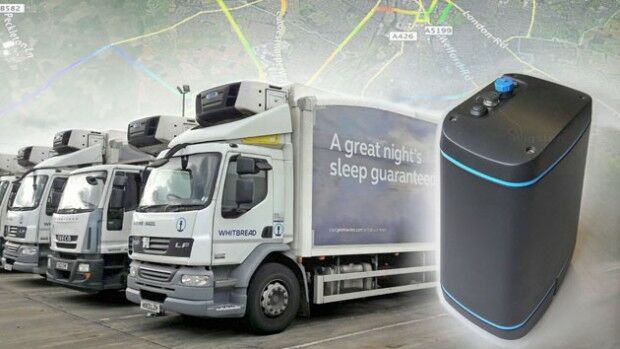
31st August 2017
EarthSense to Provide Real Time Air Quality Monitoring for Low Emission Lorry Trial