Spirent Sim3D Shows the Way Ahead for Realistic Multipath Simulation
30th August 2019
Spirent Sim3D Shows the Way Ahead for Realistic Multipath Simulation30th August 2019
Spirent Sim3D Shows the Way Ahead for Realistic Multipath Simulation26th August 2019
Michael Horne Joins Swift Navigation as Executive Vice President of Worldwide Sales1st August 2019
Swift Navigation Expands Skylark Precise Positioning for Autonomous Vehicles
1st August 2019
Terra Drone Europe conducts oil rig platform survey and 3D modeling for Shell25th July 2019
SoundHound Inc. Integrates HERE Mapping and Location Data i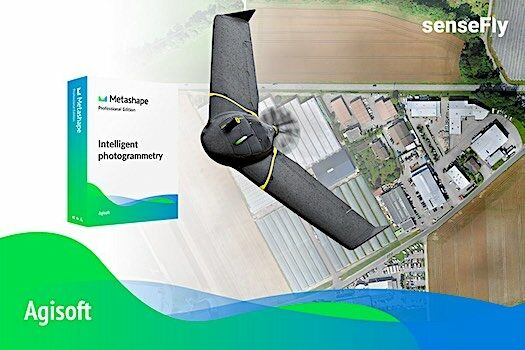
25th July 2019
Introducing the senseFly eBee X with Agisoft Metashape
25th July 2019
Orbit GT launches 3D Mapping portfolio v19.7 with new website
25th July 2019
Visiontrack recuits European Sales Director25th July 2019
2019 URISA Exemplary Systems in Government Award Recipients Announced
24th July 2019
Yanmar Demonstrates Autonomous Tractors Using Precision Positioning
24th July 2019
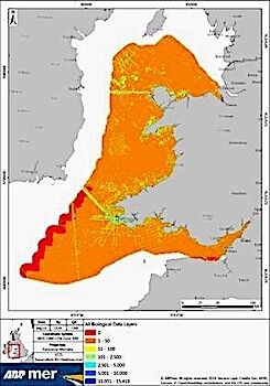
ABPmer to deliver Sustainable Management of Marine Natural Resources
23rd July 2019
Terra Drone Brazil complete Brazil’s first FPSO tank inspection
23rd July 2019
Satellite Imagery: Captured British Oil Tanker
23rd July 2019
QuickSwitch® Recognised for Excellence in Sensors Innovation23rd July 2019
Master Class 4: Vertical Mobility in Urban Environments23rd July 2019
OGC and RTCA Announce Signing of Memorandum of Understanding22nd July 2019
Wheeler Financial from Pitney Bowes Helps Ghilotti Bros Inc
22nd July 2019
Pitney Bowes Named to Forbes Magazine List of America's Best Employers21st July 2019
Surveying Firm Highly Commended at Prestigious National Construction Awards20th July 2019
2019 EuroSDR Award for the best PhD thesis
19th July 2019
BWA-CAM 20/20 - The World‘s First ‘Plug-and-Play‘ Solution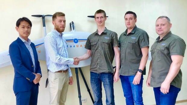
19th July 2019
Japan’s Terra Drone gains footing in Central Asia17th July 2019
Planners Can Earn Ample CM Credits at GIS-Pro 201917th July 2019
Safety Management Systems within the Pipeline & Utilities Industries17th July 2019
TDI-Brooks International, Inc. hires Mrs. Jayme McBee17th July 2019
Septentrio strengthens GNSS/INS portfolio with a single antenna receiver15th July 2019
RIEGL Invests in New Office and Production Facilities!15th July 2019
Europa Technologies strikes gold with two awards at Esri User Conference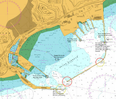
15th July 2019
Goonhilly opens new data centre with green HPC platform for AI and ML
13th July 2019
GSSI Receives Presidential Award for Exports
12th July 2019
high performance UX11 & UX11 Ag surveying and mapping drones11th July 2019
Ecometrica Manager wins BusinessGreen Leaders Award
11th July 2019
Fugro succeeds with new seep survey license sales offshore Newfoundland11th July 2019
Save the Date ! Webinar July 18 at 6 PM CET
11th July 2019
Seequent continues investment in innovative geoscience technology10th July 2019
Trimble announces new usage-based plans for Trimble Catalyst9th July 2019
Ordnance Survey creates ‘win-win’ for construction and geospatial industries8th July 2019
Second Lockheed Martin-Built GPS III Satellite Ready for July 25 Liftoff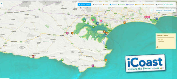
8th July 2019
OceanWise technical expertise boosts iCoast re-launch3rd July 2019
Modulus adds new features to its submersible GPS Receiver3rd July 2019
GeoCalc SDK 7.5 Released with an Expanded Geodetic Database