
Viametris is launching the second-generation version of the vMS30
1st July 2019
Viametris is launching the second-generation version of the vMS30
1st July 2019
Viametris is launching the second-generation version of the vMS30
28th June 2019
DLR GfR and Thales Alenia Space sign Galileo framework agreement26th June 2019
Geospatially Optimized Digital Asset Management Solution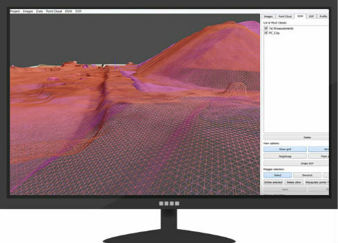
26th June 2019
drone analytics with Terra Mapper data processing software
25th June 2019
Highest level of precision with the new Airbus Ground Control Points21st June 2019
First Galileo Batch-3-Payload “Patrick” reaches OHB19th June 2019
First dev-kits available for mosaic GNSS module11th June 2019
Lockheed Martin Delivers GPS III Contingency Operations (COps) Ground System Upgrade4th June 2019
SimActive Releases Version 8.2 for Processing of Multispectral Imagery
31st May 2019
UK Hydrographic Office appoints Chief Executive
31st May 2019
Envitia Selected by US Army Geospatial Center31st May 2019
Garmin adds latest FIS-B weather products to the GTN 650/750 series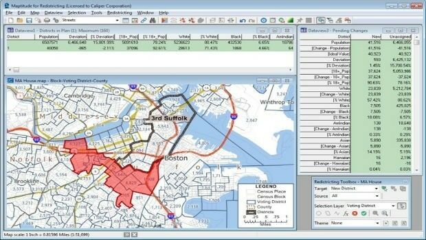
31st May 2019
Learn More About Maptitude for Redistricting at the NCSL
30th May 2019
Ancient Landforms of the Australian Rainforest Revealed by Airborne LiDAR30th May 2019
Speedy asset services extends Visiontrack video telematics solution30th May 2019
New Globalstar Satellite IoT Solution Safeguarding Reindeer in Nordics
30th May 2019
Airbus wins three satellite deal from Inmarsat for revolutionary spacecraft30th May 2019
Garmin receives approval for the GFC 600 autopilot in the Cessna 208/208B29th May 2019
Exclusive autonomous driving demo at TU-Automotive in Detroit
29th May 2019
HERE Technologies Joins the MuleSoft Technology Partner Program
29th May 2019
Nortek opens Australian office to build on regional demand
29th May 2019
Leica Geosystems opens nominations for Carl Pulfrich Award 2019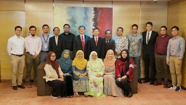
29th May 2019
CGG GeoSoftware Donates Geoscience Software Suite
28th May 2019
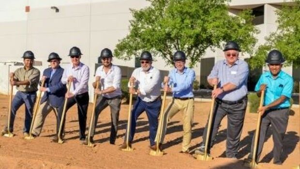
New Production Facility for Detectors in the USA
28th May 2019
Sercel Delivers Five 508XT Acquisition Systems to ONGC in India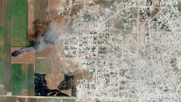
28th May 2019
Satellite Imagery: Syrian Government Offensive in Idlib Province, Syria28th May 2019
HERE Technologies joins the Uptane Alliance28th May 2019
Parrot drones selected by U.S. Department of Defense
28th May 2019
Ecometrica Uses Drones to Map Vegetation in Scottish Forests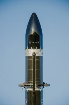
27th May 2019
Kleos Satellites Launch Window Confirmed – August Lift-off24th May 2019
Extensis to Cameo Digital Asset Management Solution
24th May 2019
Winner Announced in Younger Geospatial Professional of the Year Award
23rd May 2019
Likely Russian Bombers Intercepted Near Alaska23rd May 2019
u-blox announces Markus Schaefer as new Executive Director23rd May 2019
GIS-Pro 2019 Student and Young Professional Opportunities Announced
23rd May 2019
Topcon announces advanced Bentley integration
23rd May 2019
Descartes Labs to Demonstrate Global-Scale Predictive Intelligence22nd May 2019
Industry Players Announce London Geospatial Week for 2020
22nd May 2019
Leica BLK360 software integration announcement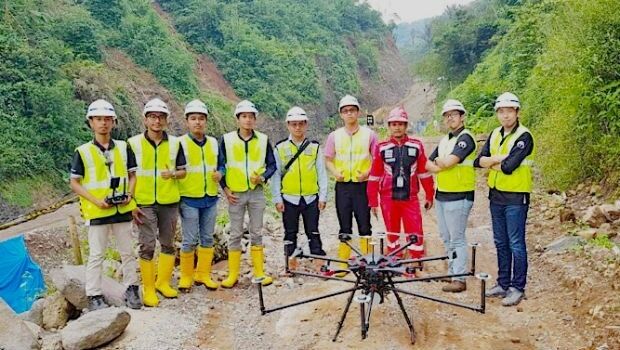
22nd May 2019
Terra Drone Indonesia shows construction companies benefits
22nd May 2019
Mapillary announces the world's first demand-driven marketplace for map data
21st May 2019
Trimble Releases Next-Generation Integrated Smartphone and GIS Data Collector