Airbus and Scanex to feed Russia’s most popular search engine Yandex
26th May 2017
Airbus and Scanex to feed Russia’s most popular search engine Yandex26th May 2017
Airbus and Scanex to feed Russia’s most popular search engine Yandex
26th May 2017
The Geological Remote Sensing Group Makes 2017 Student Awards.jpg)
26th May 2017
New Sustainable Smart Cities Hub for Market Insights & Opportunity
25th May 2017
Leica iCON excavate systems now support SVAB MACS control system.jpg)
24th May 2017
Airbus further extends channel partner programme24th May 2017
Gartner Supply Chain Executive Conference 201724th May 2017
Gartner Supply Chain Executive Conference 2017
23rd May 2017
CyArk and FARO partner to save heritage in 3D22nd May 2017
HERE shines in Ovum Location Platform Index
19th May 2017
PDF3D Release 3D PDF Conversion Plugin for ParaView 5.3 Users
19th May 2017
Consultancy Supports Large Scale Developments In Amsterdam

19th May 2017
Cityworks and SeeClickFix Help Westland, MI Connect with Citizens
18th May 2017
GeoSLAM Expands Far East Operations With New Distributors
18th May 2017
Satlab announces SLX-1 Multi-application Receiver Mobile Upgrade![Drones are here to stay. [Get up to speed 20-22 June, Brussels.] (from import)](https://static.geoconnexion.com/uploads/images/_AUTOxAUTO_fit_center-center_80_none/import-temp_file_UAV_Brussells_Banner1.jpg)
18th May 2017
Drones are here to stay. [Get up to speed 20-22 June, Brussels.]
18th May 2017
Opel / Vauxhall and Masternaut announce exclusive partnership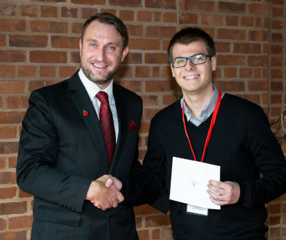
18th May 2017
Survey Association Bursary builds bright future for Geomatics students18th May 2017
Esri Brings The Science of Where to the 2017 Digital Enterprise Show18th May 2017
Esri Showcases Insights for ArcGIS at SAPPHIRE NOW18th May 2017
Orbit GT and MeaTech, India, sign Reseller Agreement
18th May 2017
Garmin® Head-up Display (GHD) system for integrated flight decks
17th May 2017
Latest SuperSurv 3.3 Offers More than Bug Fixes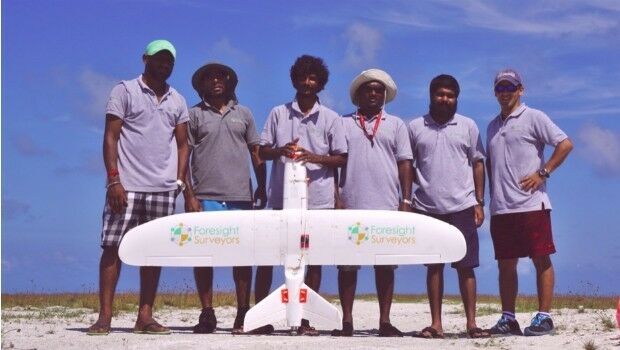
17th May 2017
Aeromapper Talon Surveys A Whole Maldives Island In A Single Flight
17th May 2017
Eni to utilize Earth Observation satellite data and services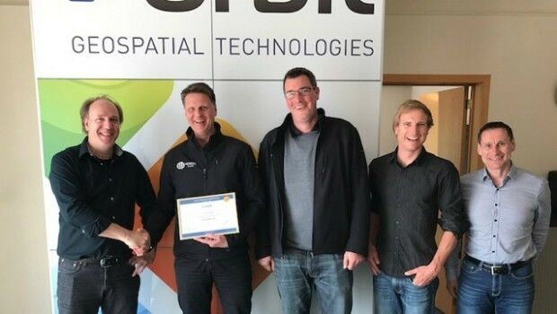
17th May 2017
Orbit GT and Vexcel Imaging, Austria update Gold Reseller status17th May 2017
Space Flight Laboratory (SFL) Signs Contract with Dubai Space Centre
17th May 2017
Commercial UAV Expo Europe announces drone conference programme
17th May 2017
Further Democratize GeoData and GeoServices Use for R&D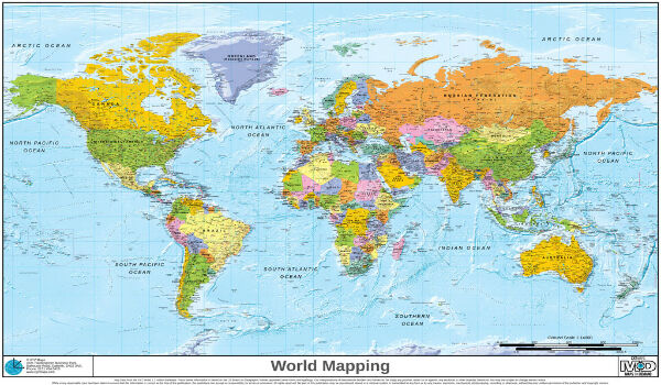
16th May 2017
EUMETSAT to host information day on crucial data access procurement
16th May 2017
NM Group assist Hydro One to develop LiDAR strate16th May 2017
Rwanda Government pioneers Smart City Innovation with SRG and Nokia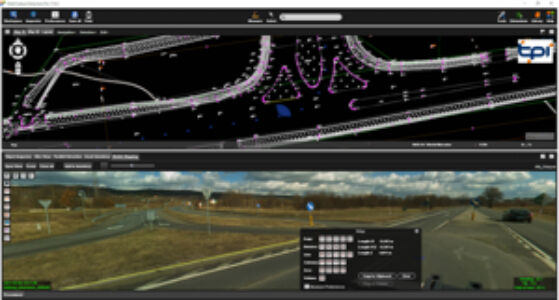
16th May 2017
Orbit GT and TPI, Poland update Gold Reseller status
15th May 2017
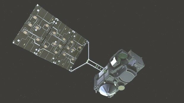
New satellite hub lays groundwork for the future
15th May 2017
Icaros Releases Ver 5.0 of OneButton™ Drone Image Processing Software
15th May 2017
GEO Business previews its exhibitor show highlights for 2017
15th May 2017
1Spatial releases dates for exciting FME World Tour, courses, webinars
15th May 2017
AeroScientific Picture of the Month May 2017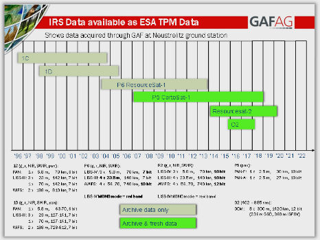
15th May 2017
IRS data now available free of charge to scientific users