
Satellite Positioning, Navigation & Timing (PNT)
Don't miss a beat, sign up to our newsletter

Springfield, Illinois, Maximizes Efficiency with Cityworks ELA
5th May 2017
Springfield, Illinois, Maximizes Efficiency with Cityworks ELA
Save €225! Early-bird pricing ends tomorrow
4th May 2017
Save €225! Early-bird pricing ends tomorrow
Hydrographic Surveys To Improve Maritime Safety In Papua New Guinea
4th May 2017
Hydrographic Surveys To Improve Maritime Safety In Papua New Guinea
Mesa 2 Rugged Tablet Now Runs on Android OS
4th May 2017
Mesa 2 Rugged Tablet Now Runs on Android OS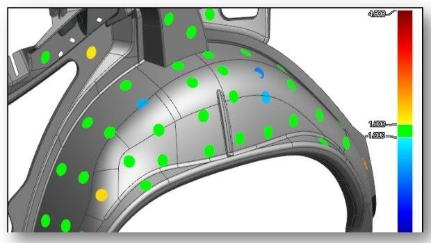
37th EARSeL Symposium - Prague, Czech Republic in June 27-30, 2017.
4th May 2017
37th EARSeL Symposium - Prague, Czech Republic in June 27-30, 2017.
HERE placed at the core of connected services for drivers
3rd May 2017
HERE placed at the core of connected services for drivers

A Triumph of Keynote Lectures to delve into Space Exploration
3rd May 2017
A Triumph of Keynote Lectures to delve into Space Exploration
Harvard Seeking Submissions for “Map of the Month” Contest
3rd May 2017
Harvard Seeking Submissions for “Map of the Month” Contest
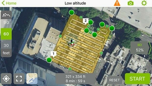
senseFly Corridor solution boosts linear mapping projects efficiency
3rd May 2017
senseFly Corridor solution boosts linear mapping projects efficiency
PMeV elects Frequentis Director as new executive board member
3rd May 2017
PMeV elects Frequentis Director as new executive board member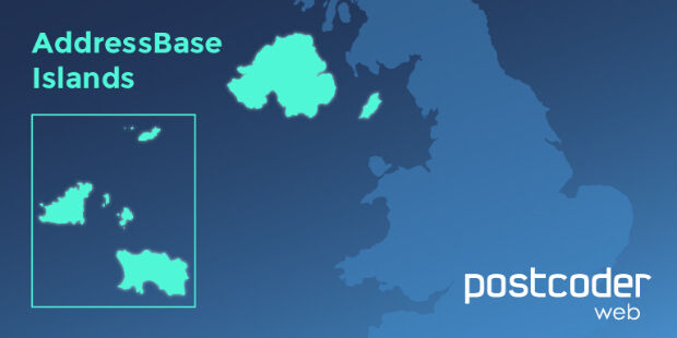
Allies strengthens PostCoder with AddressBase Islands
3rd May 2017
Allies strengthens PostCoder with AddressBase Islands
Global Mapper and Geographic Calculator Free Academic License Program
3rd May 2017
Global Mapper and Geographic Calculator Free Academic License Program

Pix4Dmapper 3.2 Now Generates Tiled Level-of-Detail (LoD) Mesh
2nd May 2017
Pix4Dmapper 3.2 Now Generates Tiled Level-of-Detail (LoD) Mesh
Valtellina Reduces Communications Network Data Production Time
2nd May 2017
Valtellina Reduces Communications Network Data Production Time
Kepler Award Nominations Now Being Accepted by ION Satellite Division
2nd May 2017
Kepler Award Nominations Now Being Accepted by ION Satellite Division
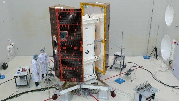
Satellite Fleet Owner Joins The Geological Remote Sensing Group
2nd May 2017
Satellite Fleet Owner Joins The Geological Remote Sensing Group

Elbit Systems of America Presents UAS Capabilities
1st May 2017
Elbit Systems of America Presents UAS Capabilities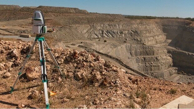
Maptek advanced modelling and analysis solutions showcased at CIM
1st May 2017
Maptek advanced modelling and analysis solutions showcased at CIM
RedZone MapT Hits #3 in First Week in London
29th April 2017
RedZone MapT Hits #3 in First Week in London
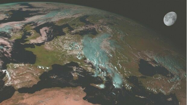
Scientists look to the Moon to better understand Earth’s climate
28th April 2017
Scientists look to the Moon to better understand Earth’s climateJOIN THE LEICA iCON BUILD WEBINAR ON 4 MAY
28th April 2017
JOIN THE LEICA iCON BUILD WEBINAR ON 4 MAY
More efficient construction management with Pix4Dbim
28th April 2017
More efficient construction management with Pix4Dbim
Juniper Systems Limited Welcomes Brian Smyth
28th April 2017
Juniper Systems Limited Welcomes Brian Smyth
Sessions & speakers announced. Knowledge gap solved.
28th April 2017
Sessions & speakers announced. Knowledge gap solved.

HERE extends partnership with Toyota in North America
27th April 2017
HERE extends partnership with Toyota in North America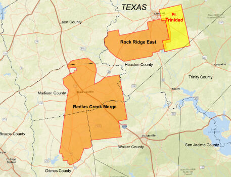
CGG Delivers Reservoir-Oriented Data for Fort Trinidad in East Texas
27th April 2017
CGG Delivers Reservoir-Oriented Data for Fort Trinidad in East Texas
CartoPac Unveils Barcode Scanner for Gas Utility Pipeline Mapping
27th April 2017
CartoPac Unveils Barcode Scanner for Gas Utility Pipeline Mapping
GAF and partners awarded contract to map European riparian zones
27th April 2017
GAF and partners awarded contract to map European riparian zones
Digpro strengthens the management team with new skills
27th April 2017
Digpro strengthens the management team with new skills
Esri's Dr. Dawn Wright to Discuss Mapping the Ocean
27th April 2017
Esri's Dr. Dawn Wright to Discuss Mapping the Ocean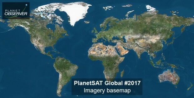
PlanetObserver announces release of PlanetSAT Global imagery basemap
27th April 2017
PlanetObserver announces release of PlanetSAT Global imagery basemap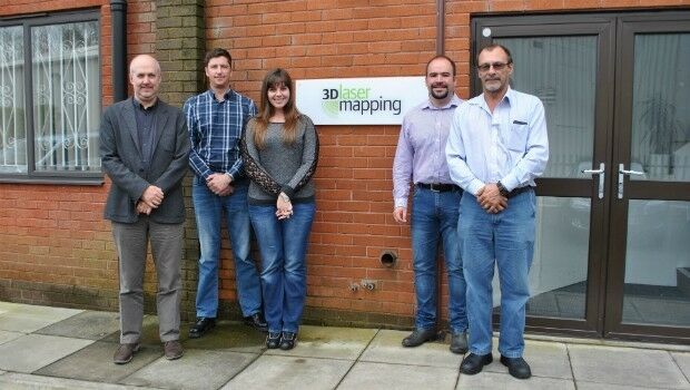
3D Laser Mapping Mines Good Fortunes in Africa
27th April 2017
3D Laser Mapping Mines Good Fortunes in Africa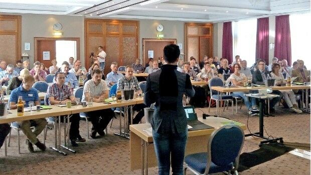
Invitations to annual technical and user conference in Essen, extended
26th April 2017
Invitations to annual technical and user conference in Essen, extended
Garmin® upgrade program for Sikorsky and Black Hawk helicopters
26th April 2017
Garmin® upgrade program for Sikorsky and Black Hawk helicopters
Maptitude Mapping Software Team Provides Awards & Prizes
26th April 2017
Maptitude Mapping Software Team Provides Awards & Prizes
Esri to Showcase Advanced Developer Tools at TechCrunch Disrupt NY
26th April 2017
Esri to Showcase Advanced Developer Tools at TechCrunch Disrupt NY