
Telogis launches Spotlight to improve vehicle health, driver behaviour
26th April 2017
Telogis launches Spotlight to improve vehicle health, driver behaviour
26th April 2017
Telogis launches Spotlight to improve vehicle health, driver behaviour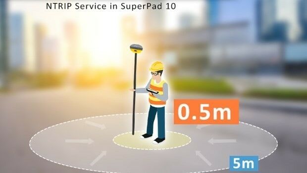
26th April 2017
Enjoying the High-Accuracy Positioning with the Latest SuperPad 10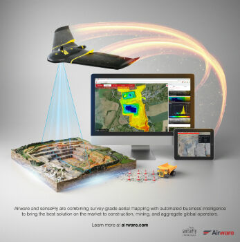
25th April 2017
Airware and senseFly Sign Global Partnership Agreement
25th April 2017
10 years of providing expertise throughout the UK by thinkWhere25th April 2017
Fugro Focuses On Technology For Offshore Operations
25th April 2017
NAUTIZ X2 All-In-One Rugged Android Handheld25th April 2017
RENEXPO® Water and Energy starts on Tuesday, April 25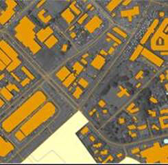
24th April 2017
East View Geospatial Announces Training Data Library
24th April 2017
GEO Business 2017 Unmissable Conference Line Up24th April 2017
Call for Proposals for GSDI Small Grants Program closes 31 May!24th April 2017
Reminder for the Open Data Questionnaire by 30 April please!24th April 2017
New release of global data suite from Europa Technologies24th April 2017
Improving the Usability of Geospatial Data
24th April 2017
Advanced Cybersecurity with Adaptive, Automated Capabilities


21st April 2017
FIG Working Week 2017 - register before the deadline 25 April
21st April 2017
Environmental Data Collection & the Need for Speed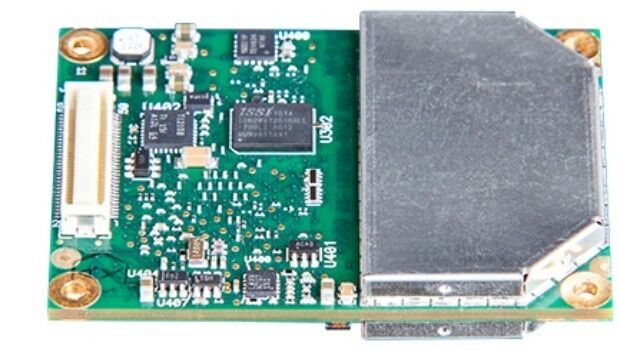
21st April 2017
New GNSS receiver boards with expanded constellation tracking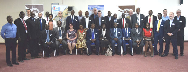
20th April 2017
Geodata access for African resource development
20th April 2017
HERE, MediaTek team up to deliver advanced global positioning solutions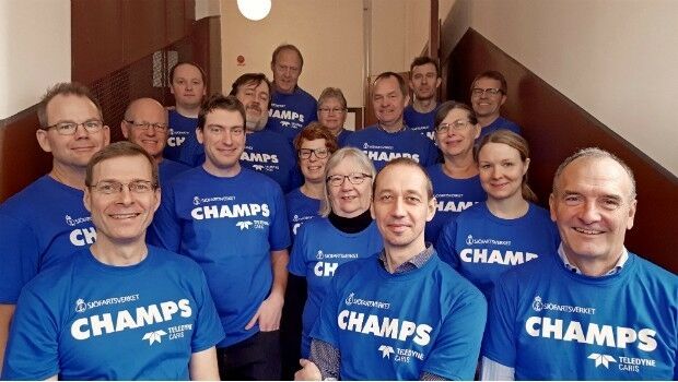
20th April 2017
CARIS Hydrographic Production Database for Swedish Maritime Admin.
19th April 2017
Space Flight Laboratory (SFL) at IAA Berlin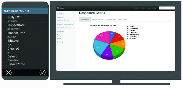
19th April 2017
K-Gully a hosted gully cleaning management system for contractors.
19th April 2017
GeoPlace annual conference – “Why I hate addresses” and all that19th April 2017
OGC seeks comment on proposed GeoScience Domain Working Group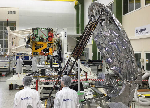
19th April 2017
EarthCARE: Japanese Cloud Radar meets its spacecraft for first time
19th April 2017
Autonomous Vehicles – have we reached the end of the road?
19th April 2017
MNSAT: IFGICT to work with KSF Space Mapping to protect environment19th April 2017
Blue Marble Releases Geographic Calculator 2017

18th April 2017
Mike Osborne Wins AMSI Council Business Person of the Year 2017 Award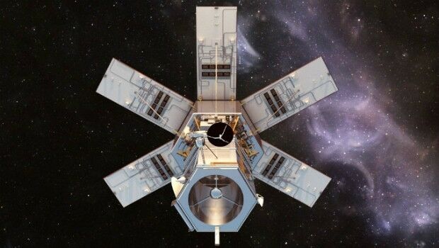
18th April 2017
Distribution of WorldView-4 satellite imagery in Europe begins18th April 2017
Trumbull Unmanned Using SimActive for Emergency Response
18th April 2017
USGIF Confirms Keynotes for the GEOINT 2017 Symposium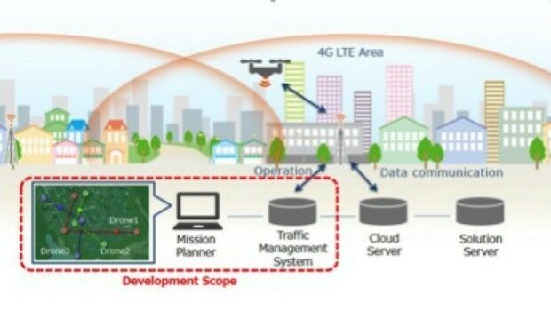
14th April 2017
KDDI and Terra Drone announce the invention of “4G LTE control system
13th April 2017
Global push for Earth observations continues13th April 2017
adsquare to enrich its advertisers platform with HERE location data13th April 2017
USGIF Launches Initiative to Grow GEOINT Workforce in St. Louis
13th April 2017
thinkWhere appoints Jumpstart's Brian Williamson as chair