Share
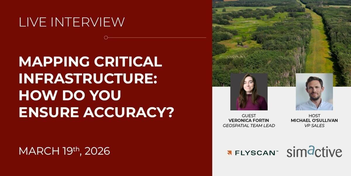
Mapping critical infrastructure such as pipelines presents unique challenges where accuracy, consistency and efficiency are essential for informed decision-making.
Join our guest Veronica Fortin, Geospatial Team Lead at Flyscan Systems, as she shares practical strategies for delivering reliable mapping results in these demanding linear infrastructure settings. Discover how advanced photogrammetry workflows can be cross-checked against public lidar datasets to validate elevation accuracy and support streamlined project execution.
During this webinar, you will learn about:
• Designing efficient acquisition strategies for corridor environments
• Best practices for mapping linear and critical infrastructure
• Validating elevation accuracy with public lidar datasets
• Ensuring consistent quality for planning and analysis
Click here to register
Subscribe to our newsletter
Stay updated on the latest technology, innovation product arrivals and exciting offers to your inbox.
Newsletter

