Share
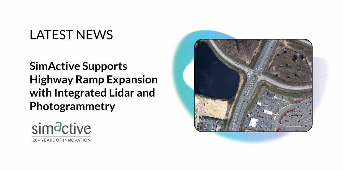
SimActive, a developer of photogrammetry software, announces that its Correlator3D software is being used by Settimio Consulting Services for the engineering design of a highway ramp expansion.
By combining photogrammetry and lidar data, the firm delivers highly accurate ground measurements that are essential for such projects.
Settimio Consulting leverages Correlator3D to process imagery from a Leica TerrainMapper-2 sensor, integrating both lidar and photogrammetry for superior results. The approach ensures precise terrain models and reliable data that engineers can use for critical decision-making.
“One of my favorite abilities of Correlator3D is to create the reference ortho from lidar,” said Kyler Whittenberger, Photogrammetry Manager at Settimio Consulting Services. “Including those points in the aerial triangulation and tying that surface into the solution makes everything more robust.”
Subscribe to our newsletter
Stay updated on the latest technology, innovation product arrivals and exciting offers to your inbox.
Newsletter

