
3G Vehicle Cameras Prove Liability and Defend Against Claims
16th September 2017
3G Vehicle Cameras Prove Liability and Defend Against Claims
16th September 2017
3G Vehicle Cameras Prove Liability and Defend Against Claims
16th September 2017
Esri to Present at TechCrunch Disrupt SF 2017
16th September 2017
Maptitude Supports High School Course in Geographic Technology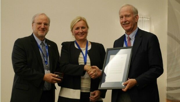
14th September 2017
Marie-Françoise Voidrot receives OGC’s Gardels Award
11th September 2017
The future European Governmental Satellite Communications programme8th September 2017
OGC approves Community Standard for streaming 3D Content7th September 2017
Locating Bahrain’s Underground Utilities
6th September 2017
Ricardo and Roke collaborate on vehicle cyber security5th September 2017
Public comment on proposed Geocoding API Standards Working Group4th September 2017
OGC seeks sponsors for its Underground Infrastructure Pilot Project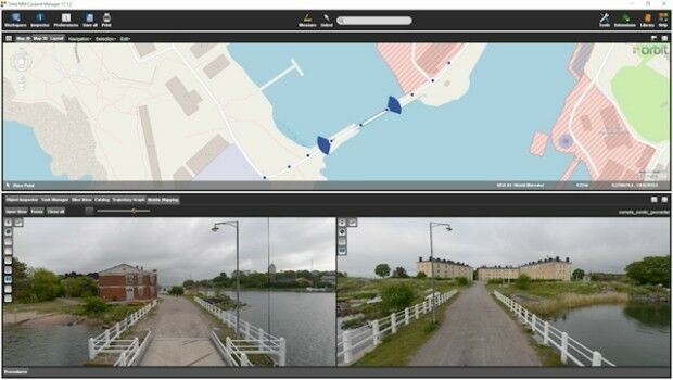
4th September 2017
Orbit GT and Nordic GeoCenter, Finland, sign Reseller Agreement1st September 2017
Free Global Mapper to Organizations Responding to Hurricane Harvey
31st August 2017
2017 URISA Board Election Results Announced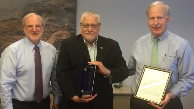
31st August 2017
OGC recognizes the IJIS Institute with Distinguished Member Award31st August 2017
4th User Conference to Celebrate Geospatial Innovation30th August 2017
OGC is seeking participants for its GeoPackage (GPKG)
30th August 2017
Leica iCON now supports Excidor AB tilt rotator control system30th August 2017
Astun Technology Supports Most Successful FOSS4G Ever29th August 2017
Integrated Drone Multispectral Mapping Solution for Agriculture
29th August 2017
Informed Solutions Celebrate 25 Years of Success!29th August 2017
OSNI digital mapping now available through viaEuropa web service15th August 2017
Yotta targets Latin American and North African market14th August 2017
Digital Element’s location-based technology7th August 2017
Participate in a Simulated Exercise at the Disaster Risk Reduction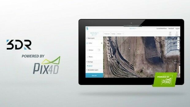
4th August 2017
3DR Site Scan processing now powered by Pix4D
3rd August 2017
Speakers to Highlight the 2017 National GIS in Transit Conference27th July 2017
OGC announces Leidos’ upgrade to Principal Membership27th July 2017
GeoCue GNSS Direct Geopositioning System For Low Cost DJIDrones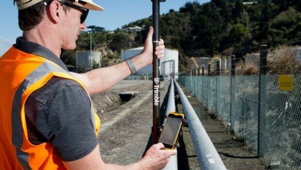
27th July 2017
Trimble Introduces New Android Application25th July 2017
Hampshire firefighters and public safer with integrated communications
25th July 2017
1Spatial Awarded Safe Software’s Top Partner Award 201622nd July 2017
Cityworks Congratulates 2017 SAG Award Winners20th July 2017
OGC publishes results of international Arctic Spatial Data Pilot
19th July 2017
Wirral Council migrates existing corporate GIS to Cadcorp6th July 2017
URISA Activities During the Esri User Conference5th July 2017
OGC announces Geoscience Australia as its newest Principal Member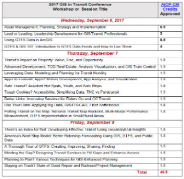
1st July 2017
2017 GIS in Transit Conference Approved for Nearly 50 AICP-CM Credits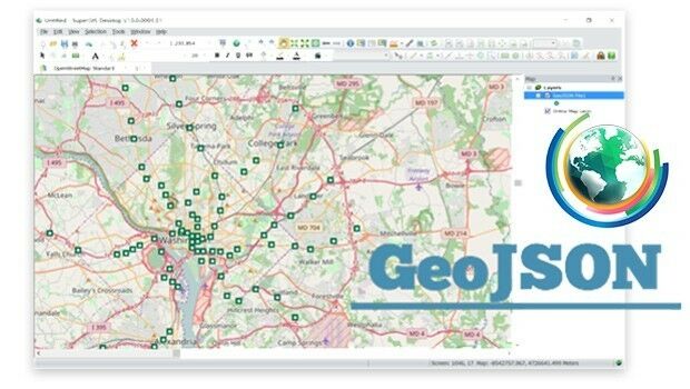
22nd June 2017
Embrace GeoJSON Format Together with SuperGIS Desktop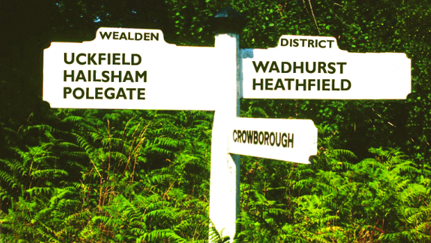
22nd June 2017
Cadcorp selected by Wealden District Council via G-Cloud for corporate GIS
19th June 2017
KilletSoft converts Geodata for Navigation in free Map Services.
12th June 2017
NextGen 9-1-1 and Emergency Preparedness Content at GIS-Pro 20177th June 2017
Esri ArcGIS 10.5 Leading Platform in OGC Compliance
7th June 2017
GIS-Pro 2017 Conference Track Themes Emerge6th June 2017
Dassault Systèmes has joined OGC as a Principal Member5th June 2017
viaEuropa with Ordnance Survey base maps now on Tableau
31st May 2017
UK Regulator, Oil & Gas Authority Awards Contract to CGG GeoConsulting