OGC seeks public comment on proposed Statistical Domain Working Group
6th July 2018
OGC seeks public comment on proposed Statistical Domain Working Group
6th July 2018
OGC seeks public comment on proposed Statistical Domain Working Group
5th July 2018
OpenSearch for Earth Observation Suite of Standards2nd July 2018
OGC Seeks Public Comment on 3D Tiles Candidate Community Standard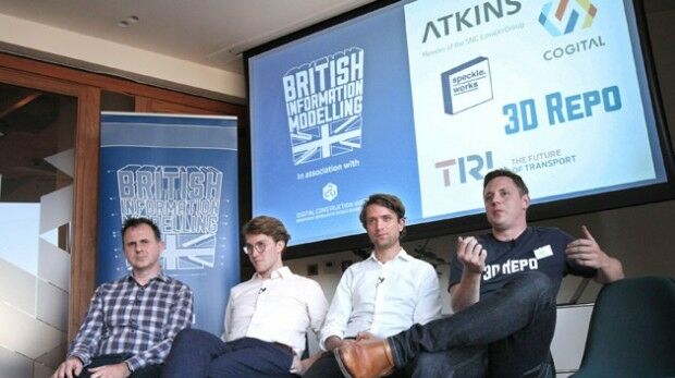
28th June 2018
BIM Event Speakers Make Plea for Digital Transformation in Construction
28th June 2018
OGC seeks public comment on Part 1 of the Features and Geometries
26th June 2018
OGC seeks public comment on Tile Matrix Set Candidate Standard22nd June 2018
Safe Software renews FME Certification for 1Spatial's Mary O'Brien
19th June 2018
Participation in Citizen Science Interoperability Experiment
19th June 2018
OGC Calls for Participation in its Indoor Mapping and Navigation Pilot18th June 2018
We are pleased to announce the GRASS GIS 7.4.1 release16th June 2018
Third 2018 URISA GIS Leadership Academy Announced15th June 2018
New Light Technologies and Boundless Announce Strategic Partnership
8th June 2018
Silent Auction to Benefit URISA's GISCorps Announced
7th June 2018
OGC Invites you to the Disasters CDS Workshop at the NOAA Auditorium
6th June 2018
Boundless Server Enterprise Now Available as Managed Cloud Service
23rd May 2018
Workshop and Presentation Proposals Invited for 2019 GIS/CAMA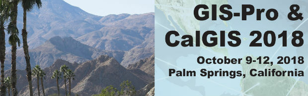
15th May 2018
Comprehensive Education Featured at GIS-Pro & CalGIS 201810th May 2018
Pitney Bowes Re-engineers Desktop Mapping & Location Intelligence10th May 2018
Users Can Now Access ArcGIS Data in Microsoft Power BI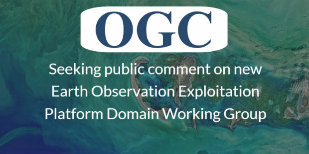
9th May 2018
Earth Observation Exploitation Platform Domain Working Group
9th May 2018
Data Gateway brings powerful data validation and processing via a self-serve, training-free experien7th May 2018
Boundless Continues its Commitment to the Open Source Community
7th May 2018
OGC seeks public comment on new Interoperable Simulation
4th May 2018
OGC announced as official partner of Earth Challenge 2020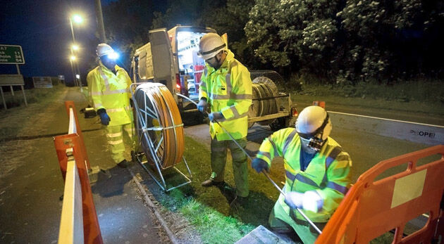
2nd May 2018
thinkWhere helps Scotland's Superfast Broadband achieve 95% coverage
2nd May 2018
OGC calls for Sponsors of a major Innovation Initiative, Testbed 15
1st May 2018
EarthSense Maps Show Homeowners Air Pollution Levels
30th April 2018
OGC Calls for Sponsors for Maritime Limits and Boundaries Pilot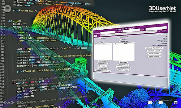
24th April 2018
3DUserNet announced today the release of their first generation API.20th April 2018
OGC Seeks Public Comment on update to Abstract Specification Topic 2
18th April 2018
OGC invites you to the Disasters CDS Workshop at NASA Ames17th April 2018
Real-Time Mobile Data Collection with Boundless Anywhere
17th April 2018
OGC announces the ESA’s upgrade to Strategic Member
30th March 2018
OGC seeks public comment on version 1.1 of CDB standard
23rd March 2018
OGC announces Part 3 of the WaterML 2 suite of standards21st March 2018
Open Geospatial Standards track at ISPRS Technical Commission8th March 2018
Boundless to Host Roundtable Webinar on Boundless Server Enterprise
8th March 2018
OGC publishes Testbed 13 Engineering Reports2nd March 2018
OGC seeks public comment on Web Services Security Candidate Standard1st March 2018
Disasters Interoperability Concept Development Study28th February 2018
GC seeks public comment on GML in JPEG 2000 (GMLJP2) v2.116th February 2018
OGC seeks public comment on Web Coverage Service (WCS)
14th February 2018
OGC Announces Earth Observation Exploitation Platform Hackathon 20188th February 2018
Esri Releases Operations Dashboard for ArcGIS8th February 2018
OGC Requesting Responses to its Portrayal Concept Development Study25th January 2018
2018 URISA Exemplary Systems in Government Awards Process Opens