
GIS Leadership: URISA program to be offered twice in 2017
6th December 2016
GIS Leadership: URISA program to be offered twice in 20176th December 2016
GIS Leadership: URISA program to be offered twice in 201728th November 2016
Participation in Electromagnetic Spectrum Domain Working Group21st November 2016
OGC invites you to its Testbed 12 demonstration and exposition16th November 2016
Indexed 3D Scene Layers as a Community standard work item1st November 2016
National States Geographic Information Council Elections26th October 2016
Extra £320,000 in business rates from data matching21st October 2016
The first Customer Created App lands on DataFlow19th October 2016
OGC approves Standard for use in the Modeling and Simulation World12th October 2016
Arrow Gold High-Accuracy iOS/Android GNSS receiver11th October 2016
URISA's GIS-Pro 2016 Conference in Toronto Approved29th September 2016
American Geographical Society’s 2016 Fall Symposium27th September 2016
Stan Tillman receives OGC’s Gardels Award26th September 2016
Dr Winnie Tang of Esri China to Keynote at GSDI 15 World Conference22nd September 2016
OGC seeks public comment for candidate Moving Features Access Standard21st September 2016
Student Volunteer Opportunities at URISA's GIS-Pro 2016 Conference21st September 2016
Soon, the version 2.0 of Giswater will be releasead21st September 2016
URISA Announces 2017 GIS Professional Educational Calendar21st September 2016
OGC requests participation in its Land Administration DWG21st September 2016
OGC publishes Testbed 12 Aviation Thread Engineering Reports6th September 2016
Thoughts and impressions from the GRASS GIS Community Sprint at FOSS4G30th August 2016
OGC proposed work item for 3D Tiles as a Community Standard18th August 2016
Location Powers Workshop to advance Big Data Geospatial applications16th August 2016
Avenza Releases MAPublisher 9.8 for Adobe Illustrator9th August 2016
OGC adopts SensorThings API Part 1: Sensing Standard5th August 2016
OGC requests participation in its Citizen Science DWG4th August 2016
OGC requests participation in its Marine DWG29th July 2016
Key Developments to Luciad's Geospatial Software Solutions23rd June 2016
1Spatial Solves Data Problems at Esri User Conference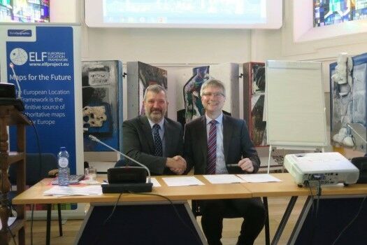
15th June 2016
EuroGeographics signs production management agreement with BKG Germany
6th June 2016
Final reminder about the Early Careers Network webinar - 8th June 20161st June 2016
Topcon announces increased integration with Autodesk scanning software26th May 2016
OGC® invites Proposals for an Arctic Spatial Data Pilot project
24th May 2016
OGC and SIBA sign Memorandum of Understanding
24th May 2016
Cadcorp provides support for latest OS OpenData™ products and OS MasterMap® styling.
19th May 2016
OGC requests comment on revision of its GWML2 specification
18th May 2016
GSDI 15 World Conference: Menno-Jan Kraak joins keynote speaker lineup
16th May 2016
LizardTech Launches Express Server 9.5 at GEOINT 2016 Symposium
16th May 2016
OGC's 99th Technical & Planning Committee Meetings Announced11th May 2016
OGC adopts WaterML2.0 Part 2 - Ratings, Gaugings and Sections Standard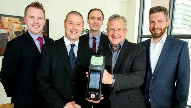
11th May 2016
Esri Ireland & Leica put accuracy into the hands of field workers4th May 2016
Partner: Aligned Assets Introduces what3words into Gazetteer Products