Share
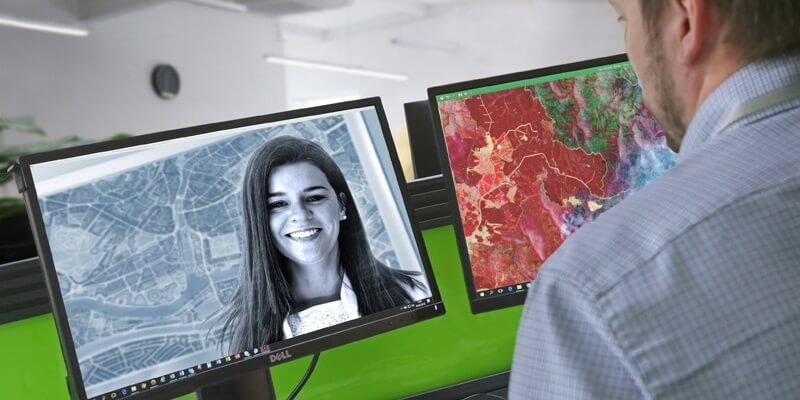
Earth observation company 4 Earth Intelligence (4EI) has launched a series of free online training seminars designed to provide an easy to understand overview of satellite imagery types and the potential of derived products and services. The web-based sessions will initially cover an introduction to the different types of sensors and the data they capture including how this can be processed to derive intelligence.
Hosted by remote sensing specialists based in 4EI’s Abu Dhabi offices, the seminars will also include a more detailed review of earth observation data and its application for real world problems such as effective land management practices, air pollution monitoring and urban heat impact assessments. Online space will also be provided for a Q&A session and peer-to-peer networking.
The first 4EI online webinar will take place on the 7th May 2020 at 1000 GST and interested parties are invited to sign up. Future sessions will include an overview of remote sensing and GIS services and the power of data fusion followed by advanced use case scenario based topics including Artificial Intelligence (AI) and Machine Learning.
“Earth observation is becoming increasingly important especially at a time when global lockdown is enforcing remote working, potentially changing forever the way day to day business and governments work,” commented Helena Dite, General Manager at 4 Earth Intelligence’s Abu Dhabi office and co-host of the online training programme. “Innovation and education are crucial as we move forward and we are passionate about working with users to help them harness the potential of Earth Observation which is why we have created this series of online learning resources.”
Earth observation is the collection of information about the physical, chemical and biological systems of the planet via remote sensing techniques; in other words measurement or information gathering from a distance. Techniques and technologies used for earth observation can range from simple floating buoys right up to sophisticated satellite sensors.
It is currently estimated there are in the region of 2,000 artificial satellites orbiting the earth designated into separate categories or roles; including communications, navigation and Global Positioning Satellites (GPS). This classification also includes the overarching definition of remote sensing satellite which can include a wide variety of sensors, and therefore data captured, including imagery, radar and non-imaging sensors such as infra-red and hyperspectral.
Recent estimates suggest that there are around 700 earth observation satellites, a staggering growth of 250 percent in just four years, which allows for the globe’s entire landmass to be imaged, in its entirety, every day!
CONTACTS:
Helena Dite, General Manager UAE, 4 Earth Intelligence, + 971 2 659 4153, [email protected],
Subscribe to our newsletter
Stay updated on the latest technology, innovation product arrivals and exciting offers to your inbox.
Newsletter

