
Discover how the SP85 GNSS receiver is used in the field
15th April 2021
Discover how the SP85 GNSS receiver is used in the field
15th April 2021
Discover how the SP85 GNSS receiver is used in the field
26th March 2021
SimActive Increases Drone Productivity with New Tools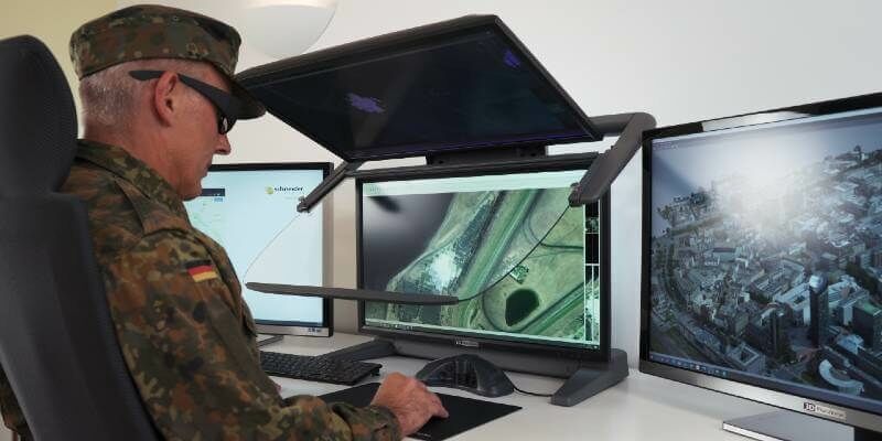
5th March 2021
Schneider Digital – stereoscopic display technologies for military applications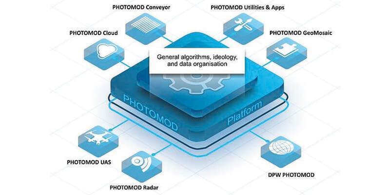
2nd March 2021
Racurs new generation photogrammetric platform, PHOTOMOD 7.0, now available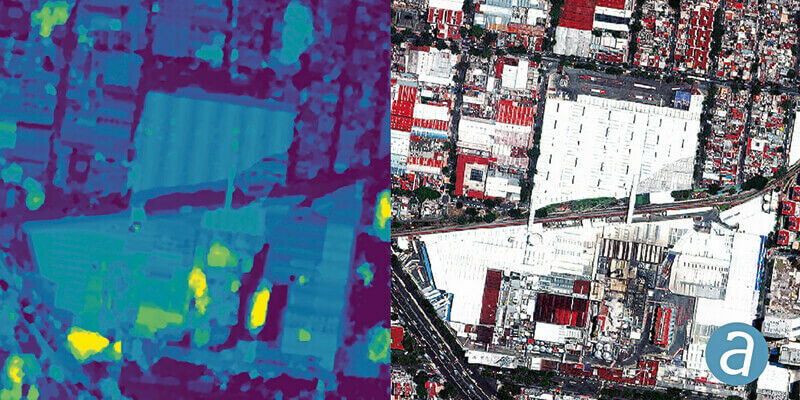
2nd March 2021
SimActive Used to Determine Solar Potential from Satellite Imagery1st March 2021
thinkWhere Wins Contract to Open Up Access to European Mapping
17th February 2021
Speeding Up Drone Mapping Projects Webinar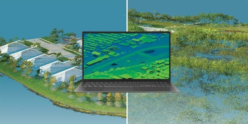
28th January 2021
SimActive Used to Determine Solar Potential from Satellite Imagery27th January 2021
New version of European Bathymetry Digital Terrain Model

10th November 2020
SimActive Releases Version 8.6 of Correlator3D29th October 2020
First high-resolution, homogeneous Digital Surface Model (DSM) for Germany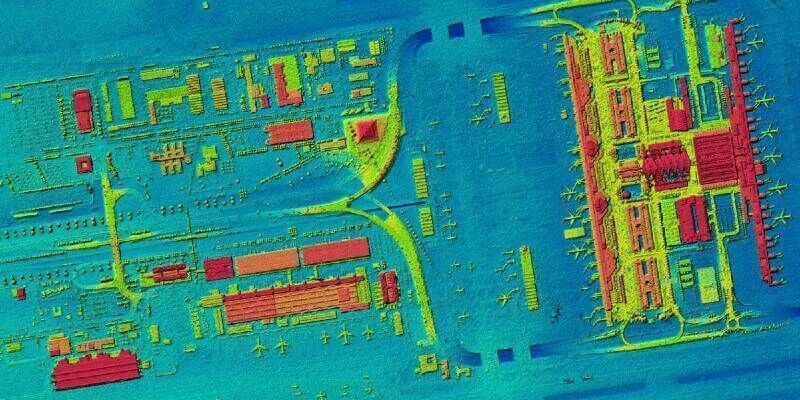
14th October 2020
First high-resolution, homogeneous Digital Surface Model for Germany

26th August 2020
Surveyors all over the Globe rely on Nikon Total Stations
27th July 2020
MicroSurvey - FieldGenius for Android New Project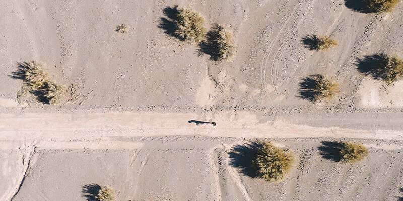
7th July 2020
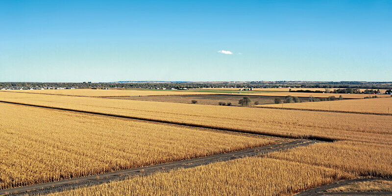
SimActive Software Used for Oil and Gas Seismic Exploration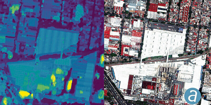
1st July 2020
SimActive Involved in the Mapping of a UNESCO Archeological Site

24th June 2020
HxGN Content Program updates 3 million square kilometres of aerial data in U.S., Europe in 202018th June 2020
iXblue, Woolpert partner to deliver LiDAR mapping services to New Zealand Councils
2nd June 2020
Simactive announces Webinar on How to Calibrate and Process Multispectral Imagery
4th May 2020
MicroSurvey - FieldGenius For Android Point Line
24th April 2020
MicroSurvey - FieldGenius for Android Staking


30th April 2019
CARL Software presents its new solutions for operational BIM23rd April 2019
Innovation CARL Software presents its new solutions for operational BIM
13th March 2019
Bluesky 3D Terrain Models Upgrade Ambiental Risk Analytics’ UK Flood Risk Map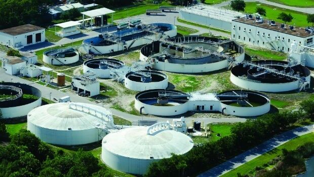
2nd March 2019
Digital Water Works, Inc. Receives Strategic Investment from Bentley Systems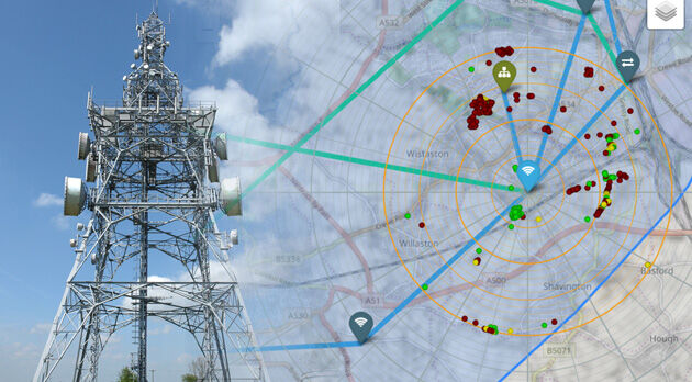
28th February 2019
Bluesky 3D Models Improve Mobile, 5G and Smart City Network Planning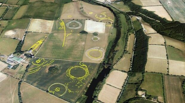
30th January 2019
Bluesky Aerial Photographs Reveal Hidden Irish Archaeological Sites
4th December 2018
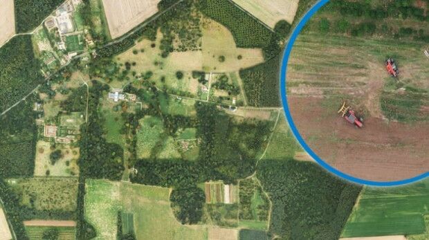
Bluesky Aerial Images Help Reveal Secrets of Farm Management
3rd December 2018
Maptek Sentry wins Excellence in Innovation award
26th November 2018
Getmapping appoints Geosolutions Consultant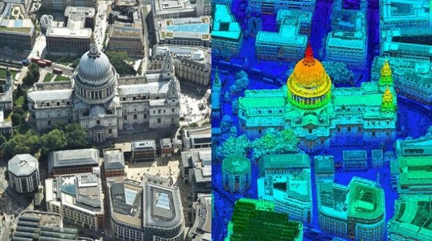
21st November 2018
Bluesky first to use Leica CityMapper to capture UK cities in 3D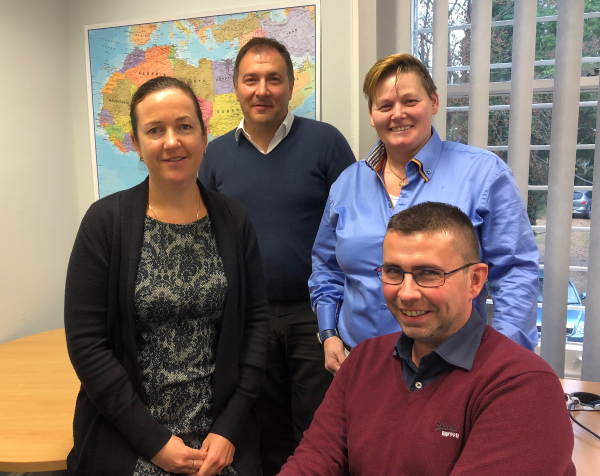
20th November 2018
Getmapping Announces New European Management Team Structure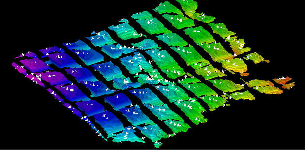
15th November 2018
Multi-objective optimisation reaching new heights