Share
Wouldn’t it be good to have a DJ who could play you tracks based on how you were feeling as well as the landscape around you as you run? Sandra Baldassarri, F Javier Zarazaga-Soria and Pedro Álvar explain how DJ-Running matches mood, music and location
The emotions that someone feels and the environment in which they are in are interconnected. It therefore makes sense to study how the elements that constitute physical spaces influence people through their emotions – obviously, it’s not the same to walk in a park on a sunny day as it is in a noisy industrial area. The study of this correlation could be useful for the development of a new generation of location-based applications.
Nowadays, there are many GNSS devices that can help us to determine our position. This can be used to find geographic resources that describe what is around us or even the weather conditions, the pollution or the air quality of the environment. All these geographical elements influence the emotions that someone is feeling. The problem is to determine the real influence of these elements and to interpret them for each person. Positioning devices, emotional wearables, geodata services and intelligent systems should be integrated for developing innovative solutions able to address the challenge of combining the geographical and emotional dimensions.
DJ-Running
The goal of the DJ-Running research project is to develop a new generation of context and emotion-aware mobile applications for runners. The aim is to develop emotional wearables and intelligent systems able to interpret emotionally the sensor data obtained from them. This emotional data must be combined with geographic resources that help the system to characterise the environment in which the user is running.
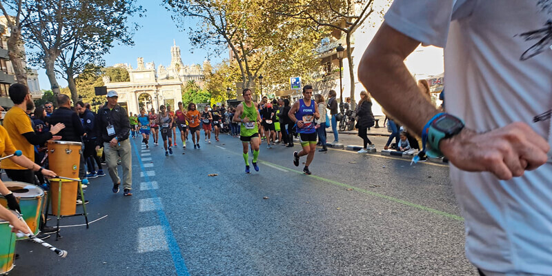
One of the applications we’ve developed is intended to recommend music to runners to increase their motivation and improve their performance. These recommendations are based on the type of training session and the runners’ current emotions and context. The system has five key elements.
An emotional wearable for runners
A bracelet has been built to get the emotions of the runner. Internally, the bracelet incorporates sensors for measuring the electrical conductivity of the skin and the pulse (used commonly in affective computing). The data collected is sent to a mobile application via Bluetooth and enhanced with the user’s current position.
Geographic variables that influence the runner’s training
Different discussion groups with runners and web-based surveys have been organised to discover and select the geographic variables that influence the music recommendations. In the runners’ opinion, the landscape, the type of soil, the orography, the weather, noise pollution or air quality affect the runners’ motivation and performance during training.
An infrastructure of geographic data and services
The DJ-Running system has been conceived as a global system that could be deployed anywhere in the world. This made us develop a web-based infrastructure able to provide access to geographic-based resources offered by different types of entities along the world. We considered it necessary to build it using the base of international standards, OGC and the W3C being the key actors for providing them.
As a result, we have developed a set of web services to provide uniform access to different geographic resources that can provide the values for the variables identified by the runners. Providers include cadastre systems, national and local spatial data infrastructures, the CORINE database, the online systems of the national geographic agencies and the different weather services available on the Internet.
A music recommendation system
The recommender receives the runner’s location and emotions, and determines the next song to be played at that moment. The location is used to determine the current environment. The system then interacts with the infrastructure of geographic services, accesses the corresponding geodata, and creates a representation of the current environment. A rules-based engine then analyses the runner’s emotions and the representation of the environment to select the Spotify songs to recommend.
A mobile application
The system includes a mobile application for supporting the training sessions of runners. The runner wears the emotional wearable that is continuously sending the data sensor to the application, which incorporates the location. Then the recommendation system uses the geodata available for determining the songs to be played through the Spotify player integrated into de application.
In practice
The first deployment of the system has been made in Zaragoza in Spain. The type of landscape is inferred by connecting the system with two data providers: the Spanish Cadastral Office, which provides information about the use of the parcel and other complementary data such as road limits and river limits; and the Zaragoza City Council Open Data portal, which provides urban data about the parks and green areas of the city in CSV format.
For determining the type of soil, the system interprets the landscape information available, assuming that all green areas have soft soil and the other areas have hard soil. Meanwhile, the orography data is obtained from the digital elevation model published by the Spanish National Center for Geographic Information with 2m resolution (MDT02); the weather variable uses the data from the Spanish National Weather Agency that has been uploaded using its Rest API; the pollution variable is connected with the Zaragoza City Council Open Data portal and uploads the data from a JSON file; and the noise variable obtains its values from the dataset provided by the Zaragoza City Council (also in its Open Data portal).
Now and beyond
In the near future, the project aims to evolve in two main directions. We are working on the characterisation of space based on the emotions obtained. A collaborative mobile app for acquiring the emotions and linking the different places through OpenStreetMap data is being developed.
We are also looking for opportunities to deploy the system in other domains. It only needs to be connected to the geodata sources of the area to deploy. We are therefore looking for companies and public bodies interested in having the system operating in their own scenarios, by creating new business models.
Sandra Baldassarri, F Javier Zarazaga-Soria and Pedro Álvarez are professors at the Informatics Department of the University of Zaragoza (djrunning.es)


