3D Laser Maps Reveal Devon's Hidden Archaeology
11th November 2016
3D Laser Maps Reveal Devon's Hidden Archaeology11th November 2016
3D Laser Maps Reveal Devon's Hidden Archaeology25th October 2016
3D Scanning Industry Veteran hired by PrecisionPoint7th September 2016
Bluesky Publishes First Online 3D Maps of Isle of Man24th August 2016
Pitram implemented at one of the largest mines in Mongolia16th August 2016
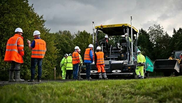
Introducing Improved Mine Scheduling Software10th August 2016
MICROMINE's latest feature on Implicit Modelling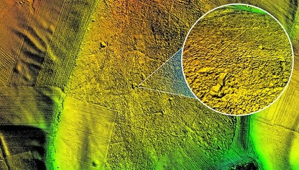
4th August 2016
Bluesky aerial laser maps reveal Battle of the Somme secrets for TV show
9th June 2016
Bluesky’s 3D Laser Maps Inform BIM Projects8th June 2016
Merrick-Surdex JV Awarded Contract with USGS
28th April 2016
Announcing Bentley OpenRoads Navigator App28th April 2016
MICROMINE and Carlson Software Inc. Strengthen Partnership
27th April 2016
Bluesky Aerial Photomap Definitive Information Resource for Irish Council
26th April 2016
Announcing Euclideon Geoverse 1.4 Including Autocad® Support26th April 2016
SimActive Achieves Breakthrough with Latest Correlator3D™ Release
21st April 2016
Bluesky 3D Photomaps Help Manage City’s Green Space6th April 2016
The new version 6.1 of the PHOTOMOD software family has been released
21st January 2016
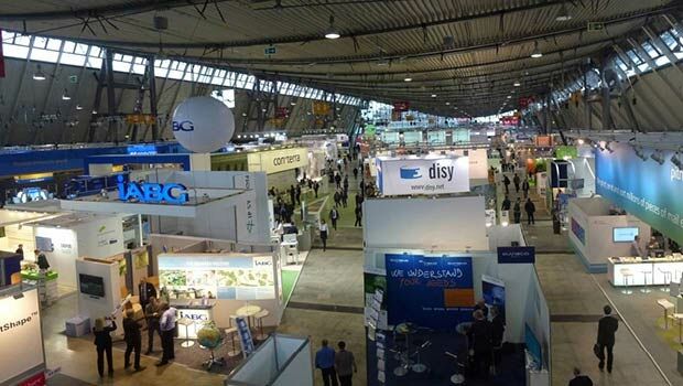
INTERGEO: supporting Hamburg’s Smart City quest


7th January 2016
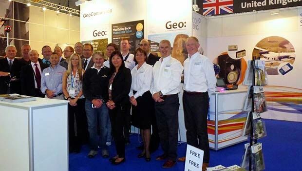
INTERGEO: the global hub for Geo business
7th January 2016
The future of disaster response management
28th October 2015
INTERGEO 2015 Review - Going global. Going great!