Introducing Thematic Mapper for Easy In-map Analytics

28th November 2016

Introducing Thematic Mapper for Easy In-map Analytics

Farmers and environment benefits as OS create new data layer of hedges

25th November 2016

Farmers and environment benefits as OS create new data layer of hedges

what3words adopted by six national mapping agencies

25th November 2016

what3words adopted by six national mapping agencies

Exprodat & MapAction Take On Matthew

21st November 2016

Exprodat & MapAction Take On Matthew

Esri Creates First Global Map of the Catholic Church

19th November 2016

Esri Creates First Global Map of the Catholic Church

Map Your World on GIS Day 2016

15th November 2016

Map Your World on GIS Day 2016

New Edition of Map Use: Reading, Analysis, Interpretation

10th November 2016

New Edition of Map Use: Reading, Analysis, Interpretation

Geovation announces its next generation of Programme members

9th November 2016

Geovation announces its next generation of Programme members

To Help Create Safer Communities, Esri Hosts Public Safety Symposium

8th November 2016

To Help Create Safer Communities, Esri Hosts Public Safety Symposium

ADC WorldMap Releases Digital Atlas Version 7.3

8th November 2016

ADC WorldMap Releases Digital Atlas Version 7.3

Britain on Foot campaign pledges to #GetOutside

8th November 2016

Britain on Foot campaign pledges to #GetOutside

Professional Imagery Products Created in Minutes

3rd November 2016

Professional Imagery Products Created in Minutes

Esri Sponsors 2016 Code for America Summit

28th October 2016

Esri Sponsors 2016 Code for America Summit

Extra £320,000 in business rates from data matching

26th October 2016

Extra £320,000 in business rates from data matching

The first Customer Created App lands on DataFlow

21st October 2016

The first Customer Created App lands on DataFlow

Esri Brings Smart Mapping to IBM World of Watson 2016

21st October 2016

Esri Brings Smart Mapping to IBM World of Watson 2016

Colin Bartholomew releases World MidScales Explorer version 16.1

19th October 2016

Colin Bartholomew releases World MidScales Explorer version 16.1

East View Nautical Website Now Offering SHOM Charts

18th October 2016

East View Nautical Website Now Offering SHOM Charts

Orbit GT unveils Mobile Mapping Feature Extraction v17 features

11th October 2016

Orbit GT unveils Mobile Mapping Feature Extraction v17 features

MunchMap launches first Kickstarter Campaign

7th October 2016

MunchMap launches first Kickstarter Campaign

CGG Acquires Saturno Multi-Client Survey

5th October 2016

CGG Acquires Saturno Multi-Client Survey

Humanitarian response to Hurricane Matthew in Jamaica

1st October 2016

Humanitarian response to Hurricane Matthew in Jamaica

TomTom expands HD Map coverage to over 200K kilometres

29th September 2016

TomTom expands HD Map coverage to over 200K kilometres

Yotta Signs Strategic Partnership Agreement with LEHMANN + PARTNER

28th September 2016

Yotta Signs Strategic Partnership Agreement with LEHMANN + PARTNER

Orbit GT CEO to talk on Worldwide Business with kathy ireland®

22nd September 2016

Orbit GT CEO to talk on Worldwide Business with kathy ireland®

East View Offering Print-on-Demand Tyvek World Maps from Magna Carta

21st September 2016

East View Offering Print-on-Demand Tyvek World Maps from Magna Carta

Watford Derailment Strengthens Mobile Mapping Argument

16th September 2016

Watford Derailment Strengthens Mobile Mapping Argument

East View Secures Agreement with Norwegian Mapping Authority

14th September 2016

East View Secures Agreement with Norwegian Mapping Authority

Free Australia Postcode Maps by Australian City/State

30th August 2016

Free Australia Postcode Maps by Australian City/State

Cardno Provides Services to U.S. Northwest Law Enforcement Agencies

30th August 2016

Cardno Provides Services to U.S. Northwest Law Enforcement Agencies

Esri Maps NOAA's National Water Model

26th August 2016

Esri Maps NOAA's National Water Model

Map of the month: GfK Retail Purchasing Power

24th August 2016

Map of the month: GfK Retail Purchasing Power

Manchester student puts museum’s fossils on the map

24th August 2016

Manchester student puts museum’s fossils on the map

Avenza Systems Rebrands Popular Map App

10th August 2016

Avenza Systems Rebrands Popular Map App
The Truth About Drones in Mapping and Surveying (from import)
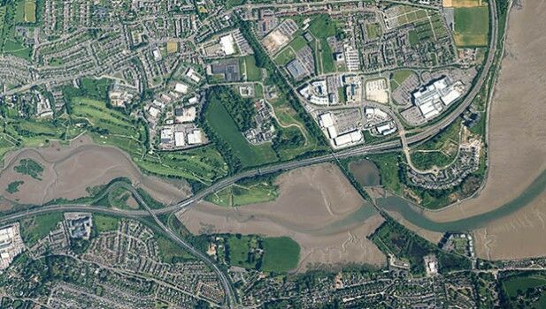
The Truth About Drones in Mapping and Surveying

1st August 2016

The Truth About Drones in Mapping and Surveying
Bluesky Geospatial Joins Ireland’s Growing Geographic Information Industry (from import)

Bluesky Geospatial Joins Ireland’s Growing Geographic Information Industry

28th July 2016

Bluesky Geospatial Joins Ireland’s Growing Geographic Information Industry

Hexagon Geospatial Honors Airbus Defense and Space with Shaping Change Recognition Programme

21st July 2016

Hexagon Geospatial Honors Airbus Defense and Space with Shaping Change Recognition Programme
Hexagon Geospatial Releases Power Portfolio 2016 (from import)

Hexagon Geospatial Releases Power Portfolio 2016

13th July 2016

Hexagon Geospatial Releases Power Portfolio 2016
Esri Pledging $500,000 to White House Data Driven Justice Initiative (from import)

Esri Pledging $500,000 to White House Data Driven Justice Initiative

1st July 2016

Esri Pledging $500,000 to White House Data Driven Justice Initiative
Maptitude for Emergency Response Mapping (from import)

Maptitude for Emergency Response Mapping

30th June 2016

Maptitude for Emergency Response Mapping

New dataset of accessible greenspace for Scotland

30th June 2016

New dataset of accessible greenspace for Scotland
Free Healthcare Data for Use with Maptitude (from import)

Free Healthcare Data for Use with Maptitude

30th June 2016

Free Healthcare Data for Use with Maptitude
Longitude Announces Offering of Rare Soviet Maps of U.S. Cities (from import)

Longitude Announces Offering of Rare Soviet Maps of U.S. Cities

29th June 2016

Longitude Announces Offering of Rare Soviet Maps of U.S. Cities
New Maptitude 2016 Country Packages (from import)

New Maptitude 2016 Country Packages

29th June 2016

New Maptitude 2016 Country Packages

Mapillary Awarded as Technology Pioneer by World Economic Forum

27th June 2016

Mapillary Awarded as Technology Pioneer by World Economic Forum
GfK releases new geodata for Australia and New Zealand (from import)

GfK releases new geodata for Australia and New Zealand

23rd June 2016

GfK releases new geodata for Australia and New Zealand
eeGeo launches Smart Workplace solution (from import)

eeGeo launches Smart Workplace solution

23rd June 2016

eeGeo launches Smart Workplace solution
London mapped in original OS style (from import)

London mapped in original OS style

22nd June 2016

London mapped in original OS style