Cartography
The compilation, reproduction and dissemination of maps and charts by means of manual (analogue) or digital techniques, tools and workflows. This topic covers the compilation, reproduction, dissemination and use of both analogue (paper) and digital maps, charts and atlases. As well as the science of cartography, including georeferencing and geocoding, digital techniques for compiling and generating various types of raster and vector maps and charts are covered, as are the digital mapping tools and Geographic Information Systems available for this purpose. The application of cartography for aeronautical, terrestrial and marine purposes is also covered
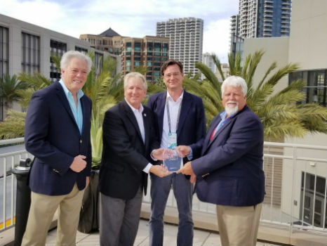
Nottingham expert named President of the Royal Institute of Navigation
20th July 2018
Nottingham expert named President of the Royal Institute of Navigation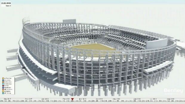
Bentley Systems Presents Synchro Software Solution
20th July 2018
Bentley Systems Presents Synchro Software Solution
Ordnance Survey to help Guyana reap the benefit of geospatial data
19th July 2018
Ordnance Survey to help Guyana reap the benefit of geospatial data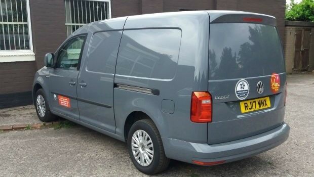
Narrow Aisle Extends Telematics Contract With Ctrack
19th July 2018
Narrow Aisle Extends Telematics Contract With Ctrack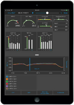
Garmin Pilot app launches real-time engine data display
19th July 2018
Garmin Pilot app launches real-time engine data display
Garmin® provides key updates for TXi flight displays
19th July 2018
Garmin® provides key updates for TXi flight displays
Ordnance Survey announces new OS Open Zoomstack
19th July 2018
Ordnance Survey announces new OS Open Zoomstack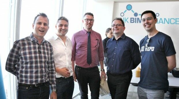
3D Repo Drives Adoption of BIM with UK BIM Alliance
18th July 2018
3D Repo Drives Adoption of BIM with UK BIM Alliance
Earth-i led consortium secures grant from UK Space Agency.
17th July 2018
Earth-i led consortium secures grant from UK Space Agency.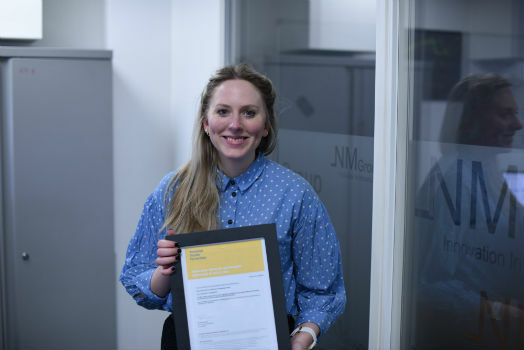
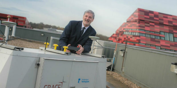
NM Group and Durham University complete outstanding research
17th July 2018
NM Group and Durham University complete outstanding research
PDF3D Panoramic 360 into PDF Tool for the First Time
17th July 2018
PDF3D Panoramic 360 into PDF Tool for the First Time
Flann working with NASA on space mission to map Earth’s water
17th July 2018
Flann working with NASA on space mission to map Earth’s water
Aeronyde and Unifly Partner to Build Advanced Drone Systems
17th July 2018
Aeronyde and Unifly Partner to Build Advanced Drone Systems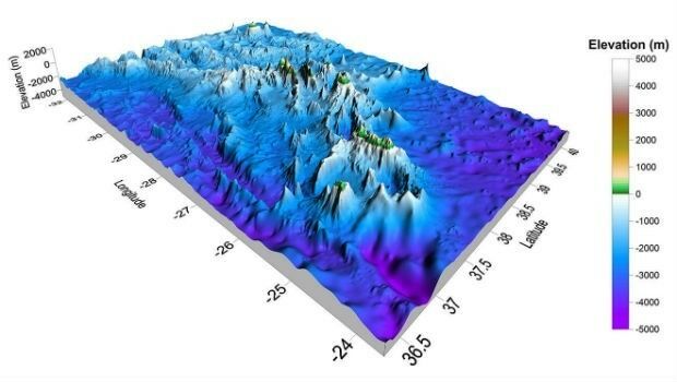
Golden Software Announces Educational Site License for Universities
17th July 2018
Golden Software Announces Educational Site License for Universities
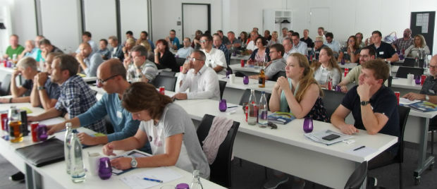
BaSYS User Conference 2018: BARTHAUER contributes new ideas
13th July 2018
BaSYS User Conference 2018: BARTHAUER contributes new ideas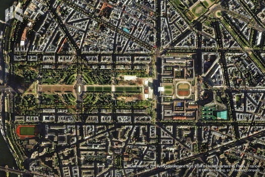
Deimos Awarded Multi-Million Euro ESA Contract
13th July 2018
Deimos Awarded Multi-Million Euro ESA Contract
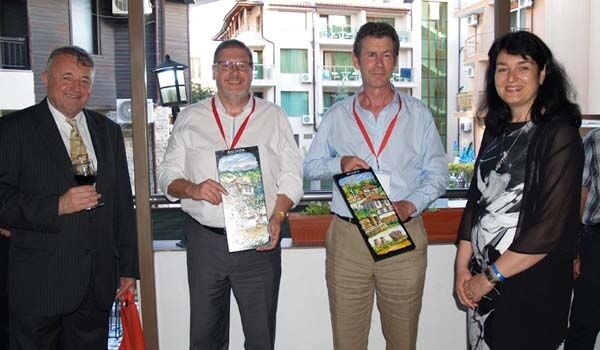
The 7th International Conference on Cartography and GIS
13th July 2018
The 7th International Conference on Cartography and GIS
Hexagon opens new mining headquarters in Tucson, Arizona
13th July 2018
Hexagon opens new mining headquarters in Tucson, Arizona
European Union with seamless satellite-based coverage of Europe
13th July 2018
European Union with seamless satellite-based coverage of Europe
Paragon Now Connected With More Than Forty Telematics Systems
13th July 2018
Paragon Now Connected With More Than Forty Telematics Systems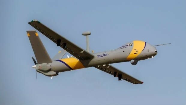
Elbit Systems Rolls-out Hermes 900 StarLiner
12th July 2018
Elbit Systems Rolls-out Hermes 900 StarLiner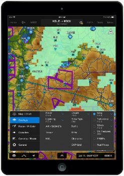
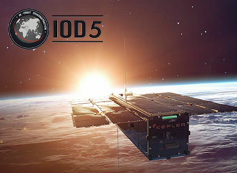
Catapult partners with Kepler Communications
12th July 2018
Catapult partners with Kepler Communications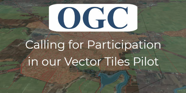
OGC Calls for Participation in Vector Tiles Pilot
12th July 2018
OGC Calls for Participation in Vector Tiles Pilot
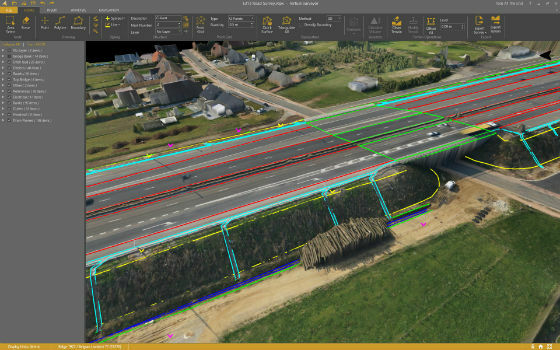
Virtual Surveyor Streamlines Workflow, Enhances User Experience
11th July 2018
Virtual Surveyor Streamlines Workflow, Enhances User Experience
Avenza Releases MAPublisher 10.2 For Adobe Illustrator
11th July 2018
Avenza Releases MAPublisher 10.2 For Adobe Illustrator
Geosoftware with Tools for analyzing and processing of NTv2 files
10th July 2018
Geosoftware with Tools for analyzing and processing of NTv2 files
Belgians’ purchasing power for food three times that of Poles
10th July 2018
Belgians’ purchasing power for food three times that of Poles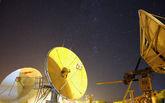
Goonhilly unveils roadmap for commercial space communications
10th July 2018
Goonhilly unveils roadmap for commercial space communications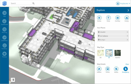

thinkWhere Helps Transform Land Registration in Scotland
10th July 2018
thinkWhere Helps Transform Land Registration in Scotland
Fugro Returns To Ørsted’s Hornsea Offshore Wind Farm Sites
7th July 2018
Fugro Returns To Ørsted’s Hornsea Offshore Wind Farm Sites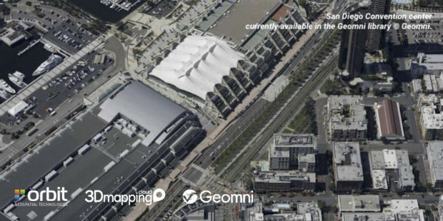
Orbit GT to showcase Geomni Oblique content in ArcOnline/ArcGIS
7th July 2018
Orbit GT to showcase Geomni Oblique content in ArcOnline/ArcGIS
Ordnance Survey win prestigious industry gong at ukactive Awards
7th July 2018
Ordnance Survey win prestigious industry gong at ukactive Awards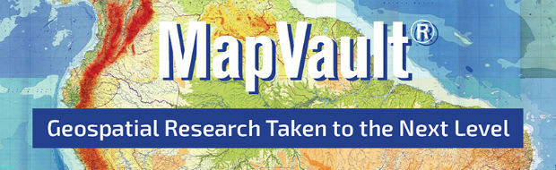
Take Your Geospatial Research to the Next Level with MapVault
6th July 2018
Take Your Geospatial Research to the Next Level with MapVault
Airbus wins two ESA studies for Mars Sample Return mission
6th July 2018
Airbus wins two ESA studies for Mars Sample Return mission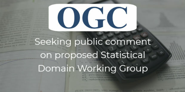
OGC seeks public comment on proposed Statistical Domain Working Group
6th July 2018
OGC seeks public comment on proposed Statistical Domain Working Group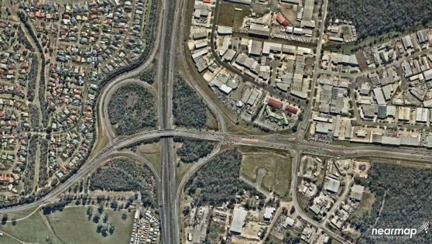
Mobile Mapping System Helps Australia’s Northgroup
6th July 2018
Mobile Mapping System Helps Australia’s Northgroup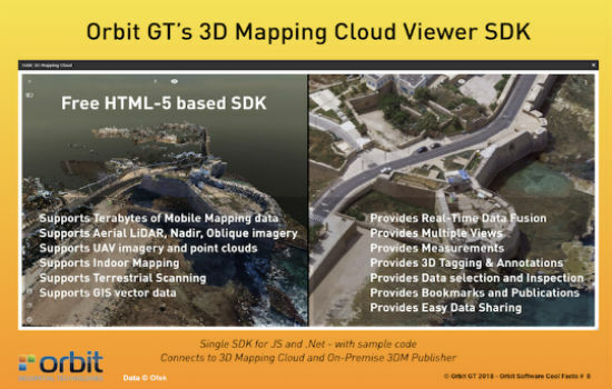
Orbit GT releases free SDK/API for 3D Mapping Cloud SaaS platform
5th July 2018
Orbit GT releases free SDK/API for 3D Mapping Cloud SaaS platform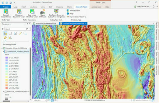
Geosoft add-in enhances integration with ArcGIS Pro
5th July 2018
Geosoft add-in enhances integration with ArcGIS Pro
OpenSearch for Earth Observation Suite of Standards
5th July 2018
OpenSearch for Earth Observation Suite of Standards
AGENT - the Future of Indoor Positioning has arrived
5th July 2018
AGENT - the Future of Indoor Positioning has arrived