OGC Seeks Public Comment on MetOcean profile and extensions to WCS 2.1
21st August 2018
OGC Seeks Public Comment on MetOcean profile and extensions to WCS 2.1The compilation, reproduction and dissemination of maps and charts by means of manual (analogue) or digital techniques, tools and workflows. This topic covers the compilation, reproduction, dissemination and use of both analogue (paper) and digital maps, charts and atlases. As well as the science of cartography, including georeferencing and geocoding, digital techniques for compiling and generating various types of raster and vector maps and charts are covered, as are the digital mapping tools and Geographic Information Systems available for this purpose. The application of cartography for aeronautical, terrestrial and marine purposes is also covered
21st August 2018
OGC Seeks Public Comment on MetOcean profile and extensions to WCS 2.121st August 2018
TomTom Reaches Mapping Milestone: 1.5bn Updates in a Single Month21st August 2018
HawkEye 360 Announces Eagle Technology as Partner for New Zealand21st August 2018
Hemisphere GNSS Acquires Outback Guidance Business from AgJunction, Inc.20th August 2018
OceanWise seek a “Front-End Web Systems Developer” to join their growing team20th August 2018
Arma Partners advises CycloMedia on sale to Volpi Capital18th August 2018
2018 URISA Board Election Results Announced
17th August 2018
Microsoft launches Bing Maps Time Zone API16th August 2018
Ordnance Survey underpins UK driverless car testing

16th August 2018
GENOA, ITALY: Satellite Images of Morandi Bridge Collapse
16th August 2018
SSTL announces NovaSAR-1 and SSTL S1-4 will launch on ISRO’s PSLV
16th August 2018
Drone Major Group invests in SUAS Global expansion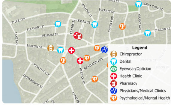
16th August 2018
Free Healthcare Data for Use with Maptitude 2018 Mapping Software
16th August 2018
Eos, LaserTech and Esri Introduce Laser Mapping Workflow15th August 2018
Hexagon expands Mining division’s channel program
15th August 2018
Martek Announce New Head of Counter-Drone Technology M.A.DS15th August 2018
UrtheCast Announce Term Sheet for Purchase of Geosys
15th August 2018
Remote Geo "Graduates" from Esri Startup to Silver Partner15th August 2018
The Danish Geodata Agency selects Teledyne CARIS15th August 2018
2018 URISA Exemplary Systems in Government Award Recipients Announced
14th August 2018
Garmin® expands cost-effective navigation databases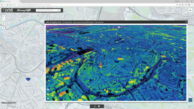
14th August 2018
Orbit GT releases free Esri ArcOnline Widget13th August 2018
Maxoptra and Geotab Integration Boosts Routing Precision
13th August 2018
Over 70% of exhibitors from the last show rebooked their stand
13th August 2018
ABPmer Appointed Designated Person for Langstone Harbour13th August 2018
KYOCERA manufactures new ultra-small robust ceramic UHF RFID Tags13th August 2018
Goonhilly and Spacebit to accelerate commercial space exploration
13th August 2018
Acquisition Of Data For Norway’s Mareano Seabed Mapping Programme
9th August 2018
Topcon Supports Major Improvement Works On The A14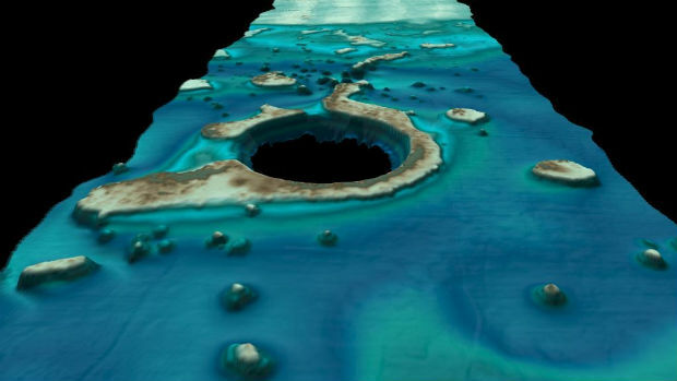
9th August 2018
Fugro’s New Ramms Technology Advances Bathymetric Lidar Mapping Capabilities9th August 2018
HERE location platform remains "undisputed" leader
9th August 2018
Orbit GT and CompassData Inc USA, sign Reseller Agreement9th August 2018
The DataBio project starts trials of 26 bioeconomy pilots9th August 2018
Airbus-built Aeolus satellite ready to take on the wind
9th August 2018
The First GRSG Oil & Gas Workshop Hailed a Great Success
9th August 2018
RIEGL a Founding Member of the World Geospatial Industry Council!9th August 2018
Blue Marble Announces Distinguished Speakers for User Conference
8th August 2018
Airbus Zephyr Solar High Altitude Pseudo-Satellite flies for longer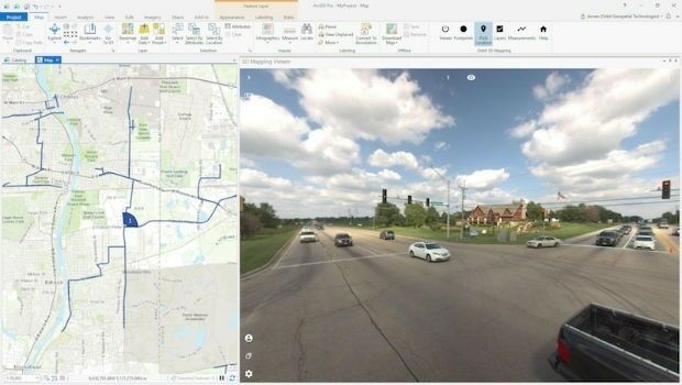
8th August 2018
Orbit GT releases free Esri ArcGIS Pro add-in
8th August 2018
Latest software release from Maptek supports 19,000 Vulcan users
8th August 2018
Bentley Announces Finalists in the Year in Infrastructure 2018 Awards