
Europa Technologies: finalist in prestigious insurance industry awards
10th July 2017
Europa Technologies: finalist in prestigious insurance industry awards10th July 2017
Europa Technologies: finalist in prestigious insurance industry awards6th July 2017
DAT/EM Systems International Updates Landscape Software6th July 2017
CompassCom to Release CompassTracker App at Esri User Conference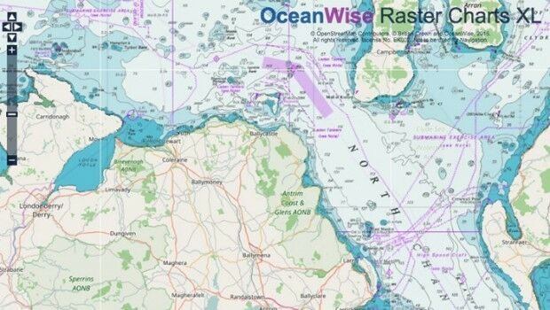
6th July 2017
Marine Mapping Agreement for Northern Ireland
29th June 2017
Free Business Location Data for Use with Maptitude Mapping Software28th June 2017
HERE partners with Mapillary to make better maps28th June 2017
CompassCom to Debut Solutions at Esri User Conference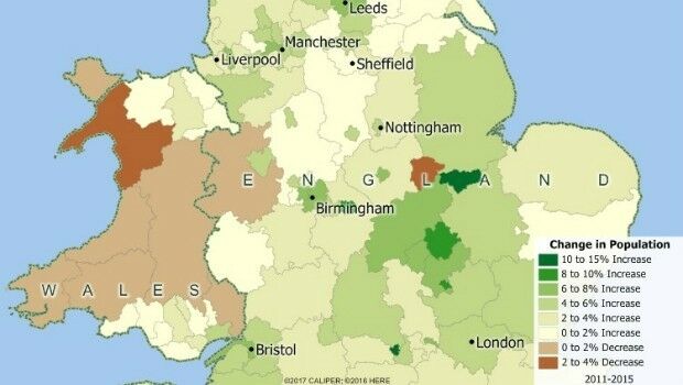
22nd June 2017
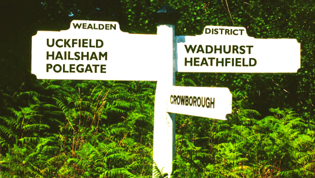
Cadcorp selected by Wealden District Council via G-Cloud for corporate GIS
22nd June 2017
Applanix Workshop on Direct Georeferencing for Airborne Mapping & Surveying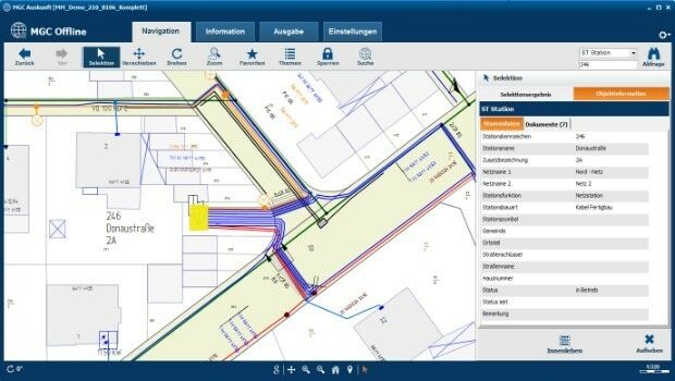
20th June 2017
Mettenmeier Integrates TatukGIS into MGC View Offline App
19th June 2017
KilletSoft converts Geodata for Navigation in free Map Services.
14th June 2017
University of the Punjab Selects SuperGIS Desktop 10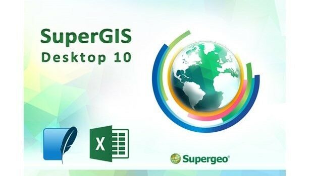
14th June 2017
Latest SuperGIS Desktop 10 Release Provides a Smoother Experience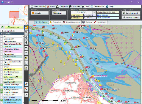
13th June 2017
Computer Aided Marine Contingency Planning System Developed7th June 2017
Learn the Basics of the ArcGIS Pro App from Esri5th June 2017
viaEuropa with Ordnance Survey base maps now on Tableau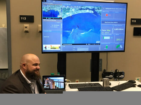
2nd June 2017
Faster and Safer Operations to Navy Missions2nd June 2017
ENERGIC OD: New Important Results In The Apps’ Development

1st June 2017
Esri Cited in Gartner Location Intelligence Software Forecast Snapshot31st May 2017
Mapmaker AND releases first High Definition Autonomous Vehicle Maps
23rd May 2017
New Features of SuperSurv 10 that You Cannot Ignore
17th May 2017
Ministry of Public Works of Indonesia Selects SuperSurv
15th May 2017
1Spatial releases dates for exciting FME World Tour, courses, webinars12th May 2017
Mobile Friendly Version of the GeoCalc Geodetic Registry Released
9th May 2017
Orbit GT updates 3D Mapping Cloud with faster Performance Measurements
3rd May 2017
Supergeo Releases the Latest Update of SuperGIS Desktop 3.3

2nd May 2017
Cadcorp launches Risk Modeller for Fire & Rescue Services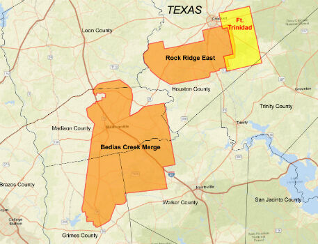
27th April 2017
CGG Delivers Reservoir-Oriented Data for Fort Trinidad in East Texas26th April 2017
Maptitude Mapping Software Team Provides Awards & Prizes
26th April 2017
Enjoying the High-Accuracy Positioning with the Latest SuperPad 10
19th April 2017
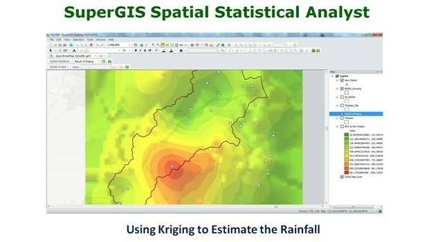
What’s New in the Next SuperGIS Spatial Statistical Analyst
13th April 2017
EarthSense Show Trees are Most Cost Effective Way of Tackling Urban Air Pollution
10th April 2017
GeoTools support precise NTv2 Solutions for Real Estate Cadastres
8th April 2017
Managing Data with Versioning in Upcoming SuperGIS Desktop
28th March 2017
Towards a More Integrated Web GIS Solution- SuperGIS Server 1028th March 2017
SuperGIS Desktop 10 Selected for GIS Courses in Kuwait University24th March 2017
Supergeo’s Online Tutorials for Network Analysis Released
24th March 2017
Next SuperSurv 10 Release Will Add Powerful Features20th March 2017
4 Ways Maptitude 2017 Saves You Time & Money
20th March 2017
Maxoptra’s Routing & Scheduling Solution is Purrrrrfect for Natures Menu