
Orbit GT and Instrumental Y Optica, Ecuador, sign Reseller Agreement
9th April 2018
Orbit GT and Instrumental Y Optica, Ecuador, sign Reseller Agreement
Updated Global Mapper Academic Labs Now Available
7th April 2018
Updated Global Mapper Academic Labs Now Available
1Spatial awarded contract by the European Union Satellite Centre
5th April 2018
1Spatial awarded contract by the European Union Satellite Centre
Bentley Systems’ Year in Infrastructure 2018 Conference and Awards Gala
4th April 2018
Bentley Systems’ Year in Infrastructure 2018 Conference and Awards Gala
SuperGIS Desktop Wins the Heart of Romanian Consulting Firms
28th March 2018
SuperGIS Desktop Wins the Heart of Romanian Consulting Firms
Maptitude 2018 Adds Enhanced MapPoint and Streets & Trips Features
26th March 2018
Maptitude 2018 Adds Enhanced MapPoint and Streets & Trips Features
GfK releases new digital maps for Germany, Austria and Switzerland
22nd March 2018
GfK releases new digital maps for Germany, Austria and Switzerland
Hexagon Joins British APCO as Platinum Member
21st March 2018
Hexagon Joins British APCO as Platinum Member
SCTX 2018: technology for greater security
19th March 2018
SCTX 2018: technology for greater security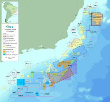
CGG Adds New Santos VIII Multi-Client Survey
16th March 2018
CGG Adds New Santos VIII Multi-Client Survey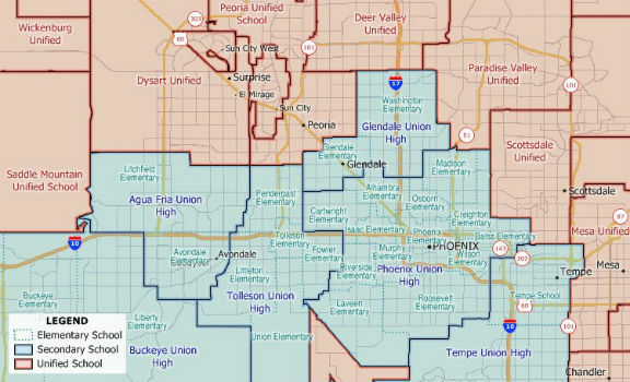
New 2018 School District Data for Maptitude Mapping Software
14th March 2018
New 2018 School District Data for Maptitude Mapping Software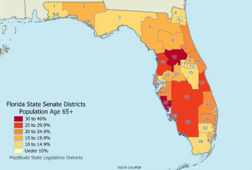
Maptitude 2018 USA Legislative and Congressional Districts
13th March 2018
Maptitude 2018 USA Legislative and Congressional Districts
Bentley Systems Issues Call for Submissions
8th March 2018
Bentley Systems Issues Call for Submissions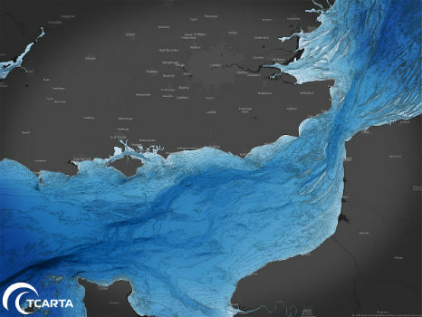
TCarta to Highlight Safety Benefits at Oceanology International 2018
8th March 2018
TCarta to Highlight Safety Benefits at Oceanology International 2018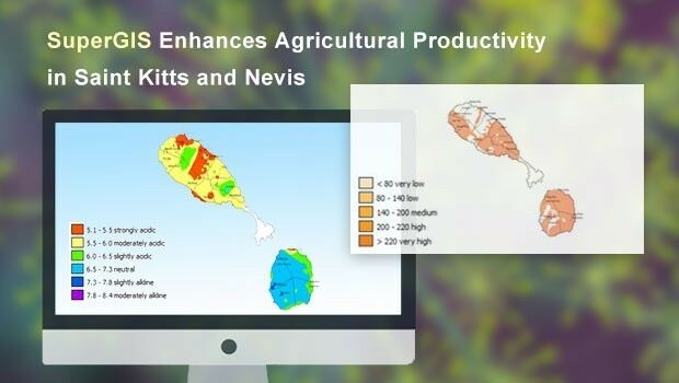
Supergeo Enhances the Agricultural Productivity in St. Kitts and Nevis
8th March 2018
Supergeo Enhances the Agricultural Productivity in St. Kitts and Nevis
Rezatec extends its global reach into Canada
7th March 2018
Rezatec extends its global reach into Canada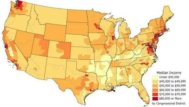
Data for Use with Maptitude for entire USA
6th March 2018
Data for Use with Maptitude for entire USA
Avenza Releases MAPublisher 10.1 For Adobe Illustrator
6th March 2018
Avenza Releases MAPublisher 10.1 For Adobe Illustrator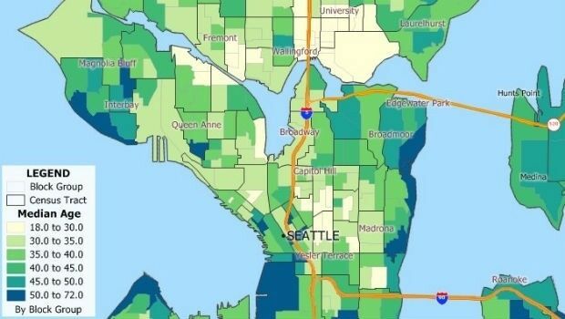

Course on mapping for disaster response and humanitarian projects
1st March 2018
Course on mapping for disaster response and humanitarian projects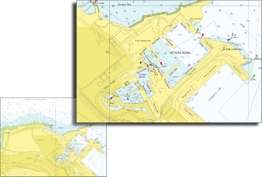
South African Nautical Charts Now Available from EVG
28th February 2018
South African Nautical Charts Now Available from EVG
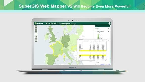
Zero-Coding Web GIS Designer - SuperGIS Web Mapper Update
22nd February 2018
Zero-Coding Web GIS Designer - SuperGIS Web Mapper Update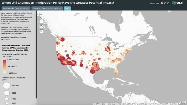
Esri Story Map Explores Communities Impacted by Immigration Changes
15th February 2018
Esri Story Map Explores Communities Impacted by Immigration Changes
Global Mapper v19.1 Now Available with New Features
14th February 2018
Global Mapper v19.1 Now Available with New Features
RegioGraph: 2018 update available end of March
13th February 2018
RegioGraph: 2018 update available end of March

thinkWhere Online Mapper Connects Aberdeen Bypass Project
8th February 2018
thinkWhere Online Mapper Connects Aberdeen Bypass Project
Esri Releases Operations Dashboard for ArcGIS
8th February 2018
Esri Releases Operations Dashboard for ArcGIS
NavVis sets new standard in SLAM precision
8th February 2018
NavVis sets new standard in SLAM precision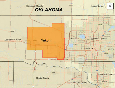
CGG Extends Oklahoma Coverage with Yukon Multi-Client Survey
6th February 2018
CGG Extends Oklahoma Coverage with Yukon Multi-Client Survey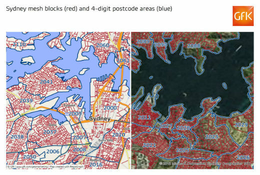
GfK releases new digital maps for Australia
6th February 2018
GfK releases new digital maps for Australia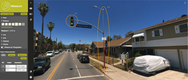
Orbit GT releases major update of 3D Mapping Cloud
4th February 2018
Orbit GT releases major update of 3D Mapping Cloud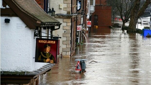
National flood map provides future climate change flood scenarios
1st February 2018
National flood map provides future climate change flood scenarios
New noise maps created for the German Federal Railway Authority
31st January 2018
New noise maps created for the German Federal Railway Authority
Boundless Launches Scalable Geospatial Server for the Enterprise
31st January 2018
Boundless Launches Scalable Geospatial Server for the Enterprise
Supergeo Offers Educational Site License at a Competitive Price
29th January 2018
Supergeo Offers Educational Site License at a Competitive Price
Swedish municipality Vansbro chooses Digpro
29th January 2018
Swedish municipality Vansbro chooses Digpro
GeoCalc SDK 7.4 Update Includes Support for New Functionality
24th January 2018
GeoCalc SDK 7.4 Update Includes Support for New Functionality
Work Hard, Play Hard at the 2018 Carlson ‘Go West’ User Conference
24th January 2018
Work Hard, Play Hard at the 2018 Carlson ‘Go West’ User Conference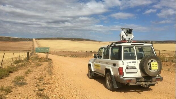
Getmapping launches Mobile Mapping Survey Solutions to southern Africa
16th January 2018
Getmapping launches Mobile Mapping Survey Solutions to southern Africa
Avenza Map Store Now Offers More Than 36,000 Maps
11th January 2018
Avenza Map Store Now Offers More Than 36,000 Maps
Developing Data Ecosystems with the 1Spatial FME World Tour
9th January 2018
Developing Data Ecosystems with the 1Spatial FME World Tour