Bluesky Photomaps Help Assess Risk from Trees on Holiday Island
14th July 2016
Bluesky Photomaps Help Assess Risk from Trees on Holiday IslandAerial imaging is revolutionizing the way we capture, analyze, and utilize geospatial data. Using high-resolution aerial photography and remote sensing technologies, it provides accurate and detailed visual information essential for mapping, environmental monitoring, infrastructure planning, and disaster response.
Modern aerial imaging solutions include manned aircraft, UAVs (drones), and satellite-based systems equipped with advanced sensors such as LiDAR, multispectral, and hyperspectral cameras. These technologies enable high-precision mapping, 3D terrain modeling, change detection, and real-time geospatial analysis, supporting industries such as urban planning, agriculture, forestry, defense, and construction.
With cloud-based processing, AI-powered image analysis, and real-time data streaming, aerial imaging continues to advance, offering faster, more accurate, and scalable solutions for GIS professionals and decision-makers.
GeoConnexion provides the latest insights on aerial imaging trends, innovations, and applications, helping professionals leverage aerial data for better spatial intelligence and operational efficiency.
14th July 2016
Bluesky Photomaps Help Assess Risk from Trees on Holiday Island13th July 2016
Hexagon Geospatial Launches Vegetation Health Smart M.Apps13th July 2016
Hexagon Geospatial Releases Power Portfolio 2016
12th July 2016
Leica Geosystems completes CAA qualifications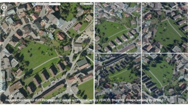
8th July 2016
Orbit GT and Vexcel Imaging, Austria sign Reseller Agreement
8th July 2016
The Truth About Drones in Construction and Infrastructure Inspection23rd June 2016
CompassDrone™ Your One-Stop-Shop for Drone Based Remote Sensing23rd June 2016
Bluesky Aerial Images Reveal Britain's Hidden Land for Mapmakers
16th June 2016
UAVAir calls businesses to take note of growing use of drones
16th June 2016
Age of Drones Expo is coming: first time in Hamburg, Germany15th June 2016
Local Authority Takes to the Air to Police Planning Permissions with Bluesky Aerial Maps
13th June 2016
Aero Surveillance announces a new version of its Octocopter ASV 30
10th June 2016
CartoConsult 3D maps add a creative edge to university prospectus9th June 2016
Bluesky’s 3D Laser Maps Inform BIM Projects7th June 2016
Bluesky Appoints Dr Simon Schuffert to Lead Software Innovation
6th June 2016
Wanted: Mobile Apps to Handle Big Data from Space.jpg)
31st May 2016
Unique Mapping Solution from ScientificAerospace and DroneMetrex27th May 2016
UK startup solves drone safety threat on a global scale20th May 2016
Bluesky Aerial Mapping Makes a Flying Start to 201619th May 2016
CartoConsult delivers instant Smart City models with web streaming18th May 2016
Harris Geospatial Solutions to Offer Icaros OneButton™ with ENVI®
16th May 2016
New tool supports Global Intelligence Community
13th May 2016
Second Women in Drones Event Planned for InterDrone
13th May 2016
Bluesky Data Supports Feasibility Study for New Village Development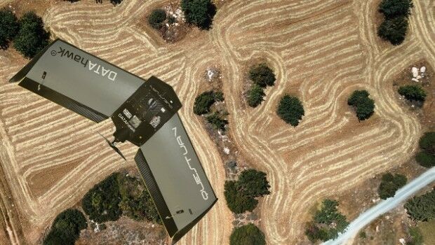
13th May 2016
QuestUAV complete reseller rollout of Q-100 DATAhawks11th May 2016
UAVAir train candidates for better standard of drone pilot graduates11th May 2016
Integration of Orion’s European Service Module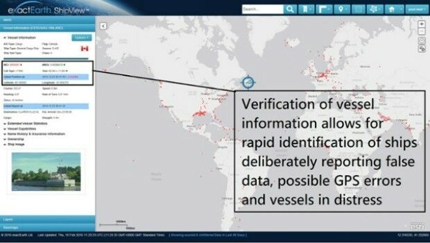
11th May 2016
Knowledge is Power- exactEarth Announces Vital New Information Service

9th May 2016
Free Drone Live-Demo at CAPIGI GeoAgri 2016
5th May 2016
Aerial Mapping Company Bluesky Announces Expansion
5th May 2016
Take Note of Recent Changes to Insurance Law, Urged by UAVAir
3rd May 2016
Introducing AeryonLive – the SaaS platform for UAS fleet management3rd May 2016
Airbus Defence and Space signs contract to build Biomass3rd May 2016
Diversified Communications Launches Commercial UAV News Site29th April 2016
CGG Enters into Agreement for the Sale of its Multi-Physics Business28th April 2016
DigitalGlobe to Provide WorldView-4 Access for a New Customer28th April 2016
DigitalGlobe Reports First Quarter 2016 Results27th April 2016
NCTech and Top Gear USA capture the Rubicon Trail in 360 degrees27th April 2016
Bluesky Aerial Photomap Definitive Information Resource for Irish Council
27th April 2016
Call for Speakers for North America’s Largest Commercial Drone Show