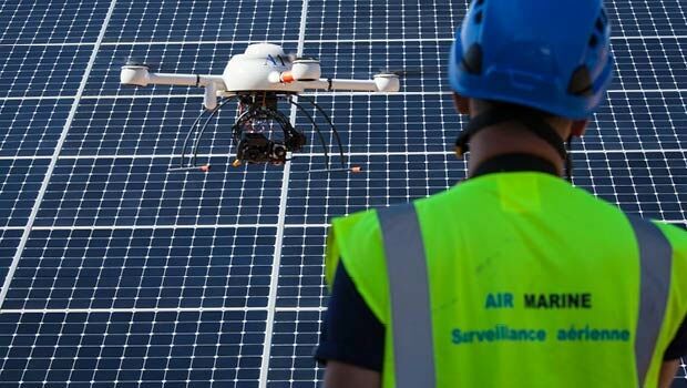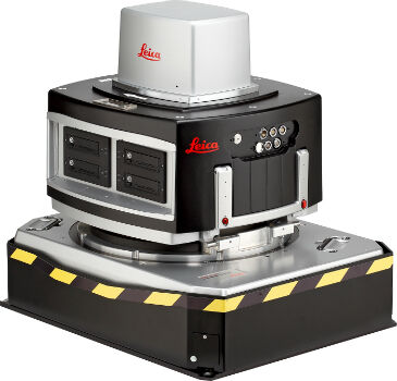
Leica Geosystems delivers 10th DMC III aerial camera
26th April 2016
Leica Geosystems delivers 10th DMC III aerial cameraAerial imaging is revolutionizing the way we capture, analyze, and utilize geospatial data. Using high-resolution aerial photography and remote sensing technologies, it provides accurate and detailed visual information essential for mapping, environmental monitoring, infrastructure planning, and disaster response.
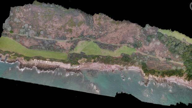
Modern aerial imaging solutions include manned aircraft, UAVs (drones), and satellite-based systems equipped with advanced sensors such as LiDAR, multispectral, and hyperspectral cameras. These technologies enable high-precision mapping, 3D terrain modeling, change detection, and real-time geospatial analysis, supporting industries such as urban planning, agriculture, forestry, defense, and construction.
With cloud-based processing, AI-powered image analysis, and real-time data streaming, aerial imaging continues to advance, offering faster, more accurate, and scalable solutions for GIS professionals and decision-makers.
GeoConnexion provides the latest insights on aerial imaging trends, innovations, and applications, helping professionals leverage aerial data for better spatial intelligence and operational efficiency.
26th April 2016
Leica Geosystems delivers 10th DMC III aerial camera26th April 2016
Juniper Unmanned and Pulse Aerospace Announce Business Partnership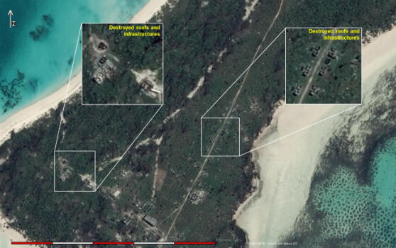
25th April 2016
Change Detection analysis of Farquhar Island after major hurricane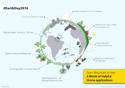
21st April 2016
Earth Day 2016: From mountain to sea, a world of helpful drone apps
21st April 2016
Bluesky 3D Photomaps Help Manage City’s Green Space19th April 2016
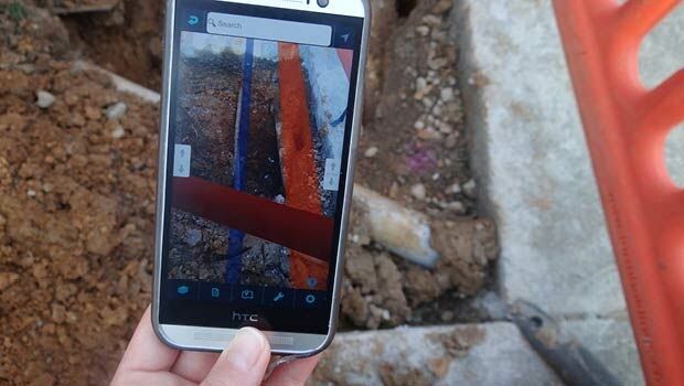
Yotta Helps Wigan Council Optimise Highways Asset Management3.jpg)
18th April 2016
Hexagon Geospatial Releases Power Portfolio 2016
15th April 2016
Topcon demonstrates Smart Working Tech at Geo Business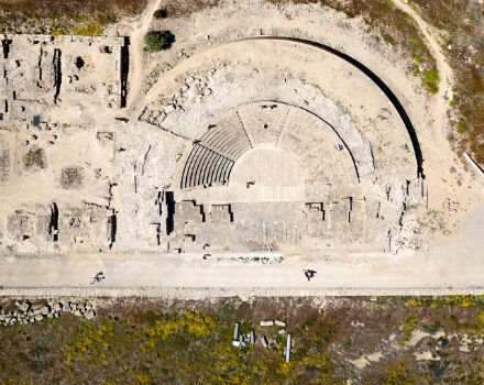
14th April 2016
World Heritage site surveyed by QuestUAV team14th April 2016
exactEarth Announce New Strategic Alliance with Larus Technologies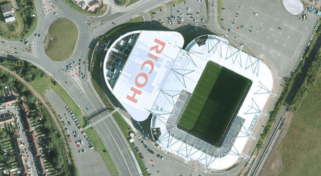
12th April 2016
Coventry Gets Sky Blue View with Bluesky Photomap12th April 2016
Inmarsat selects Kontron as key supplier for European Aviation Network5th April 2016
Sofradir space activities update - role in ExoMars mission1st April 2016
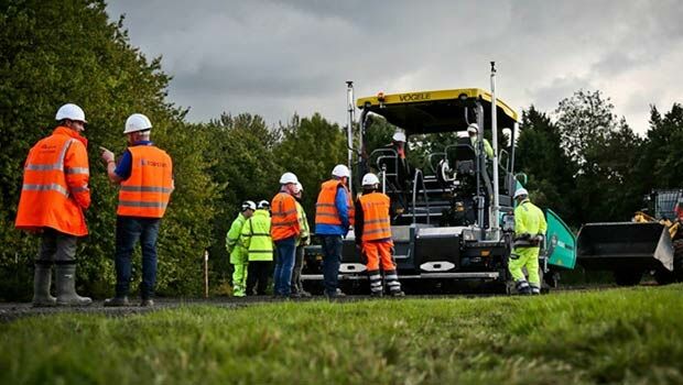
Cheshire East Highways Implements Yotta’s Horizons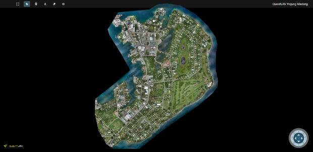
1st April 2016
QuestUAV's South Korean Partner maps Madang, Papua New Guinea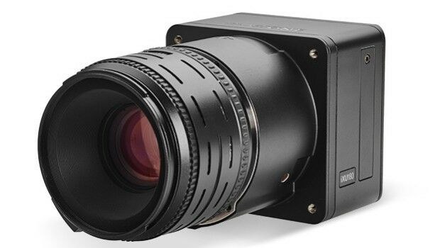
30th March 2016
Direct Georeferencing with Phase One iXU 150 Camera and POS AVX 210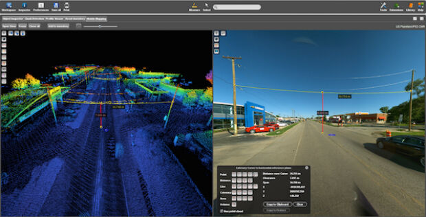
22nd March 2016
EARSC is now a GEO Participating Organization!


21st January 2016
INTERGEO: supporting Hamburg’s Smart City quest


7th January 2016
INTERGEO: the global hub for Geo business
7th January 2016
The future of disaster response management


28th October 2015
INTERGEO 2015 Review - Going global. Going great!