
EarthSense Systems Sponsors National Air Quality Award
3rd November 2016
EarthSense Systems Sponsors National Air Quality AwardAerial imaging is revolutionizing the way we capture, analyze, and utilize geospatial data. Using high-resolution aerial photography and remote sensing technologies, it provides accurate and detailed visual information essential for mapping, environmental monitoring, infrastructure planning, and disaster response.
Modern aerial imaging solutions include manned aircraft, UAVs (drones), and satellite-based systems equipped with advanced sensors such as LiDAR, multispectral, and hyperspectral cameras. These technologies enable high-precision mapping, 3D terrain modeling, change detection, and real-time geospatial analysis, supporting industries such as urban planning, agriculture, forestry, defense, and construction.
With cloud-based processing, AI-powered image analysis, and real-time data streaming, aerial imaging continues to advance, offering faster, more accurate, and scalable solutions for GIS professionals and decision-makers.
GeoConnexion provides the latest insights on aerial imaging trends, innovations, and applications, helping professionals leverage aerial data for better spatial intelligence and operational efficiency.
3rd November 2016
EarthSense Systems Sponsors National Air Quality Award3rd November 2016
Bentley Systems and Microsoft Join Forces2nd November 2016
Arup hosted British Information Modelling Event hailed a success31st October 2016
Yotta Drives Momentum for Horizons across UK Highways Authorities26th October 2016
ESNC Winner 2016: One Step Ahead of the Civilian Drone Market24th October 2016
HYPACK chose the Ellipse-D inertial navigation system20th October 2016
Bluesky Aerial Mapping Tech Helps Prevent Trees Falling onto Vital Infrastructure19th October 2016
Arithmetica Appoints point3D as North American Reseller of SphereVision 360 Imaging Software7th October 2016
Bluesky National Tree Map Helps Lichfield District Council Protect Trees6th October 2016
Arithmetica’s Pointfuse V2 to Power Point Cloud Conversion in Arena4D5th October 2016
senseFly to Unveil new RTK/PPK-Ready, Large Coverage Mapping Drone4th October 2016
Webinar: Manage Vegetation Encroachment and Utility Assets3rd October 2016
Arithmetica’s Latest SphereVision 360 Imaging Software Takes an Interactive View1st October 2016
Slovenian Airborne Police join best equipped police forces in Europe30th September 2016
Giving residents 24/7 access to council services in Salford28th September 2016
Bluesky’s Aerial Thermal Surveys Helps Enfield Identify Illegal Dwellings28th September 2016
Yotta Signs Strategic Partnership Agreement with LEHMANN + PARTNER22nd September 2016
UAVtechnics release FLIR drone with dual thermal/daylight view19th September 2016
Arup and KPF front panel at British Information Modelling Event19th September 2016
SCANFLY: the payload lidar not only for UAS!19th September 2016
Bluesky and University of Leicester Joint Venture to Tackle Air Pollution16th September 2016
MARSAT –Satellite Services for the Maritime Industry14th September 2016
MARSAT – Satellite Services for the maritime industry13th September 2016
Topcon announces enhancements to UAS packages11th September 2016
VisionMap Partners with Special Operations Solutions, LLC9th September 2016
East View Announces Availability of Newest LandScan Database7th September 2016
Bluesky Publishes First Online 3D Maps of Isle of Man6th September 2016
Yotta Wins Deal to Extend Horizons Contract with Amey6th September 2016
Phase One Industrial Innovates Four Band Aerial Imaging6th September 2016
Phase One Industrial Launches iXU-RS Aerial Camera Series5th September 2016
Aibotix - All-new UAV solutions for your business
1st September 2016
Topcon helps National Trust woodland restoration take wing1st September 2016
Cardinal Systems adds new UAS module to the Vr Mapping Software
23rd August 2016
TomTom VIA: Satnav Reliability with Real-Time Smarts of a Phone18th August 2016
Bluesky Aerial Photomaps Feature in Channel 4's ‘Inside Out Homes’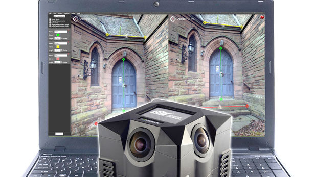
11th August 2016
New SphereVision 360 Imaging Software Integrates iSTAR Measurement Module
6th August 2016
Point Greys New Spinnaker SDK Leverages GenICam3
5th August 2016
160 Commercial Drone Companies Showcase UAV Technology at InterDrone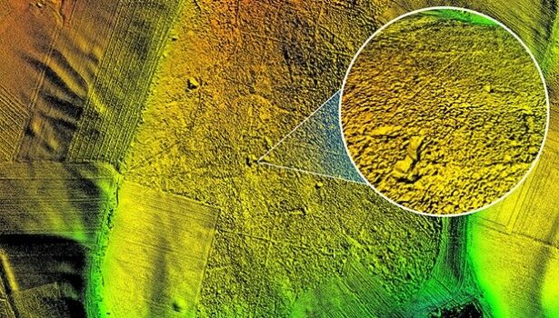
4th August 2016
Bluesky aerial laser maps reveal Battle of the Somme secrets for TV show
28th July 2016
Bluesky Geospatial Joins Ireland’s Growing Geographic Information Industry
22nd July 2016
Bluesky Provides a Bird’s Eye View of the Goodwood Festival of Speed
18th July 2016
QuestUAV Provides Own PPK Solution For Q-200 Surveyor UAV