
GSSI Announces Flexible, Configurable Ground Penetrating Radar System
22nd June 2016
GSSI Announces Flexible, Configurable Ground Penetrating Radar SystemThe 2D and 3D measurement of points, distances and angles of features and objects on the Earth’s surface. See also Surveying Instrumentation topic. This topic covers the science and techniques that govern the 2D and 3D measurement of points, distances and angles of natural and man-made features and objects on the Earth’s surface. These measurements are acquired for a wide range of practical applications in construction, engineering, land use planning, mapmaking and cadastral projects, See also Surveying Instrumentation topic for the various tools employed to acquire survey measurements.
22nd June 2016
GSSI Announces Flexible, Configurable Ground Penetrating Radar System22nd June 2016
Hemisphere GNSS Announces New Eclipse Positioning OEM Boards21st June 2016
Spirent Announces World’s Smallest 16-bit Record and Playback System
21st June 2016
Fugro Deploys Q1400 Trenchers at Three North Sea Oil and Gas Projects21st June 2016
Small Vessel Tracking Trials, a Success in South Africa
21st June 2016
GeoKylia and IGN present the GEOCUBE system


15th June 2016
Leica Geosystems establishes georadar portfolio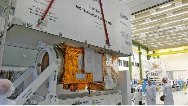
15th June 2016
Airbus Defence and Space completes second Copernicus "Eye"15th June 2016
Local Authority Takes to the Air to Police Planning Permissions with Bluesky Aerial Maps
15th June 2016
Fugro Secures Geotechnical Site Investigation Contract14th June 2016
Hexagon Unveils Latest Intergraph Computer-Aided Dispatch Software14th June 2016
exactEarth and DigitalGlobe Partner to Combat IUU Fishing

13th June 2016
Aero Surveillance announces a new version of its Octocopter ASV 3010th June 2016
Meet the Geode™—A Rugged Sub-Meter GNSS Receiver
9th June 2016
Bluesky’s 3D Laser Maps Inform BIM Projects
8th June 2016
Merrick-Surdex JV Awarded Contract with USGS
7th June 2016
Leica Lino ML180 saves costs with smart one-man operation4th June 2016
SonarMite™ Drivers now Available for Trimble Access Field Software4th June 2016
Seafloor adds a Second Reson SeaBat T50-P MBES to Rental Pool
1st June 2016
Fugro to play Key Role in Norway's Coastal Highway Improvement Programme
31st May 2016
SeaRobotics Delivers Bathymetric Unmanned Surface Vehicles to China30th May 2016
Gexcel at the 3D Faro User Conference Asia Pacific 2016
27th May 2016
Juniper Systems Announces New Windows 10 Rugged Tablet: Mesa 2™
23rd May 2016
FOCUS 35 Total Station Monitors Dam For Movement19th May 2016
Topcon announces integration agreement with Volvo CE18th May 2016
Septentrio Introduces “Future Proof” GNSS RTK Technology for Surveyors18th May 2016
Harris Geospatial Solutions to Offer Icaros OneButton™ with ENVI®18th May 2016
USGIF Launches Universal GEOINT Certification Program

17th May 2016
Handheld Introduces its First Intrinsically Safe Ultra-Rugged Computer
16th May 2016
Horizon Launch High Spec Nearshore Survey Boat13th May 2016
Bluesky Data Supports Feasibility Study for New Village Development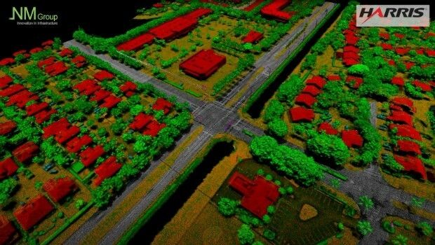
12th May 2016
NM Group collaborate with Harris Corporation

11th May 2016
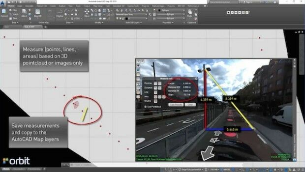
Orbit GT launches AutoCAD MAP plugin for Mobile Mapping
11th May 2016
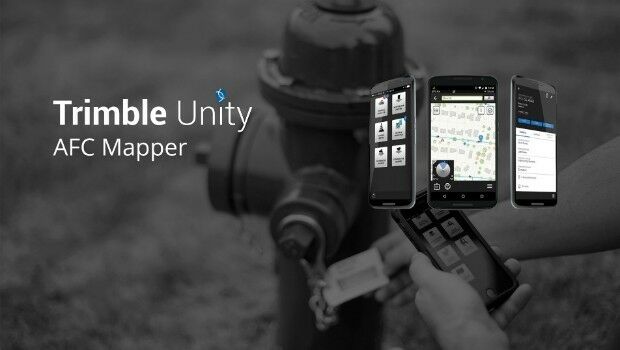
Trimble Free App for AMERICAN Flow Control Water Valves and Hydrants
10th May 2016
Radiodetection launches new Ground Penetrating Radar systems