
TWO German control centres select FREQUENTIS
15th May 2018
TWO German control centres select FREQUENTIS
15th May 2018
TWO German control centres select FREQUENTIS
15th May 2018
SimActive Software Saving Hours for DJI Drone Surveys
14th May 2018
senseFly user conference aims to optimize drone operations14th May 2018
Airbus CyberSecurity brings its expertise to EU funded Brain-IoT Project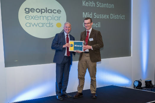
14th May 2018
GeoPlace announces winners of the 2018 Exemplar Awards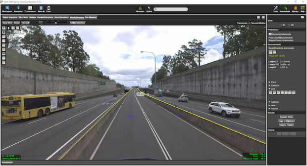
14th May 2018
Orbit GT 18.1.2 upgrade 3D Mapping Feature Extraction portfolio
14th May 2018
Goonhilly lands £24m investment enabling global expansion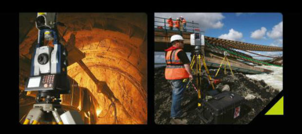
11th May 2018
Instrumentation at the Heart of Monitoring Solutions at GEO Business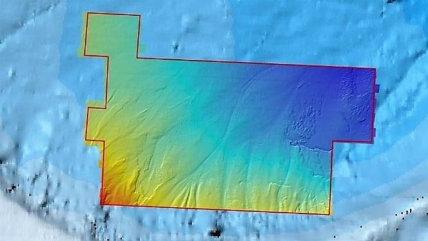
11th May 2018
Fugro Reports Successful Licensing Of Seep And Geochemical Data
11th May 2018
GEO Business set to break records in just over a week
11th May 2018
GEO Business set to break records in just over a week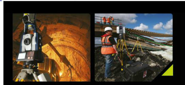
10th May 2018
Laser Scanning: the 21st Century Tool of Choice at GEO Business 201810th May 2018
Pitney Bowes Re-engineers Desktop Mapping & Location Intelligence
10th May 2018
CSA Implements Innovative Technology for Tracing Sewage Outfalls
10th May 2018
Users Can Now Access ArcGIS Data in Microsoft Power BI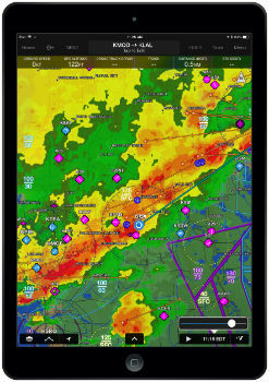
9th May 2018
Garmin Pilot iOS incorporates new weather features
9th May 2018
Earth Observation Exploitation Platform Domain Working Group
9th May 2018
From liability to asset - why your data matters
9th May 2018
Landmark appoints new Head of Artificial Intelligence
9th May 2018
Fleetcheck Teams Up With Ctrack To Support Connected Fleet Management
9th May 2018
Geospatial Insight build visual intelligence solutions
9th May 2018
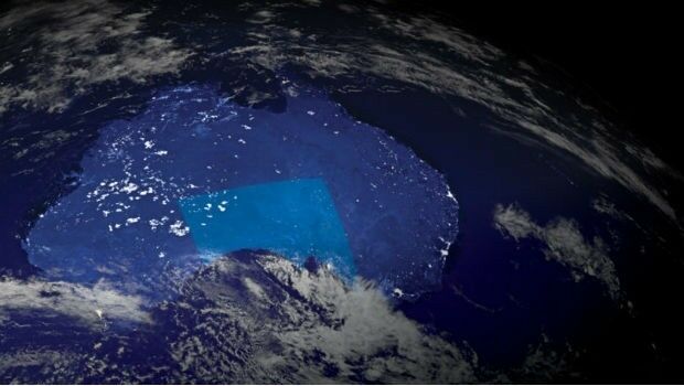
Sentinel-3B starts delivering on its promise.jpg)
9th May 2018
Geo-data experts pinpoint Birmingham for GeoPlace’s annual conference
9th May 2018
Data Gateway brings powerful data validation and processing via a self-serve, training-free experien
8th May 2018
Maptitude Team Provides Sponsorship for Applied Geography Conferences
8th May 2018
Exciting toolkit of technologies on display at GEO Business 2018
8th May 2018
Unifly supports UNICEF's humanitarian drone corridor
8th May 2018
GEO|Design+BIM 2018 Opens Call for Speakers
8th May 2018
MilSatCom USA Conference Agenda has been Updated7th May 2018
Boundless Continues its Commitment to the Open Source Community7th May 2018
GPI Geospatial Purchases RIEGL VQ-1560i Airborne LiDAR System!
7th May 2018
OGC seeks public comment on new Interoperable Simulation


4th May 2018
MapAction GIS volunteers to join Royal Wedding celebrations4th May 2018
Wet Infrastructure Summit and Future Drainage Abu Dhabi Conference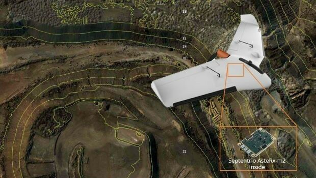
4th May 2018
Septentrio supplies AsteRx-m2 for Delair UX11 large-area mapping UAV
4th May 2018
Sponsorship for MGGG Geometry of Redistricting Workshops
4th May 2018
OGC announced as official partner of Earth Challenge 2020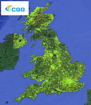
4th May 2018
CGG Launches New MotionMap UK National Ground Stability Database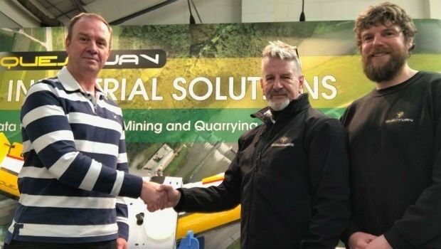
4th May 2018
QuestUAV Closes deal to Map World’s Largest Construction Project

4th May 2018
ISPS Code Fails To Contemplate Aerial Threats From Drones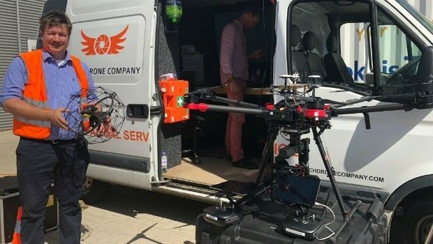
3rd May 2018
Australian states line up for slice of national space agency