
GEO Business 2018 reveal brand new seminar and workshop programme
11th April 2018
GEO Business 2018 reveal brand new seminar and workshop programme
11th April 2018
GEO Business 2018 reveal brand new seminar and workshop programme10th April 2018
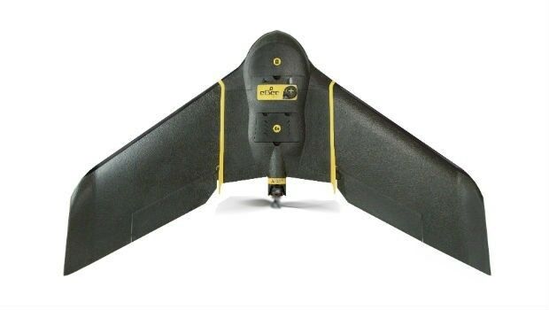
More than a Dozen Federal Agencies to Present at GEOINT 201810th April 2018
Explore What's in Store for You at the World’s Largest GIS Event_2017_21AT_Image_All_rights_reserved_-_Distribution_Airbus_DS.jpg)
10th April 2018
Airbus further strengthens its Earth observation imagery portfolio10th April 2018
A new generation of high precision multispectral sensor
10th April 2018
TSA Members welcome SmartWater’s response to equipment theft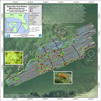
.jpg)
10th April 2018
First Purpose-built Rugged Tablet with Scientific-grade GNSS
9th April 2018
Digital Construction Week Call-for-Papers Deadline Approaches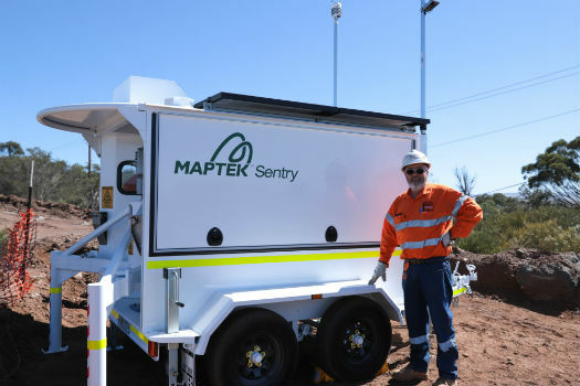
9th April 2018
Maptek showcases Sentry world-class monitoring system
9th April 2018
Orbit GT and Instrumental Y Optica, Ecuador, sign Reseller Agreement9th April 2018
Esri and UNOSAT Host GIS for a Sustainable World Conference9th April 2018
UK BIM Alliance Product Data Working Group Confirmed8th April 2018
International Scientific Expedition to Weddell Sea Announced
7th April 2018
Updated Global Mapper Academic Labs Now Available6th April 2018
GSSI Announces New Sales Restructuring to Better Serve Customers6th April 2018
CGG Launches First Lien Senior Secured Notes Offering6th April 2018
CGG Launches First Lien Senior Secured Notes Offering5th April 2018
Inaugural European Drone Summit in Frankfurt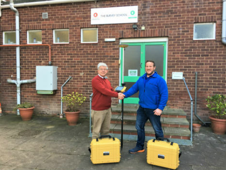
5th April 2018
Topcon Commitment To Closing The Skills Gap With Survey School5th April 2018
GeoSpock Bolsters C-suite Team as Part of Scale-up Plan.jpg)
4th April 2018
Fugro Returns To Hollandse Kust Wind Farm Zone
4th April 2018
Bentley Systems’ Year in Infrastructure 2018 Conference and Awards Gala
3rd April 2018
senseFly and Trimble optimize workflow for geospatial drone operators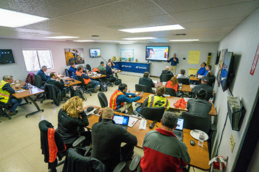
3rd April 2018
Topcon and Bentley to hold collaborative Constructioneering Academy3rd April 2018
East View Geospatial Launches On-Demand Milspec Geospatial Data
30th March 2018
Hemisphere GNSS Appoints Jeffrey Farrar as Senior Sales Manager
30th March 2018
Simple and Essential Telematics Device for Fleet Management
30th March 2018
Topcon introduces new laser series designed for distance and accuracy
30th March 2018
Fugro boosts efficiency of super sewer site characterisation
30th March 2018
OGC seeks public comment on version 1.1 of CDB standard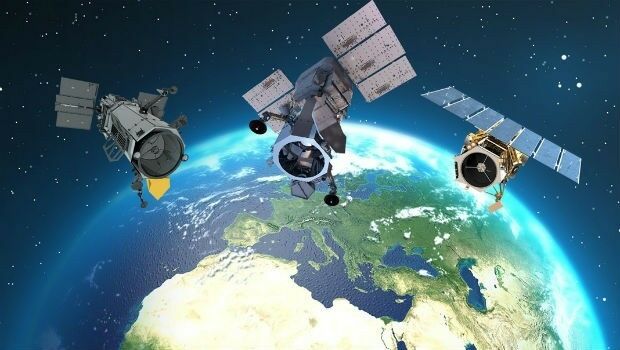
30th March 2018
Copernicus Data Warehouse Offers 40 cm Imagery

29th March 2018
ERM Advanced Telematics helps automobile dealers retrieve vehicles
29th March 2018
Pix4D announces Pix4Dfields, dedicated product for agriculture
29th March 2018
CSA and HWCG Deliver Rapid Monitoring Solution for O&G Operators28th March 2018
Tracking technology leads to Police arrests and recovery


28th March 2018
Copernicus Masters 2018 Submissions Open 1 April28th March 2018
9th IGRSM International Conference and Exhibition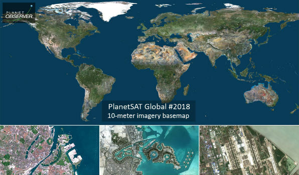
28th March 2018
PlanetObserver Announces Release of PlanetSAT Global Imagery Basemap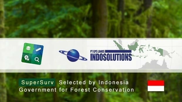
28th March 2018
SuperSurv Selected by Indonesian Agency for Forest Conservation28th March 2018
9th IGRSM International Conference and Exhibition