
ELWAG Project announced to advance autonomous vehicle positioning
3rd May 2018
ELWAG Project announced to advance autonomous vehicle positioning3rd May 2018
ELWAG Project announced to advance autonomous vehicle positioning
3rd May 2018
Fugro and KAUST To Train Saudi Students In Marine Technology
3rd May 2018
Maptitude Mapping Software Team Provides Awards & Prizes3rd May 2018
Aptiv Launches Fleet of Autonomous Vehicles on the Lyft Network
2nd May 2018
PTV Transport Consult GmbH counts among Germany's top consultants2nd May 2018
Boundless Exchange Now Available as Managed Offering in the Cloud2nd May 2018
New Rugged Atlas®-Capable UAV GNSS Antenna from Hemispere GNSS
2nd May 2018
Free Drone Strategy Sessions Available to UK Surveying Businesses
2nd May 2018
OGC calls for Sponsors of a major Innovation Initiative, Testbed 151st May 2018
Bentley Systems Invites Members of the Press and Industry Analysts1st May 2018
GeoSpock launches unique location intelligence platform
1st May 2018
Space Forum 2018: From Space Application To Space Exploration1st May 2018
Esri Joins Smart Cities New York 2018 Conference
30th April 2018
OGC Calls for Sponsors for Maritime Limits and Boundaries Pilot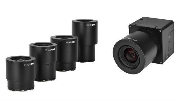
30th April 2018
Phase One Industrial Innovates UAV-based Aerial Imagery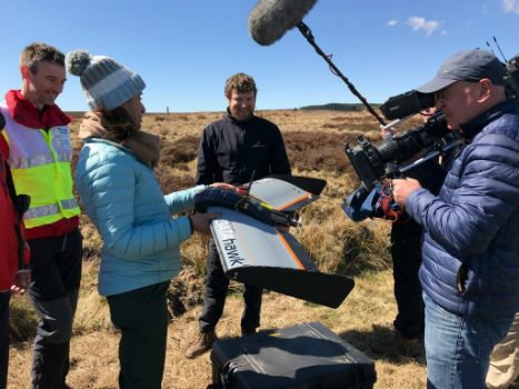
27th April 2018
QuestUAV showcasing on BBC One’s Countryfile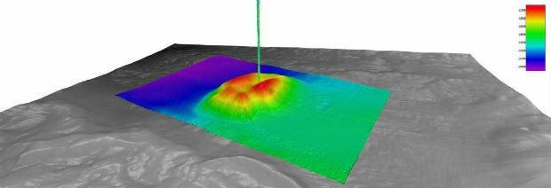
27th April 2018
Fugro Provides Seep Hunting Expertise Offshore Brazil
27th April 2018
First International Satellite-Derived Bathymetry Conference Announced26th April 2018
Autotalks Joins the Connected Motorcycle Consortium26th April 2018
Fugro’s Award-Winning Expertise at OTC 2018
26th April 2018
Submit Your Work for Display in the Esri UC Map Gallery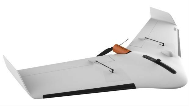
26th April 2018
Delair Announces Availability of UAV for Geospatial Professionals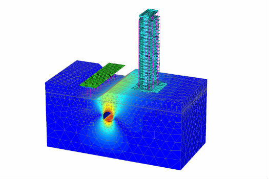
26th April 2018
Bentley Systems Acquires Plaxis, and Complementary SoilVision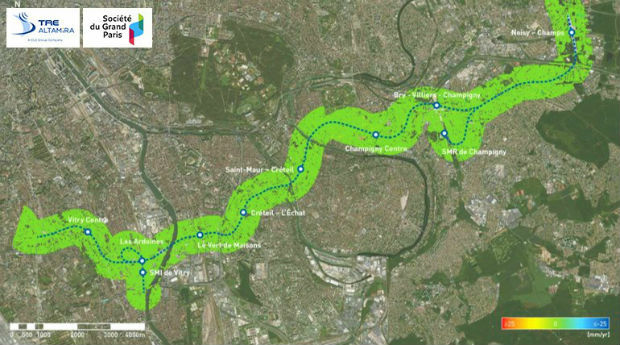
26th April 2018
Grand Paris Express: first results of satellite monitoring26th April 2018
Captains of industry accept position in Unifly advisory board26th April 2018
Esri's Developer Technology Supports Situational Awareness Workflows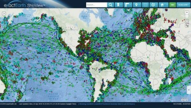
25th April 2018
Major Upgrades to exactEarth's Vessel Tracking Platform
25th April 2018
Place & Location Technologies at heart of GEO Business Conference
25th April 2018
GEO Business conference welcomes geospatial experts in May
24th April 2018
ArcGIS Pro Workstation Customized for the Intelligence Community
24th April 2018
3DUserNet announced today the release of their first generation API.24th April 2018
Geovation reveals next wave of GeoTech and PropTech businesses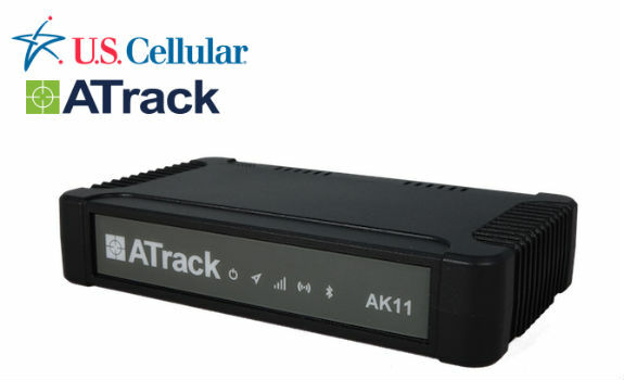
24th April 2018
ATrack AK11 LTE Fleet Hub Certified on U.S. Cellular Network
24th April 2018
Wingtra launches a drone that sets a new benchmark in photogrammetry
24th April 2018
Hemisphere GNSS Announces Family of Rugged Handheld Devices
24th April 2018
Creaform and Metrologic Group announce Worldwide Partnership Agreement
23rd April 2018
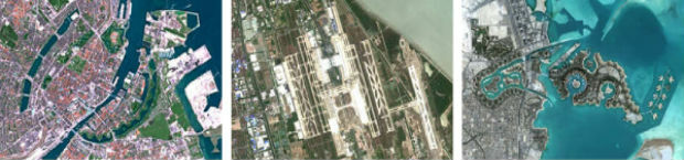
East View Geospatial Now Offering PlanetSAT 10-meter Global Mosaic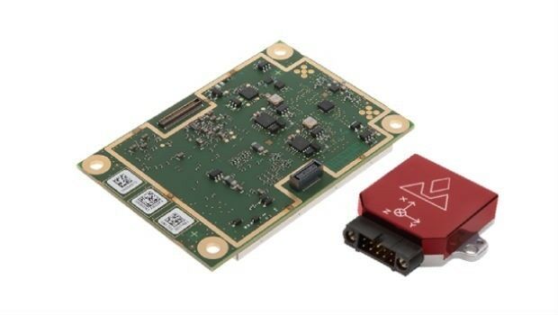
23rd April 2018
Introducing the new AsteRx-i for IMU-enhanced GNSS positioning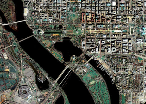

23rd April 2018
Topcon announces upcoming MAGNET Enterprise release
23rd April 2018
Topcon announces new modular 3D machine control excavation system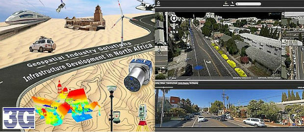
23rd April 2018
Orbit GT and 3G-Consult, Tunisia, sign Reseller Agreement23rd April 2018
Hemisphere GNSS' Flexible & Scalable GradeMetrix™ Toolkit
21st April 2018
Fugro’s Ultra-Deepwater Surveys Support Seabed Mining Exploration