Orbit GT shows automated Feature Extraction tools at SPAR, Houston.
11th April 2016
Orbit GT shows automated Feature Extraction tools at SPAR, Houston.
11th April 2016
Orbit GT shows automated Feature Extraction tools at SPAR, Houston.6th April 2016
The new version 6.1 of the PHOTOMOD software family has been released5th April 2016
NCTech unveils new 360 degree imaging developments for iSTAR camera5th April 2016
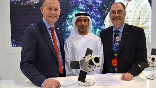
Sofradir space activities update - role in ExoMars mission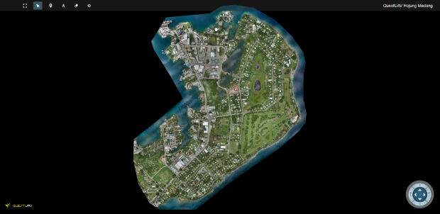
1st April 2016
QuestUAV's South Korean Partner maps Madang, Papua New Guinea31st March 2016
Airbus Defence and Space to Enhance Qatar Armed Forces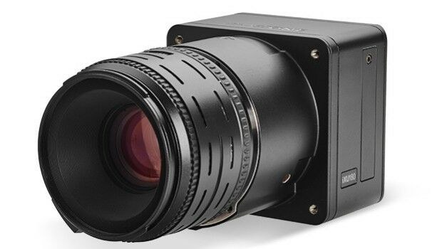
30th March 2016
Direct Georeferencing with Phase One iXU 150 Camera and POS AVX 210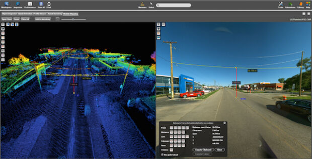
29th March 2016
Commercial UAV Expo Issues Free Report: Surveying and Mapping with UAVs
25th March 2016
Space solutions for smarter mobility – 1-day workshop24th March 2016
ULA Atlas V Rocket lifts off with 3D Printed Parts24th March 2016
Trimble Seismic Navigation Systems for Geophysical Exploration23rd March 2016
Strong Support for Commercial UAV Expo 2016
23rd March 2016
Launch Of Utility Training Academy For Unmanned Aerial Systems
23rd March 2016
Ben Nevis gains a metre thanks to GPS height measurement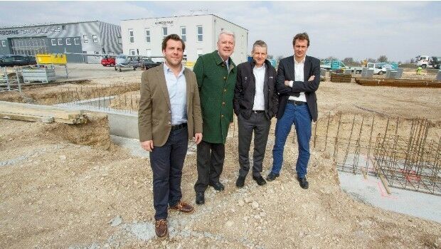
22nd March 2016
Ground-breaking ceremony at Airborne Technologies
22nd March 2016
Airbus D&S instruments for James Webb Space Telescope get thumbs-up


21st January 2016
INTERGEO: supporting Hamburg’s Smart City quest


7th January 2016
INTERGEO: the global hub for Geo business

28th October 2015
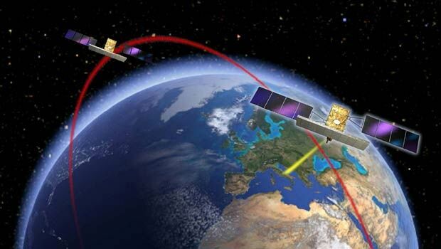
Bringing high-res SAR Earth Observation imagery to the UK


28th October 2015
INTERGEO 2015 Review - Going global. Going great!


26th June 2015
Copernicus: launching companies, not just satellites