
CartoPac Unveils Barcode Scanner for Gas Utility Pipeline Mapping
27th April 2017
CartoPac Unveils Barcode Scanner for Gas Utility Pipeline Mapping
27th April 2017
CartoPac Unveils Barcode Scanner for Gas Utility Pipeline Mapping27th April 2017
GAF and partners awarded contract to map European riparian zones27th April 2017
Digpro strengthens the management team with new skills
27th April 2017
Speaker Line-up Announced for Third British Information Modelling Event
27th April 2017
Esri's Dr. Dawn Wright to Discuss Mapping the Ocean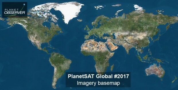
27th April 2017
PlanetObserver announces release of PlanetSAT Global imagery basemap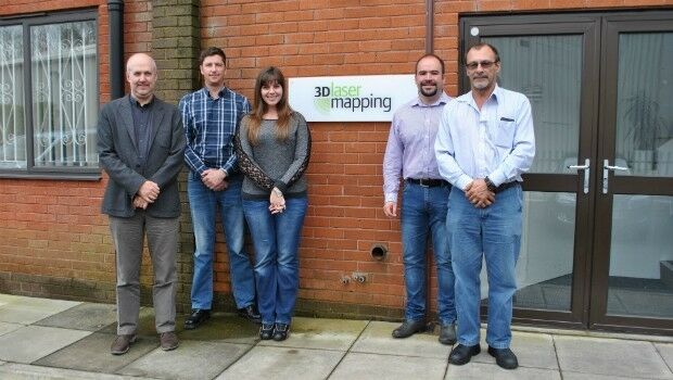
27th April 2017
3D Laser Mapping Mines Good Fortunes in Africa26th April 2017
Maptitude Mapping Software Team Provides Awards & Prizes26th April 2017
Esri to Showcase Advanced Developer Tools at TechCrunch Disrupt NY26th April 2017
Supergeo’s New Reseller Program Provides More Flexibility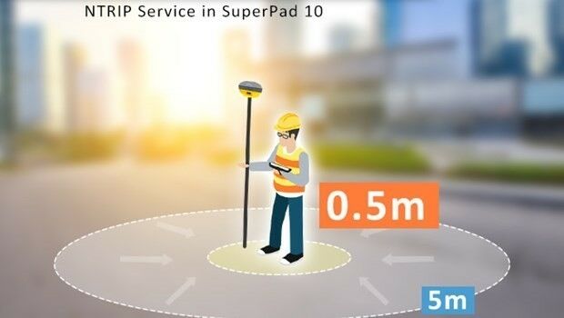
26th April 2017
Enjoying the High-Accuracy Positioning with the Latest SuperPad 10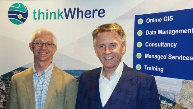
25th April 2017
10 years of providing expertise throughout the UK by thinkWhere25th April 2017
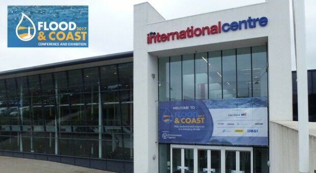
RENEXPO® Water and Energy starts on Tuesday, April 25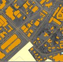
24th April 2017
East View Geospatial Announces Training Data Library
24th April 2017
GEO Business 2017 Unmissable Conference Line Up24th April 2017
New release of global data suite from Europa Technologies24th April 2017
Improving the Usability of Geospatial Data
20th April 2017
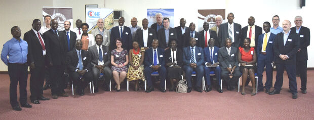
Geodata access for African resource development
19th April 2017
GeoPlace annual conference – “Why I hate addresses” and all that19th April 2017
Blue Marble Releases Geographic Calculator 2017
19th April 2017
SuperSurv Selected by Agricultural Company Socfinco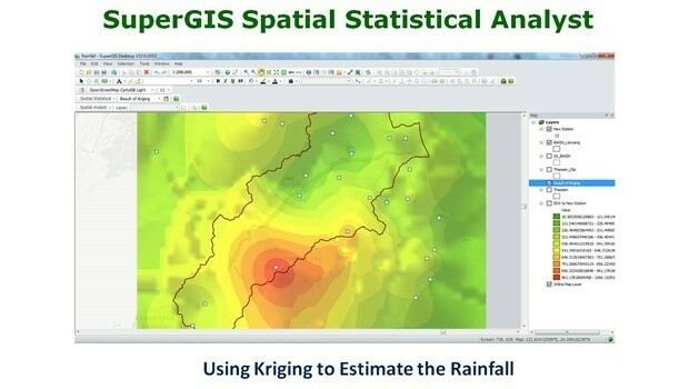
19th April 2017
What’s New in the Next SuperGIS Spatial Statistical Analyst
18th April 2017
Mike Osborne Wins AMSI Council Business Person of the Year 2017 Award
18th April 2017
Distribution of WorldView-4 satellite imagery in Europe begins18th April 2017
Trumbull Unmanned Using SimActive for Emergency Response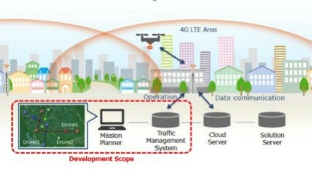
14th April 2017
KDDI and Terra Drone announce the invention of “4G LTE control system13th April 2017
USGIF Launches Initiative to Grow GEOINT Workforce in St. Louis
13th April 2017
thinkWhere appoints Jumpstart's Brian Williamson as chair13th April 2017
GeoSmart adds Ambiental data to enhance its Flood Risk Assessments
12th April 2017
Vertical Images: from film making to inspection12th April 2017
Ordnance Survey invites you to have a Wild Night Out
12th April 2017
KPF Joined by HOK, OS and Unit9 for Third British Information Modelling Event10th April 2017
what3words Launches Addressing System in Arabic.jpg)
9th April 2017
6 major construction companies adopt new BIM monitoring solution
8th April 2017
Managing Data with Versioning in Upcoming SuperGIS Desktop
8th April 2017
Taxation Authority in Indonesia Selects SuperPad 3.3 to Collect Data
8th April 2017
Intranet web mapping to South Gloucestershire Council
7th April 2017
Cambridge Conference 2017 - Mapping Nations: The Next Decade
7th April 2017
Arithmetica Reveals New Pointfuse Point Cloud 3D Modelling Software6th April 2017
1Spatial Technology Makes German Mapping Authorities 40% Faster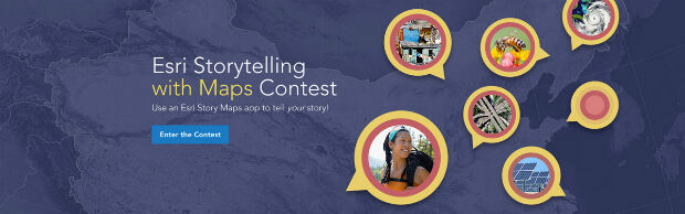
5th April 2017
Esri Announces 2017 Storytelling with Maps Contest5th April 2017
Avineon Announces Head Start Initiative for Esri Utility Network5th April 2017
OGC appoints Dr. Luis Bermudez to head OGC Innovation Program