.jpg)
Digpro is growing and appoints a new Marketing Manager
5th April 2017
Digpro is growing and appoints a new Marketing Manager
5th April 2017
Digpro is growing and appoints a new Marketing Manager4th April 2017
Cyient partners with Amdocs to deploy GE's GIS, Smallworld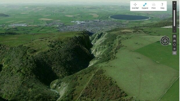
3rd April 2017
Explore Great Britain with OS’s ultimate adventure planning tool2nd April 2017
Blue Marble Adds Flat Earth Support to Geographic Calculator2nd April 2017
National Geospatial-Intelligence Agency Selects Esri_across_Leeds_at_Lower_Super_Output_Area_together_with_the.jpg)
2nd April 2017
Understanding local populations between censuses in Leeds31st March 2017
Solent Mind's training room receives a makeover
30th March 2017
Leica Geosystems opens nominations for Carl Pulfrich Award 201730th March 2017
CGG GeoConsulting Awarded Multi-Year Integrated Geoscience Study
29th March 2017
OGC requests public comment on proposed GeoRSS Community Standard29th March 2017
Trimble Incorporates Galileo Support in New Version of GNSS Software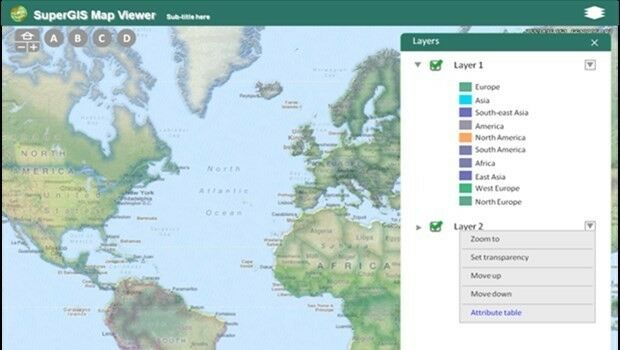
28th March 2017
Towards a More Integrated Web GIS Solution- SuperGIS Server 10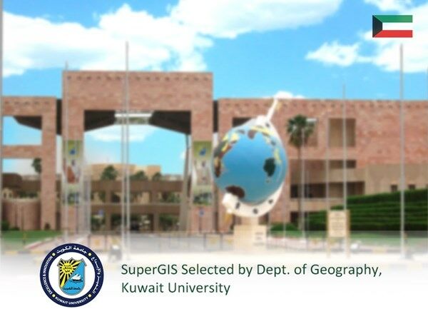
28th March 2017
SuperGIS Desktop 10 Selected for GIS Courses in Kuwait University27th March 2017
Charter rate reduction of CGG’s operated fleet:
24th March 2017
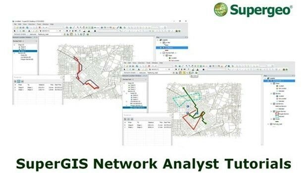
Supergeo’s Online Tutorials for Network Analysis Released
24th March 2017
Next SuperSurv 10 Release Will Add Powerful Features23rd March 2017
Kaspersky Industrial CyberSecurity for Energy boosts protection
23rd March 2017
Advances in Digital Agriculture at Digital Earth & Locate17
22nd March 2017
Hexagon Mining selects downtown Tucson, AZ for headquarters21st March 2017
Esri Teams with IBM to Offer Cutting-Edge Spatial Analytics
21st March 2017
5 GOOD REASONS to follow Pix4D on Social Media21st March 2017
The ‘control room of the future’ is here to help police keep you safe
20th March 2017
Northumbrian Water's Transferred Drains and Sewers Project Boosted20th March 2017
4 Ways Maptitude 2017 Saves You Time & Money20th March 2017
Digpro chosen by yet another Norwegian energy company20th March 2017
Greg Bentley to Hold Press Conference at SPAR 3D Expo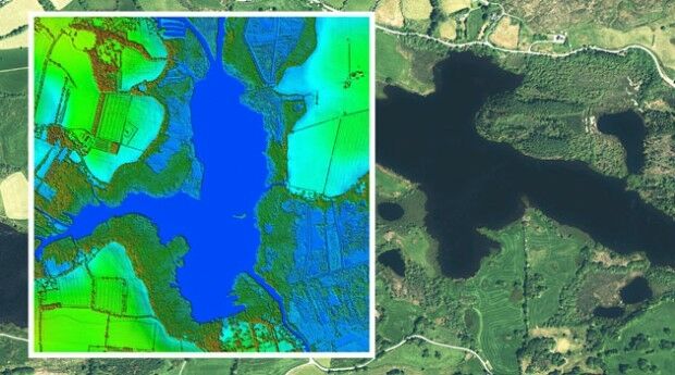
20th March 2017
Bluesky to 3D Laser Map Environmental Features in Ireland
18th March 2017
Image Platform Bundles for Analysis, Management, and Analytics18th March 2017
Esri Brings The Science of Where to IBM InterConnect 2017
16th March 2017
Why desktop is essential for drone mapping in agriculture16th March 2017
AND International Publishers NV 2016 Results16th March 2017
Global Mapper SDK and LiDAR Module SDK v18.1 Released15th March 2017
Cityworks Celebrates Long-Time Partnership with Esri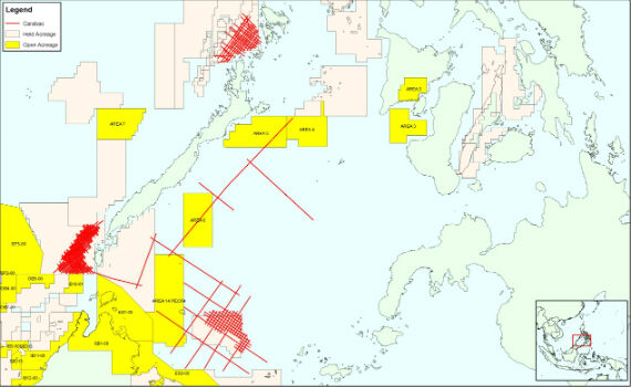
15th March 2017
CGG Completes Processing of Carabao Regional Multi-Client Study

15th March 2017
Esri Will Donate Software to Fight Drug Addiction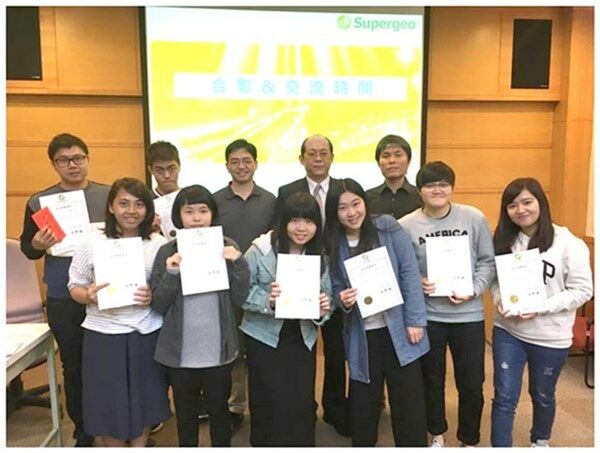
15th March 2017
Shih Hsin University Winner of SuperGIS Youth Award 2017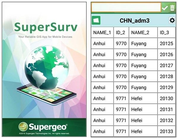
15th March 2017
The Cutting-edge Mobile GIS SuperSurv 10 Is Released!14th March 2017
On-the-Fly Earth Observation Imagery Analytics in Your Browser14th March 2017
OGC announces kickoff of major innovation testbed – Testbed 114th March 2017
OS and Trimble collaborate to aid geospatial industry innovation14th March 2017
Spatial Startup Companies to Share the Latest Innovations