Sierra Leone Makes Fourth Licensing Round Pre-Announcement
31st October 2017
Sierra Leone Makes Fourth Licensing Round Pre-Announcement31st October 2017
Sierra Leone Makes Fourth Licensing Round Pre-Announcement
31st October 2017
Sefton Council uses GIS to support ‘One Council’ policy
30th October 2017
Helping Councils get the Most from Infrastructure Asset Management30th October 2017
Three new exciting webinars are now opened for registration
28th October 2017
WorldView Global Alliance User Conference 2017 Report26th October 2017
CGG Awarded Contract for Licenses in Côte d’Ivoire26th October 2017
Smart City Capabilities at Smart City Expo World Congress 201726th October 2017
GfK releases updated maps for all of Europe
26th October 2017
Orbit GT updates 3D Mapping Cloud with great new UAV support26th October 2017
PCI Geomatics Signs MOU with AGH University, in Krakow, Poland26th October 2017
New OGC standard improves the reference for Earth Information25th October 2017
Bluesky's Tree Map Helps Community Forest Rebuild Environment
24th October 2017
VSTEP provide CAE with bridge simulators for UAE Naval Training Centre24th October 2017
Globalstar IoT Solution Protects Norway Reindeer from Train Collisions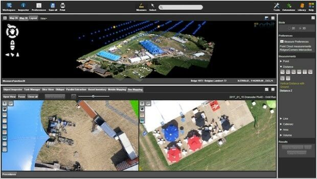
24th October 2017
Orbit GT launches new Feature Extraction product for Drones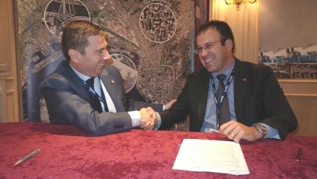
23rd October 2017
UrtheCast and e-GEOS together offer unique optical and SAR products23rd October 2017
Call for Proposals to develop NSDI Metadata Handbook in Namibia23rd October 2017
A new generation of disruptive property and location data businesses21st October 2017
Hexagon Supports Zurich’s Public Transportation Network21st October 2017
OceanWise Marine Data Management and GIS Workshop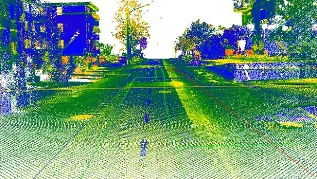
20th October 2017
Maintenance of the utility networks with Mobile Mapping technology18th October 2017
Geospatial Themed BIM Event Debates GIS Data Integration18th October 2017
Enhanced and Improved Functionalities for New Release of Global Mapper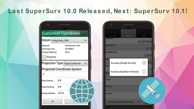
18th October 2017
Last SuperSurv 10.0 Update Released, Next: SuperSurv 10.1!17th October 2017
OceanWise Offers Continuity for Marine Mapping Users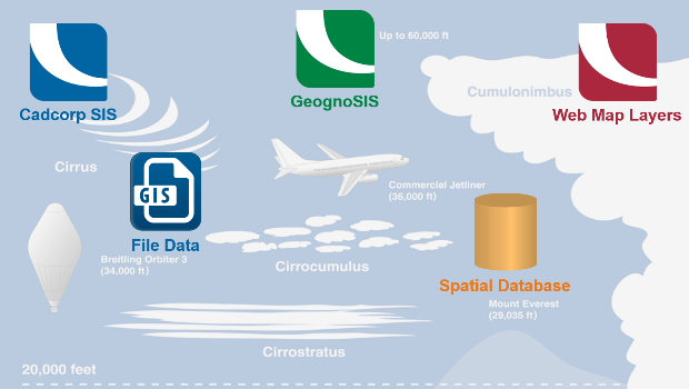
17th October 2017
Cloud migration path for Cadcorp web mapping16th October 2017
PDF3D work with Forensics to Bring 3D PDF into the Court Room14th October 2017
NavVis partners with PrecisionPoint to bring American indoors online13th October 2017
GSDI Webinar on Open Geospatial Data on 16 November 201712th October 2017
Geospatial World Forum is ‘must-attend’ event says AlphaBeta report12th October 2017
GriBat Consultants Selects SuperPad for Spatial Data Collection
11th October 2017
EUTELSAT 172B satellite reaches geostationary orbit in record time
9th October 2017
Collaboration for Constructioneering Academy initiative
6th October 2017
European Consortium Demonstrates new Internet-of-Things Platform5th October 2017
Geosoft and AcornSI move UXO classification to the cloud5th October 2017
OGC Announces New 3D Portrayal Service Standard
3rd October 2017
Satellite Images show Europe's diversity in new book
2nd October 2017
Frequentis and Hexagon for Nationwide Integrated Command Centers