
Rightware and HERE reimagine the digital automotive user experience
26th February 2019
Rightware and HERE reimagine the digital automotive user experience
26th February 2019
Rightware and HERE reimagine the digital automotive user experience26th February 2019
Global Mapper v.20.1 Now Available with Path Profile Zooming26th February 2019
Commercial UAV Expo Americas Announces Massive Support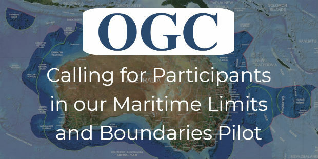
26th February 2019
OGC invites you to participate in its Maritime Limits and Boundaries Pilot26th February 2019
Hexagon Acquires Thermopylae Sciences & Technology
26th February 2019
thinkWhere Helps Atholl Estates Transition to QGIS
25th February 2019
Hexagon advances its 5D visualisation portfolio25th February 2019
HERE to offer mapping and location services for China
25th February 2019
Bentley Systems Introduces Mixed Reality App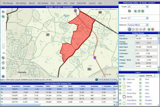
25th February 2019
Selected for Maryland's Online Redistricting Mapping Portal
25th February 2019
Blockchain and Distributed Ledger Technologies (BDLT) Domain Working Group
22nd February 2019
OceanWise are running a Scottish Marine Data and GIS Workshop
22nd February 2019
Danish Geodata Agency Partners with Esri
21st February 2019
Terra Drone brings proven UAS solutions to India

20th February 2019
New map from HERE Technologies shows quality of cell phone coverage
19th February 2019
American Red Cross to present at Esri UK AC

18th February 2019
Mapping and Monitoring the Carbon Content of Earth’s Forests16th February 2019
Offshore Survey 2019 Launches Technology Packed Programme
15th February 2019
exactEarth’s Revolutionary Global Real-Time Maritime Tracking
15th February 2019
Research project to offer neural networks training
15th February 2019
OGC requests public comment on draft charter for new Portrayal Domain Working Group15th February 2019
HERE establishes groundbreaking AI research institute
15th February 2019
Bentley Systems Announces OpenUtilities™ Solutions for DER13th February 2019
Esri's Dr. Dawn Wright to Speak at the College of William & Mary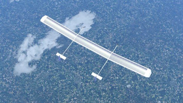
13th February 2019
New high-altitude platform to revolutionise the way we look at earth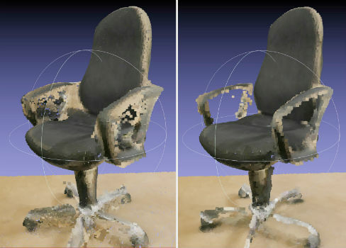
12th February 2019
NavVis now uses SLAM to automatically remove point cloud artifacts
12th February 2019
New for 2019 – GeoDATA Forum co-locates at GEO Business 201912th February 2019
PCI Geomatics Releases Geomatica and GXL 2018, SP1
12th February 2019
SimActive Expands its Partner Network for Medium Format Camera Solutions11th February 2019
Newport City Homes migrates to cloud hosted web mapping
11th February 2019
Exalto Emirates adds Martek's Anti Drone System to it's portfolio11th February 2019
CGG and TGS Announce Greater Castberg Survey in Barents Sea11th February 2019
MAPPS Presents the 2018 Geospatial Products and Services Excellence Awards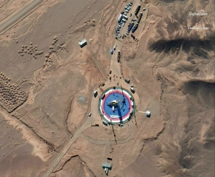
8th February 2019
Pre- and Post-Launch at of Iranian Satellite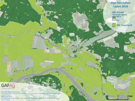
7th February 2019
Copernicus Land Monitoring: High-Resolution Layers 2018 kick off!6th February 2019
SIS 9 update: Workload Modeller and Risk Modeller6th February 2019
SIS 9 update: Workload Modeller and Risk Modeller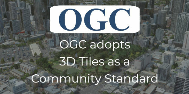
5th February 2019
OGC adopts 3D Tiles as Community Standard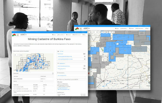
5th February 2019
Burkina Faso Establishes Computerised Mining Cadastre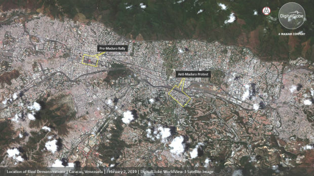
5th February 2019
DigitalGlobe Satellite Imagery: Protests in Caracas, Venezuela5th February 2019
2019 URISA Exemplary Systems in Government Awards Process Opens
5th February 2019
OGC invites you to participate in its UML-to-GML Application Schema