
DFS and Unifly cooperate on the development of drone app
10th March 2017
DFS and Unifly cooperate on the development of drone app10th March 2017
DFS and Unifly cooperate on the development of drone app10th March 2017
Topcon announces update to 2D indicate system for excavation10th March 2017
Topcon announces new Wi-Fi capability for imaging station10th March 2017
Oak Ridge National Laboratory Selects Esri
10th March 2017
Esri President Jack Dangermond to Talk at ASPRS IGTF 2017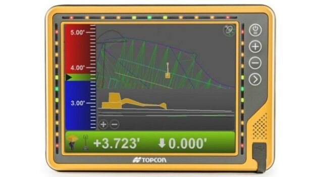
9th March 2017
New 10-inch touchscreen display for construction machine control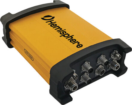
9th March 2017
Vector™ VR1000 Rugged GNSS Receiver for Machine Control Applications9th March 2017
Hemisphere GNSS Introduces LandMetrix™ OEM Toolkit
8th March 2017
Thales joins forces with Unifly to facilitate drone use
8th March 2017
Intelsat General becomes Airbus channel partner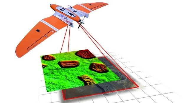
8th March 2017
Centrik Moves Into South Africa With Premier Aviation8th March 2017
Spirent Helps to Improve Search and Rescue Operations at Sea8th March 2017
Reality modelling software bundled with UAS software solutions8th March 2017
Swedish energy company E.ON has chosen Digpro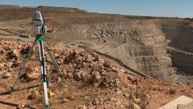
8th March 2017
Maptek delivers innovative smaller lighter, faster laser scanner
8th March 2017
Disaster Response for the Gulf Oil Spill Webinar7th March 2017
Hemisphere GNSS Introduces GradeMetrix™ Software7th March 2017
Spirent Helps to Improve Search and Rescue Operations at Sea
7th March 2017
GSSI Announces a New UtilityScan® GPR System7th March 2017
Hemisphere GNSS Introduces IronOne Rugged Display & Computer
7th March 2017
Garmin announces enhancements for G500H in R44 helicopter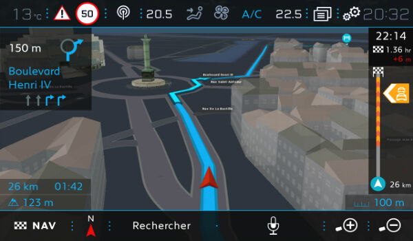
7th March 2017
TomTom Navigation Components for Next Generation Peugeots
7th March 2017
6 essentials for a machine control GPS receiver
7th March 2017
TomTom Celebrates Millionth Mercedes-Benz Car with TomTom Traffic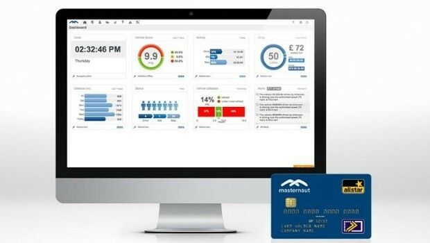
7th March 2017
Masternaut launches fuel card in partnership with AllStar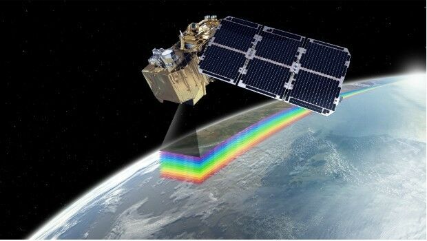
7th March 2017
Digital Earth & Locate17 to Boost Transport and Smart Cities6th March 2017
FREQUENTIS – 70 years of innovation for a safer world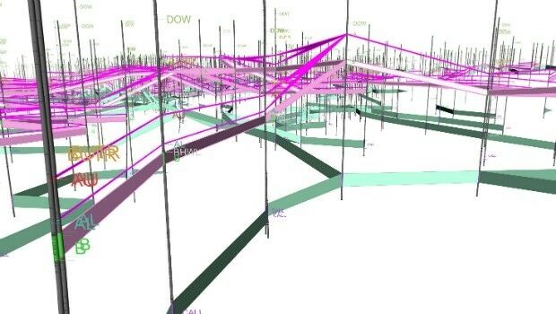
6th March 2017
Maptek resource modelling technology on show at PDAC4th March 2017
HERE welcomes BMW to the Open Location Platform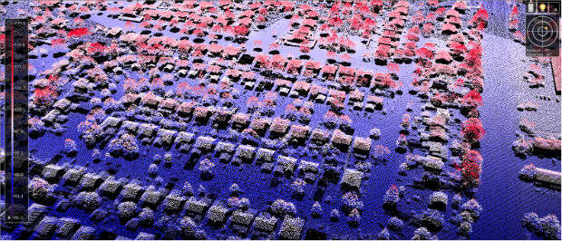
3rd March 2017
New Bathy DataBASE™, HIPS and SIPS™ released by Teledyne CARIS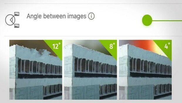
3rd March 2017
How do I choose the right image-capture settings for 3D models?_Gemeente_Amsterdam_2nd_March_2017_rel_compr.jpg)
2nd March 2017
Fugro’s Strategic Role In The Zuidasdok Project In Amsterdam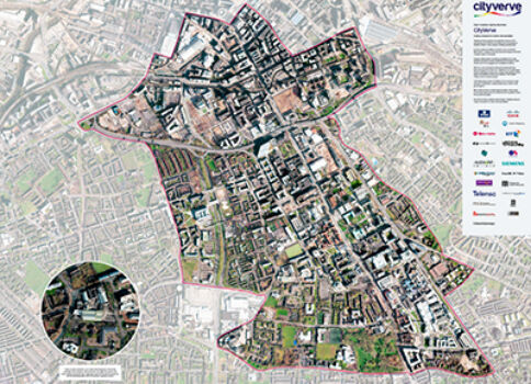
2nd March 2017
Opening the doors to innovation in Manchester’s corridor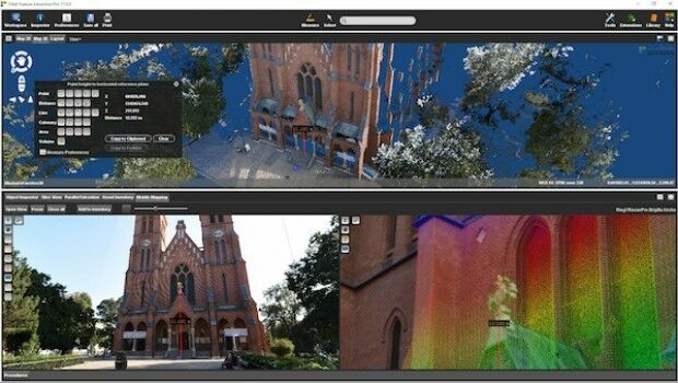
1st March 2017
Orbit GT and RIEGL strengthen data interoperability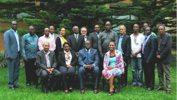
1st March 2017
GAF to provide technical assistance to GMES & Africa Support Programme
1st March 2017
Top GIS Housing Officer Links Up With Oxford Data Consultancy
1st March 2017
Bell Group Boosts Tracking Capabilities With Ctrack1st March 2017
Mobile Data Collection has never been easier!
1st March 2017
Looking for GNSS receiver for mining or construction?
1st March 2017
TDI-Brooks Completes Coring Program for TGS Gigante Mexico GoM Program
1st March 2017
Geosoft showcases VOXI IP and resistivity inversion technology1st March 2017
Global Mapper LiDAR Module v18.1 Now Available
28th February 2017
Botswana Geoscience Portal serves up 2000 downloads
28th February 2017
GeoSLAM Growth Continues With Two Senior Appointments