
New satellite hub lays groundwork for the future
15th May 2017
New satellite hub lays groundwork for the future
15th May 2017
New satellite hub lays groundwork for the future
15th May 2017
Icaros Releases Ver 5.0 of OneButton™ Drone Image Processing Software15th May 2017
Responding to Emerging Environmental Threats
15th May 2017
1Spatial releases dates for exciting FME World Tour, courses, webinars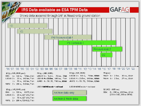
15th May 2017
IRS data now available free of charge to scientific users
13th May 2017
Maxoptra Route Planning delivers outstanding Q1 results

12th May 2017
Mobile Friendly Version of the GeoCalc Geodetic Registry Released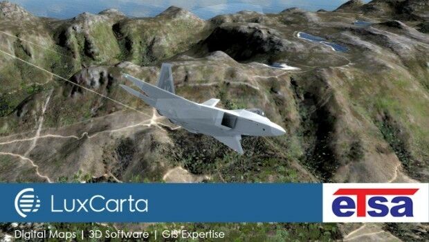
12th May 2017
LuxCarta Joins European Training & Simulation Association
12th May 2017
HGV Regulations Costing Logistics Sector Tens Of Millions11th May 2017
30 Years of Success Leads DAT/EM to Virtual Reality and UAS
11th May 2017
TDI-Brooks International To Perform Site Surveys
11th May 2017
NCTech partners with Google to pilot new 360-degree Street View camera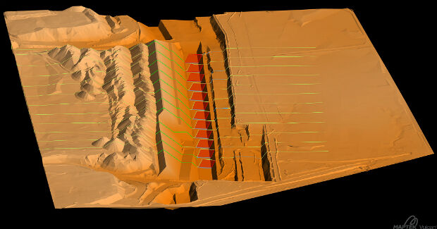
11th May 2017
Global software release from experienced solutions developer Maptek
10th May 2017
Leica Ready now offered on Liebherr dozers, excavators
10th May 2017
Garmin® Dash Cam™ 65W arrives with a 180-degree field of view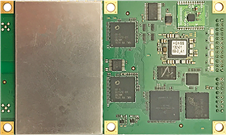
10th May 2017
Hemisphere GNSS Announces H328 OEM Positioning and Heading Board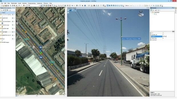
10th May 2017
Imajing provides ESRI users with online 3D enabled images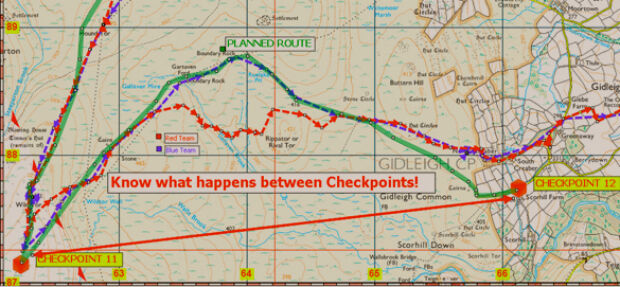
10th May 2017
Duke of Edinburgh's Award Entrusts SPOT and Mapyx10th May 2017
Eni to utilize Earth Observation satellite data and services
_vsm.jpg)
10th May 2017
Fugro Commences Mareano Survey For Norwegian Hydrographic Service9th May 2017
PCI Geomatics Now a Planet Ecosystem Partner
9th May 2017
2G Robotics and Sonardyne announce new collaboration
9th May 2017
Orbit GT updates 3D Mapping Cloud with faster Performance Measurements
9th May 2017
Applied Streetview Selects Quarry One Eleven for Marketing9th May 2017
Wantman Completes Extensive UAV Project with SimActive
8th May 2017
Parrot develops its commercial drone offer with end-to-end solutions
8th May 2017
Phase One Industrial Adds Support for DJI Drones
8th May 2017
exactEarth Announce Two-Year $1.45 Million Commercial Customer Renewal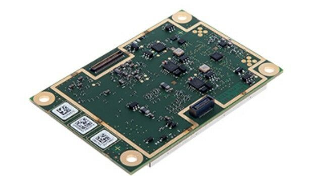
8th May 2017
Septentrio launches AsteRx-m2 OEM GNSS Receiver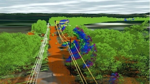
8th May 2017
Essential Energy use innovative technology to manage vegetation
5th May 2017
PCI Geomatics to Present OBIA and InSAR Papers at ISRSE-37
5th May 2017
Handheld Business Partner Conference Agenda Announced
4th May 2017
Save €225! Early-bird pricing ends tomorrow4th May 2017
Hydrographic Surveys To Improve Maritime Safety In Papua New Guinea
4th May 2017
Mesa 2 Rugged Tablet Now Runs on Android OS3rd May 2017
HERE placed at the core of connected services for drivers
3rd May 2017
senseFly Corridor solution boosts linear mapping projects efficiency3rd May 2017
Global Mapper and Geographic Calculator Free Academic License Program
2nd May 2017
Pix4Dmapper 3.2 Now Generates Tiled Level-of-Detail (LoD) Mesh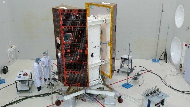
2nd May 2017
Delivering On-Demand Geoanalytics at Scale - A Harris Webinar