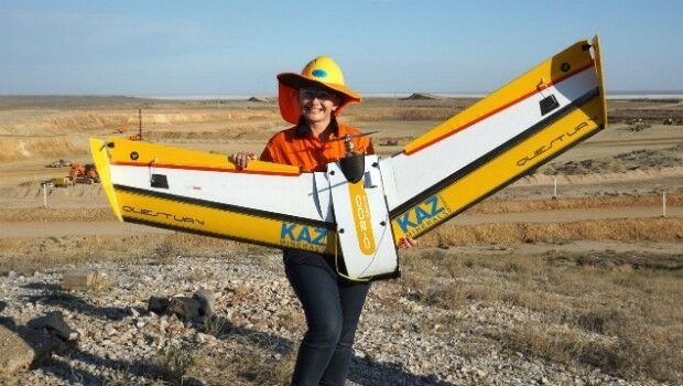
QuestUAV – Drone Girls versus Drone Boys
22nd February 2017
QuestUAV – Drone Girls versus Drone Boys
22nd February 2017
QuestUAV – Drone Girls versus Drone Boys
22nd February 2017
NAUTIZ X2 All-In-One Rugged Android Handheld Upgraded to Android 6.022nd February 2017
AddressBase Toolkit for Mapinfo Released By Aligned Assets
22nd February 2017
Global Mapper 18.1 Released with Improved 3D Viewing
22nd February 2017
European Space Imaging main provider of VHR satellite imagery to EC21st February 2017
UAV's help U.S. Military Boost Demand for Satellite Communication21st February 2017
GfK study on product-line purchasing power in Poland18th February 2017
EdgeData and Harris Corporation Collaboration
17th February 2017
Fugro Announces Partnership With Shell Ocean Discovery XPRIZE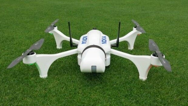
17th February 2017
Nokia showcases power of drones and LTE connectivity for public safety
16th February 2017
CGG Completes Industry-First FalconPlus Survey for Bapco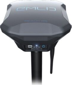
16th February 2017
Emlid unveils Reach RS: field-ready RTK GNSS receiver for only $69916th February 2017
Advanced Groundwater Technologies Joins PCI Reseller Partner Network
15th February 2017
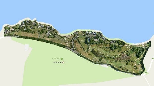
Three reasons golf courses are the next drone mapping territory
14th February 2017
Efficient and Safe Driving with Ctrack Vehicle Tracking System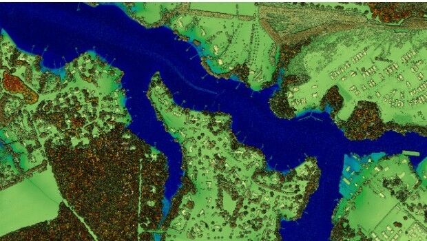
13th February 2017
New Leica SPL100 brings up to 10x more efficiency to airborne LiDAR mapping13th February 2017
Prototype for "native LAS 1.4 extension" of LASzip LiDAR Compressor Released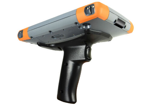
11th February 2017
Pistol Grip Addition to Mesa 2 Rugged Tablet™ for Barcode Scanning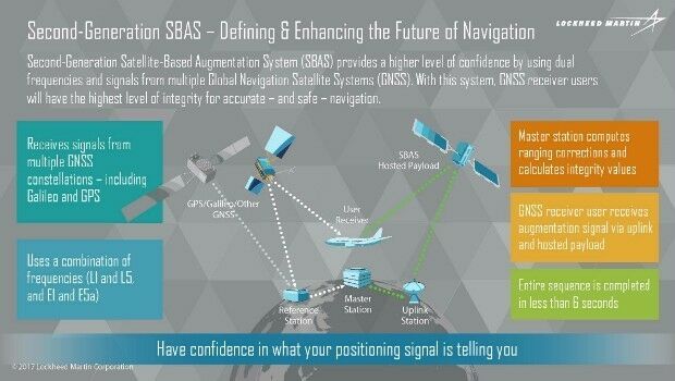
11th February 2017
Geoscience Australia and Lockheed Martin Begin Collaborative Research Project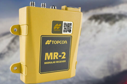
10th February 2017
Topcon GNSS modular receiver integrates with a wide-range of applications
10th February 2017
Ocean Business 2017 to host co-located Maritime Dual-use Events
10th February 2017
Skyline Software Systems Releases PhotoMesh 7.1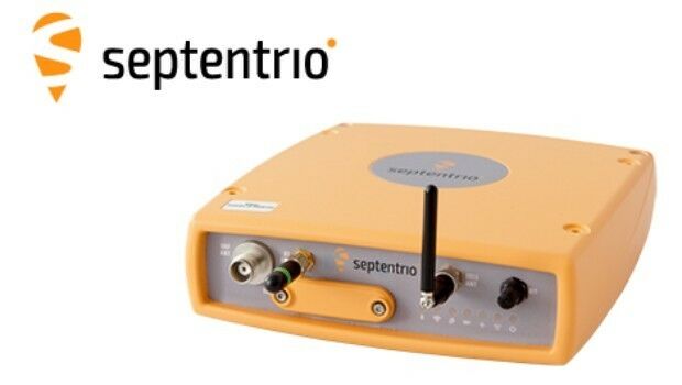
10th February 2017
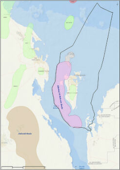
GNSS technology guarantees DEME's operations in areas of interference10th February 2017
The World’s Smartest Cities According to Unacast’s Report9th February 2017
Aeryon and DroneDeploy Partner to Deliver Enterprise UAS Solutions9th February 2017
Blue Marble's Latest Innovations in the Global Mapper LiDAR Module
8th February 2017
Commercial UAV Expo Europe Announces Early Backers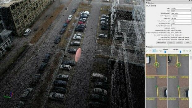
8th February 2017
Achieving best accuracy with error ellipsoid in Pix4Dmapper rayCloud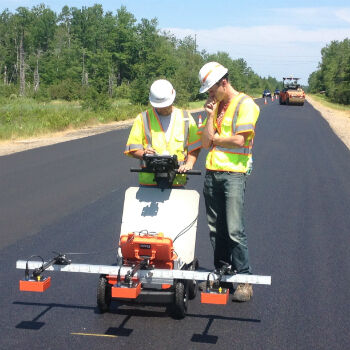
8th February 2017
GSSI Showcases Updated GPR Technology at CONEXPO-CON/AGG 20178th February 2017
The Getech Group Wins OGA 21CXRM Contract
8th February 2017
PCI Joins the Geological Remote Sensing Group

8th February 2017
ALGIZ 8X Rugged Tablet, a New Tough Computer from Handheld7th February 2017
Avenza Releases Geographic Imager 5.2 for Adobe Photoshop
7th February 2017
Renishaw releases updated Void Scanner cavity monitoring system
7th February 2017
Garmin® announces EASA approval of the G5 electronic flight instrument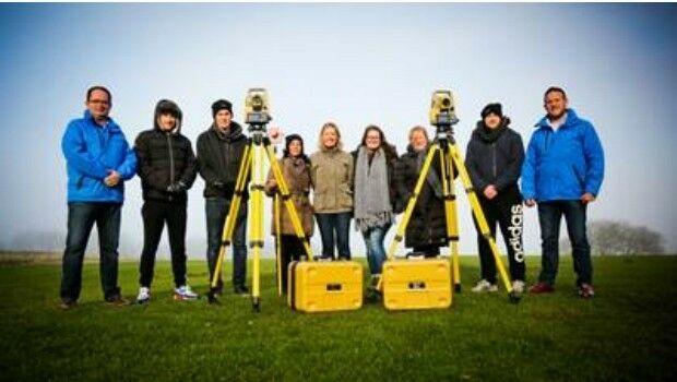
6th February 2017
Topcon helps COYO to inspire the next generation of land surveyors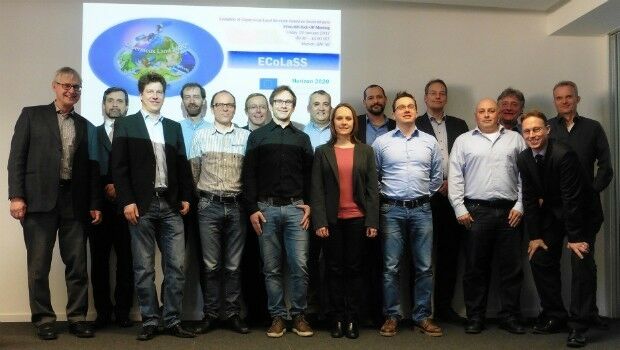
6th February 2017
GAF AG and Partners to Investigate the Future Evolution of Copernicus6th February 2017
Airbus and ENGIE Ineo help control French military air operations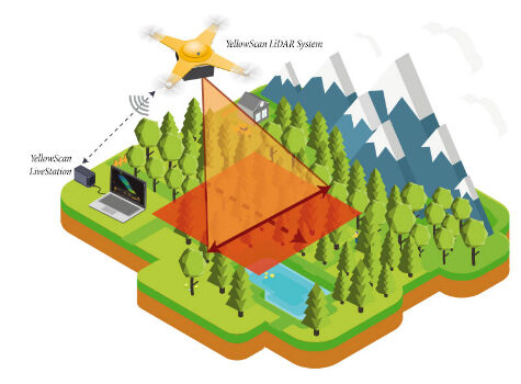
6th February 2017
YellowScan launches YellowScan LiveStation
3rd February 2017
Pakistan Government Chooses Fugro for Extensive Minerals Exploration
2nd February 2017
CartoPac Adds iOS Support to Mobile Asset Management Software Suite