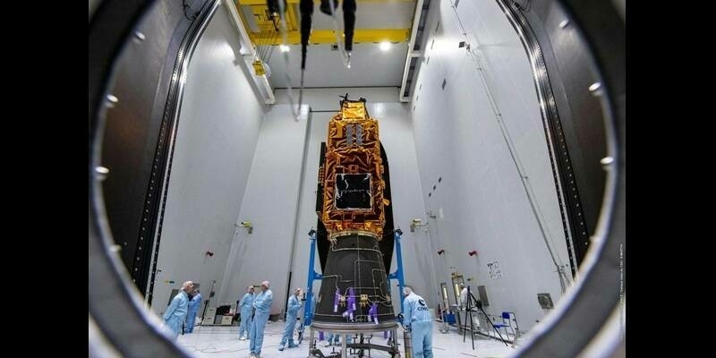
With the exponential growth of sensors, geospatial data and analytics in recent years, government GEOINT operations have started to lag. As the demand for more data grows, the NRO is pursuing purchasing more commercial imagery, now and in the future. This has caused more opportunities to become available to commercial enterprise. With the increase of commercial expertise within the GEOINT enterprise, GEOINT technology will be able to increase the speed of technology available to analysts, while also reducing the cost.
Discussions at DSI’s GEOINT & Open Source Analytics Summit will revolve around the challenges of integrating emerging technology and commercial expertise into the government GEOINT Enterprise. Military organizations, senior members of the geospatial and satellite community and industry partners will convene in Washington, DC for this two-day summit emphasizing the critical need for the creation of partnerships with commercial enterprise to enhance DoD, GEOINT and Open Source capabilities, enabling a greater understanding of the geospatial world and satisfying growing mission requirements.
To this end, the summit will feature senior level-speakers and sessions including:
- “Creating Trusted Geospatial Intelligence Partnerships in a Rapidly Evolving World”
David Gauthier, Director, Commercial and Business Operations Group, NGA
- “Advancing Analyst Capabilities through AI and other Emerging Technologies”
Dawn Meyerriecks, Deputy Director, Science and Technology Directorate, CIA
- “Partnering with Commercial Enterprises to Solve Existing and Emerging Security Challenges”
Peter Muend, Commercial GEOINT Director, NRO
- “Enhancing Public Understanding and Access to Strategic Geospatial Intelligence”
Chris Rasmussen, Program Manager, Tearline Program, NGA
- “Employing Open Source Data to Create More Accurate Maps”
Dr. Lee Schwartz, Geographer, Department of State
- “Applying GEOINT to Deliver Kinetic and Non-Kinetic Targeting Solutions to Commanders Worldwide””
Col Mack Curry II, USAF, Commander, 363rd ISR Group
DSI is now welcoming Intelligence Community Technologies as Sponsor and Exhibitors for the forum. To learn more please contact Luis Hernandez at lhernandez@dsigroup.org, 201-918-3478.
2019 Sponsors Include: Grier Forensics, Authentic8 and Idemia
In order to allow for actionable discussion and dialogue amongst speaker and attendees, seating will be limited. Register now to reserve your seat. Active military, government and state personnel attend complimentary. Those interested in participating in the 4th GEOINT & Open Source Analytics Summit can visit Defense Strategies Institute’s website at http://geoint.dsigroup.org/.
Anyone interested in learning more or sending questions contact Erica Noreika at enoreika@dsigroup.org, 201-896-7802.
Summit is closed to the press and no recordings will be allowed.
Subscribe to our newsletter
Stay updated on the latest technology, innovation product arrivals and exciting offers to your inbox.
Newsletter

