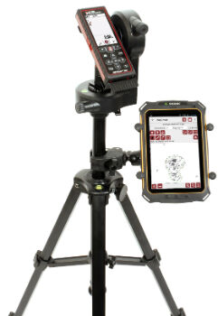
Cover More Ground in Less Time with Next-Generation Mapping Tools
5th July 2016
Cover More Ground in Less Time with Next-Generation Mapping ToolsNews as it happens! Keep in touch with the latest developments in business and technology in the regions or worldwide.
5th July 2016
Cover More Ground in Less Time with Next-Generation Mapping Tools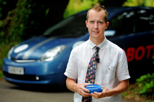
5th July 2016
Roke Demonstrates 3D ‘Black Box’ Technology For Vehicles
5th July 2016
Leica Geosystems announces world’s first fused airborne sensor

5th July 2016
New partnership: Masternaut & Same Day Courier Network

5th July 2016
European Commission Launches Copernicus Accelerator
5th July 2016
Moscow selects TomTom for a Smarter City future
5th July 2016
Join us for the Hexagon Media Roundtable at ISPRS5th July 2016
GreenRoad Announce New Partner Programme with Telecoms Suppliers in UK4th July 2016
WYG appointed on United Utilities AMP6 Geospatial Services Framework
4th July 2016
Fugro ground investigation project wins at industry awards
4th July 2016
Truckers get lifetime protection at no additional cost with TomTom
4th July 2016
New Initiative for Smart Mobility in the Karlsruhe Region1st July 2016
Bentley and Shell Announce Global Framework Agreement1st July 2016
Esri Fosters Industry Innovation with Unique Startup Program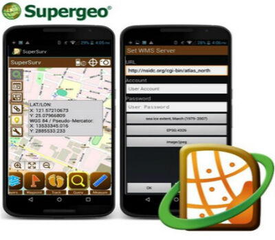
1st July 2016
SuperSurv Helps French Environment Department in Alsace1st July 2016
SuperGIS Desktop helps Public Works Department in Serang, Indonesia
1st July 2016
Esri Pledging $500,000 to White House Data Driven Justice Initiative1st July 2016
Faster Access to More Video Formats in New Release of ArcGIS1st July 2016
Innovators, Scholars, and Storytellers Celebrated at the Esri Awards30th June 2016
Trimble R2 GNSS Receiver Now Available for Data Collection